

Więcej o książce
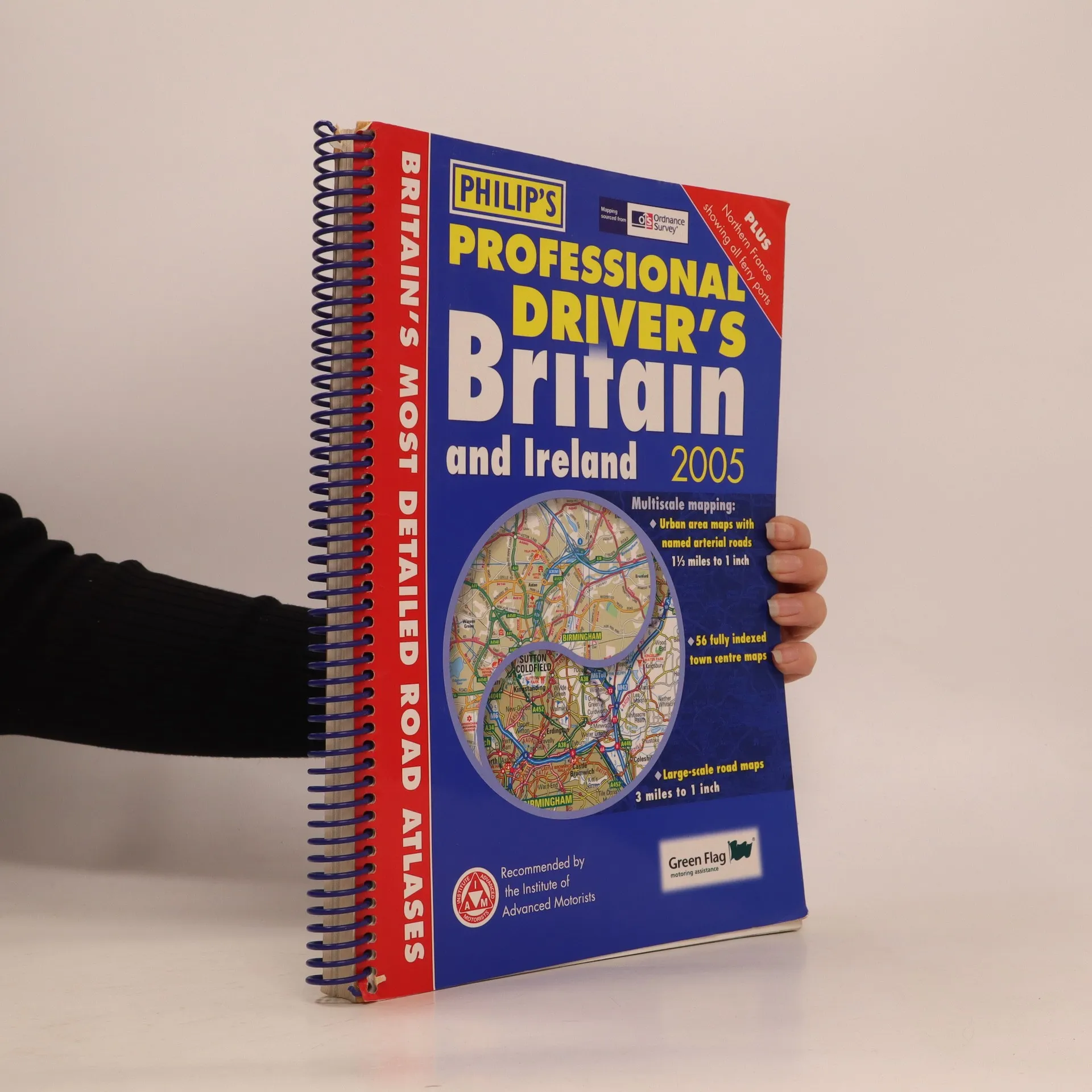
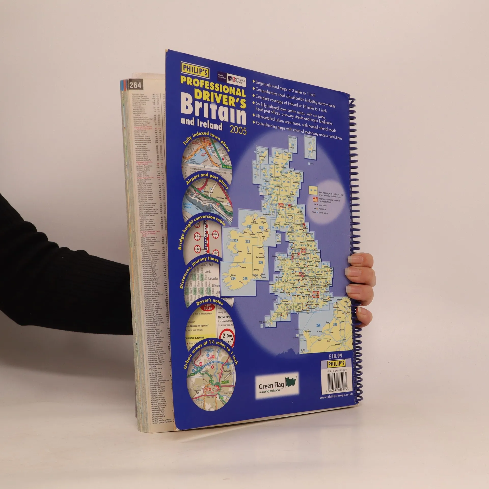
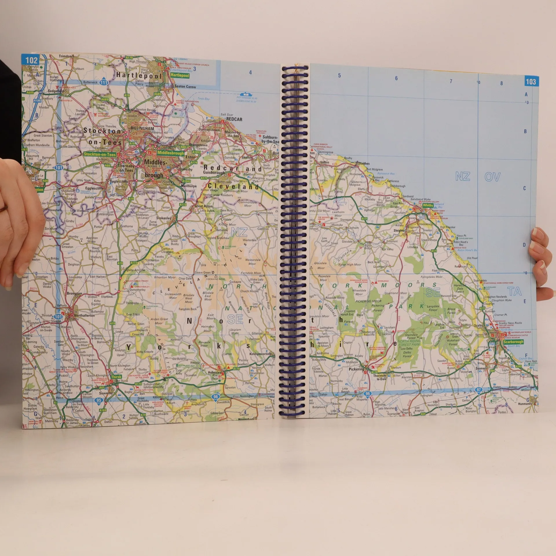
This exceptionally detailed atlas provides the increased level of information demanded by commercial drivers, whether of cars, vans or trucks. Especially worth noting are the indexed town plans and the coverage of Ireland, which is significantly better than any comparable road atlas. The 96 pages of standard-scale mapping cover Britain at 3 miles to 1 inch (north Scotland at 5 miles to 1 inch). More detailed mapping includes 56 fully indexed Town Centre Maps (including four in Ireland) plus ultra-clear approach maps with named arterial roads for 8 major cities: Birmingham, Edinburgh, Glasgow, Leeds, Liverpool, London, Manchester, and Newcastle. Also included are detailed airport plans for Heathrow, Gatwick and Manchester, plus port plans of Dover, Felixstowe, Portsmouth, and Southampton. Ireland is covered by seven pages of mapping with its own index. Across the channel, a full page map shows Calais and Boulogne town centres ad the surrounding area, and a double page map shows the full extent of the northern French coast including all ferry ports.
Zakup książki
Philip's Professional Driver's Britain and Ireland, 2005, Octopus Publishing Group, Great Britain. Ordnance Survey, George Philip & Son
- Język

- Rok wydania
- 2004
- Oprawa
- (spiralna)
Metody płatności
Nikt jeszcze nie ocenił.
- Tytuł
- Philip's Professional Driver's Britain and Ireland, 2005
- Język
- angielski
- Wydawca
- Philip's
- Rok wydania
- 2004
- Oprawa
- spiralna
- Liczba stron
- 264
- ISBN10
- 0540085960
- ISBN13
- 9780540085965
- Seria
- Kategorie
- Tagi
- Podróże
- Opis
- This exceptionally detailed atlas provides the increased level of information demanded by commercial drivers, whether of cars, vans or trucks. Especially worth noting are the indexed town plans and the coverage of Ireland, which is significantly better than any comparable road atlas. The 96 pages of standard-scale mapping cover Britain at 3 miles to 1 inch (north Scotland at 5 miles to 1 inch). More detailed mapping includes 56 fully indexed Town Centre Maps (including four in Ireland) plus ultra-clear approach maps with named arterial roads for 8 major cities: Birmingham, Edinburgh, Glasgow, Leeds, Liverpool, London, Manchester, and Newcastle. Also included are detailed airport plans for Heathrow, Gatwick and Manchester, plus port plans of Dover, Felixstowe, Portsmouth, and Southampton. Ireland is covered by seven pages of mapping with its own index. Across the channel, a full page map shows Calais and Boulogne town centres ad the surrounding area, and a double page map shows the full extent of the northern French coast including all ferry ports.