

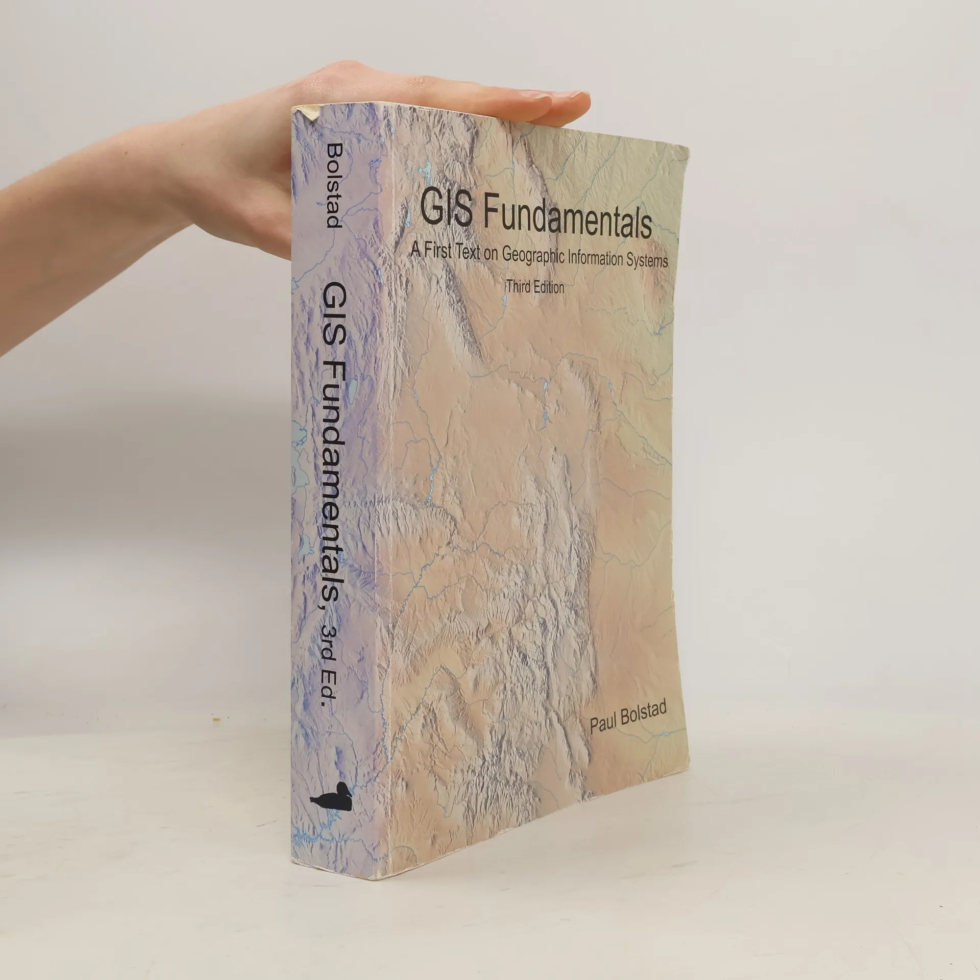


Więcej o książce
620 pp / Softcover Geographic Information Systems (GIS) are computer-based tools for the entry, maintenance, and analysis of spatially-referenced data. GIS are critical to the effective management of constructed and natural resources, and they have been applied in science, business, education, and government to improve our lives. This book provides a thorough introduction to the theory and application of GIS. The book is written for use as a textbook in an introductory course at the university level. It seeks to balance theoretical and applied material, so that students may apply knowledge of GIS in the solution of real-world problems. Topics include an introduction to GIS, spatial data models, map projections and coordinate systems, data entry, aerial photographs and satellite images, GPS, digital data, relational and other databases, vector and raster spatial analyses, terrain modeling, interpolation, cartographic modeling, metadata, standards, accuracy assessments, and a description of future trends.
Zakup książki
GIS fundamentals : A First Text on Geographic Information Systems, Paul Bolstad
- Język

- Rok wydania
- 2008
- Oprawa
- (miękka)
Metody płatności
Brakuje nam tutaj Twojej recenzji.
- Tytuł
- GIS fundamentals : A First Text on Geographic Information Systems
- Język
- angielski
- Autorzy
- Paul Bolstad
- Wydawca
- Eider Press
- Rok wydania
- 2008
- Oprawa
- miękka
- Liczba stron
- 634
- ISBN10
- 0971764727
- ISBN13
- 9780971764729
- Seria
- Tagi
- Ocena
- 3,4 z 5
- Opis
- 620 pp / Softcover Geographic Information Systems (GIS) are computer-based tools for the entry, maintenance, and analysis of spatially-referenced data. GIS are critical to the effective management of constructed and natural resources, and they have been applied in science, business, education, and government to improve our lives. This book provides a thorough introduction to the theory and application of GIS. The book is written for use as a textbook in an introductory course at the university level. It seeks to balance theoretical and applied material, so that students may apply knowledge of GIS in the solution of real-world problems. Topics include an introduction to GIS, spatial data models, map projections and coordinate systems, data entry, aerial photographs and satellite images, GPS, digital data, relational and other databases, vector and raster spatial analyses, terrain modeling, interpolation, cartographic modeling, metadata, standards, accuracy assessments, and a description of future trends.