


Więcej o książce
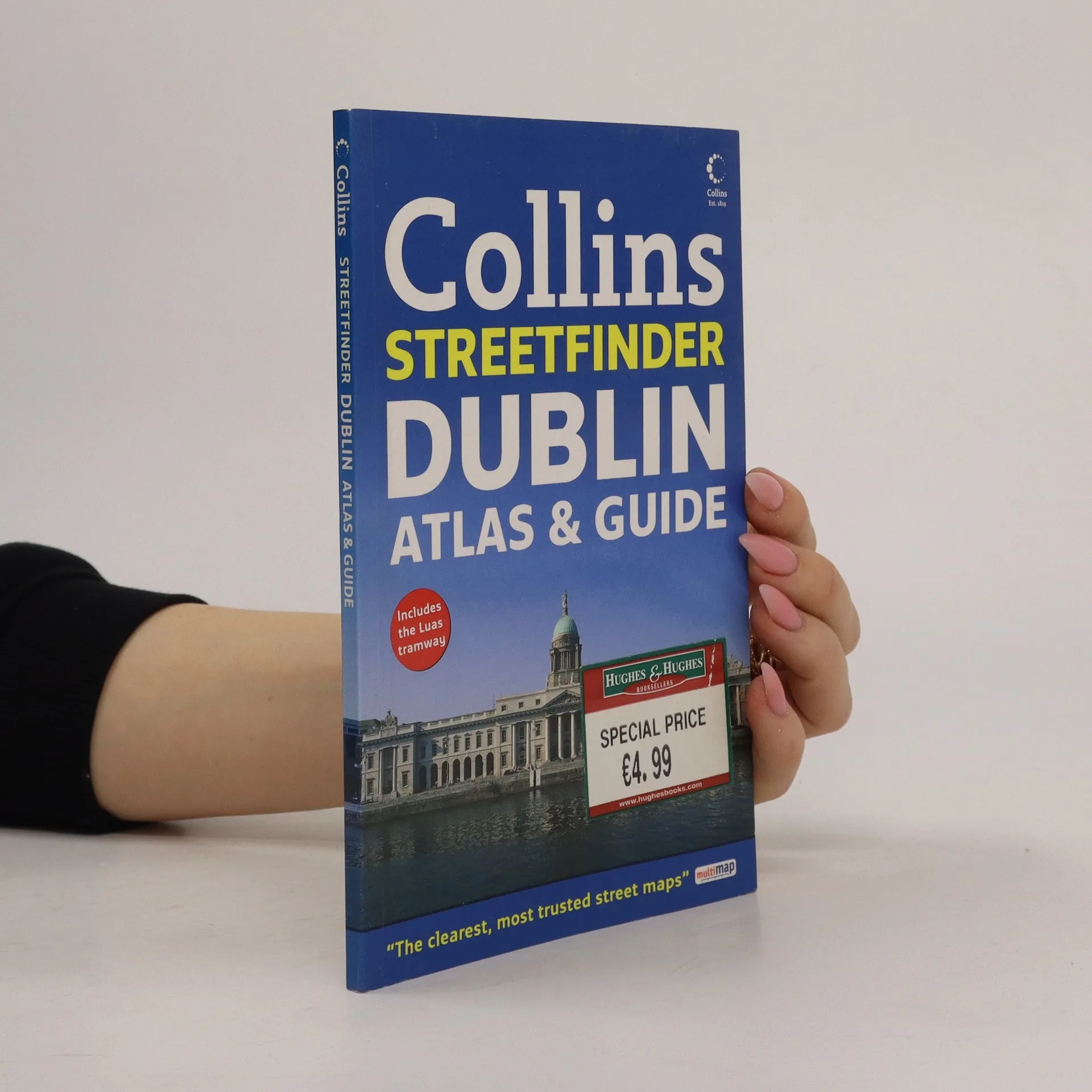
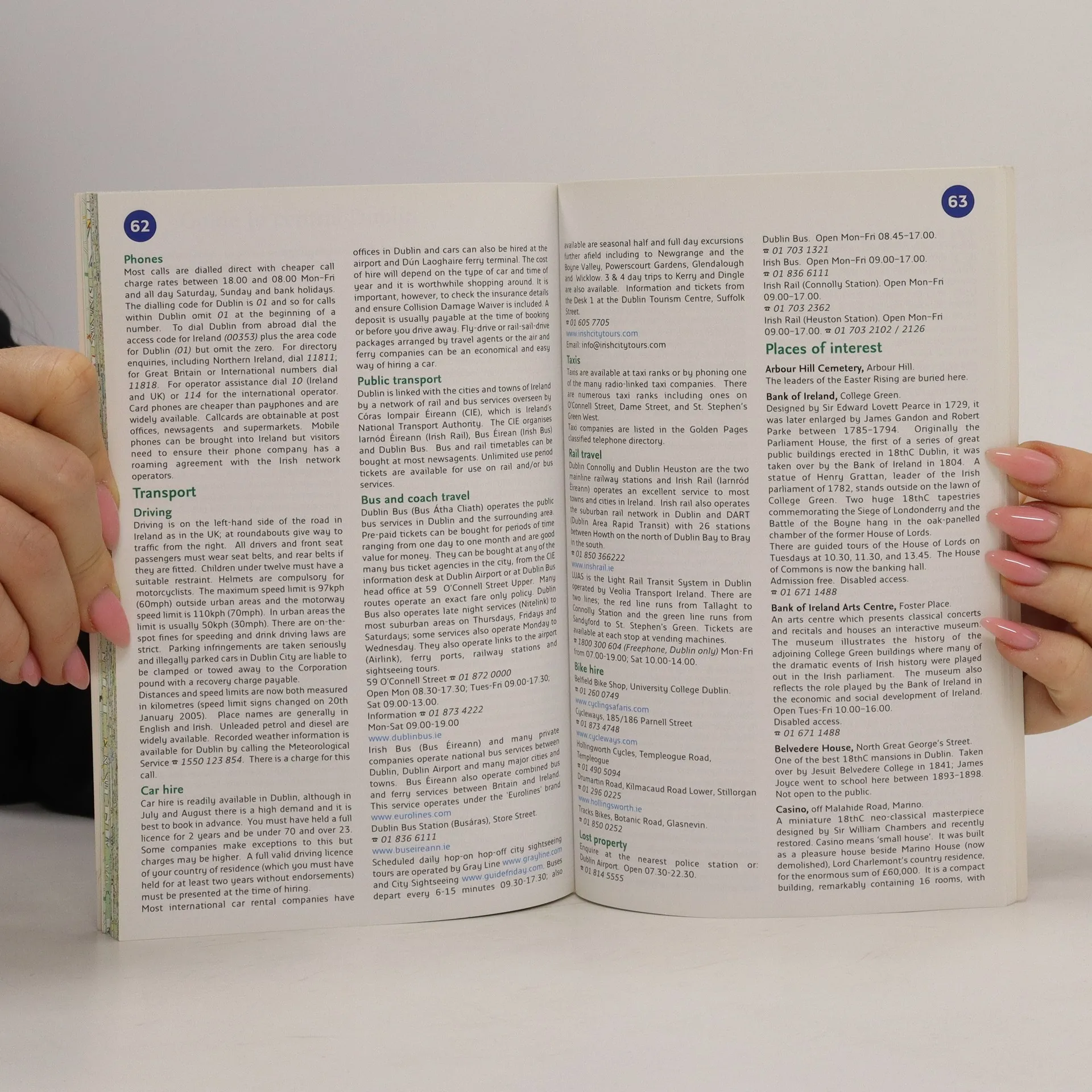
4 inches to 1 mile 1:15,840 approx. Handy full colour street atlas featuring clear, detailed mapping with guide to places of interest in Dublin. Excellent for the tourist. This clear, detailed full colour street mapping has been fully revised for 2008. Within the atlas there is also a useful information section with details on local hospitals, police stations, parks and gardens, theatres and galleries, libraries and where to go for help and advice as well as places of tourist interest in the Dublin area. The map and guide includes: · Important buildings and places of interest. · Car parks and railway stations. · Full index to streets. · Route planning mapping showing places of tourist interest in the countryside surrounding Dublin. The mapping extends from Beaumont in the north to Dundrum in the south, and includes Castleknock and Phoenix Park in the west over to the coast in the east. The handy format and wealth of information in the product make it an essential purchase for visitors. The large area of coverage and clarity of the mapping will mean that residents and business users will also find it an invaluable product.
Zakup książki
Dublin Atlas and Guide, Collins
- Język

- Rok wydania
- 2008
- Oprawa
- (miękka)
Metody płatności
Nikt jeszcze nie ocenił.
- Tytuł
- Dublin Atlas and Guide
- Język
- angielski
- Autorzy
- Collins
- Wydawca
- Collins
- Rok wydania
- 2008
- Oprawa
- miękka
- Liczba stron
- 98
- ISBN10
- 0007254644
- ISBN13
- 9780007254644
- Seria
- Tagi
- Podróże
- Opis
- 4 inches to 1 mile 1:15,840 approx. Handy full colour street atlas featuring clear, detailed mapping with guide to places of interest in Dublin. Excellent for the tourist. This clear, detailed full colour street mapping has been fully revised for 2008. Within the atlas there is also a useful information section with details on local hospitals, police stations, parks and gardens, theatres and galleries, libraries and where to go for help and advice as well as places of tourist interest in the Dublin area. The map and guide includes: · Important buildings and places of interest. · Car parks and railway stations. · Full index to streets. · Route planning mapping showing places of tourist interest in the countryside surrounding Dublin. The mapping extends from Beaumont in the north to Dundrum in the south, and includes Castleknock and Phoenix Park in the west over to the coast in the east. The handy format and wealth of information in the product make it an essential purchase for visitors. The large area of coverage and clarity of the mapping will mean that residents and business users will also find it an invaluable product.