

Więcej o książce
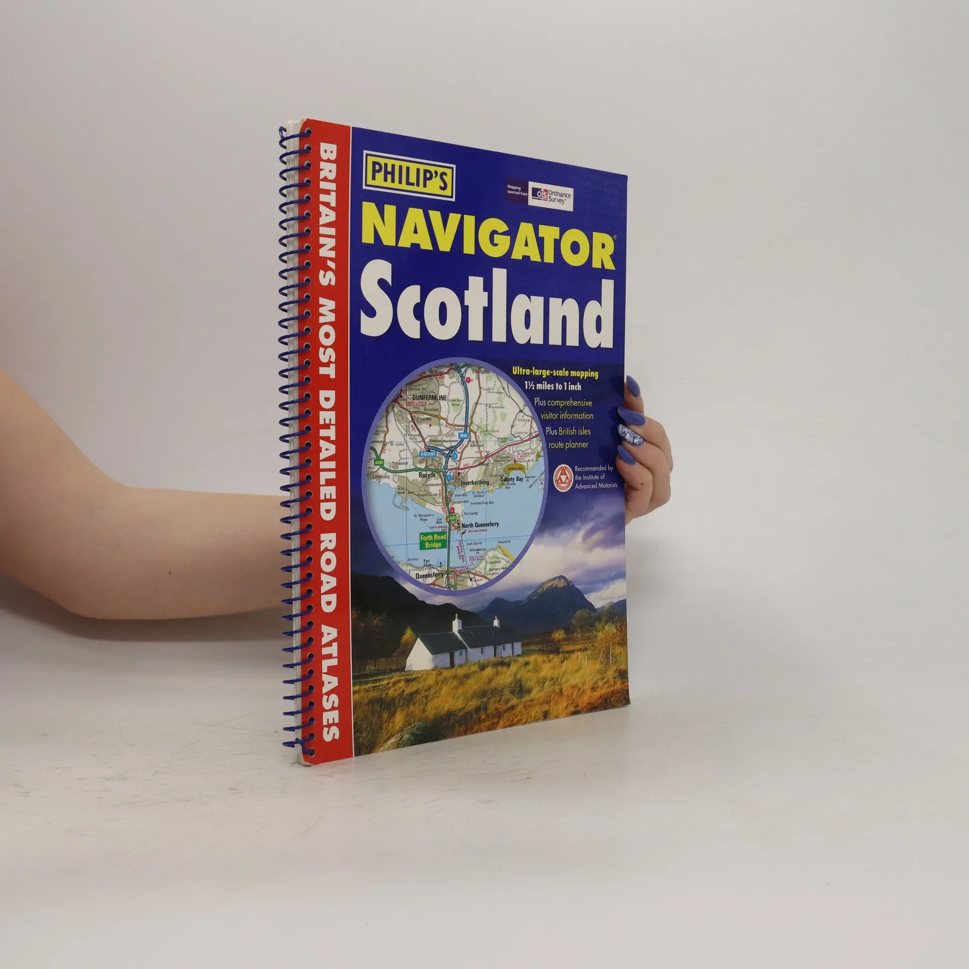
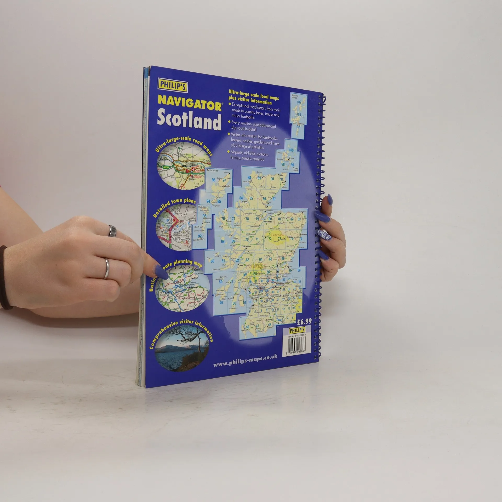
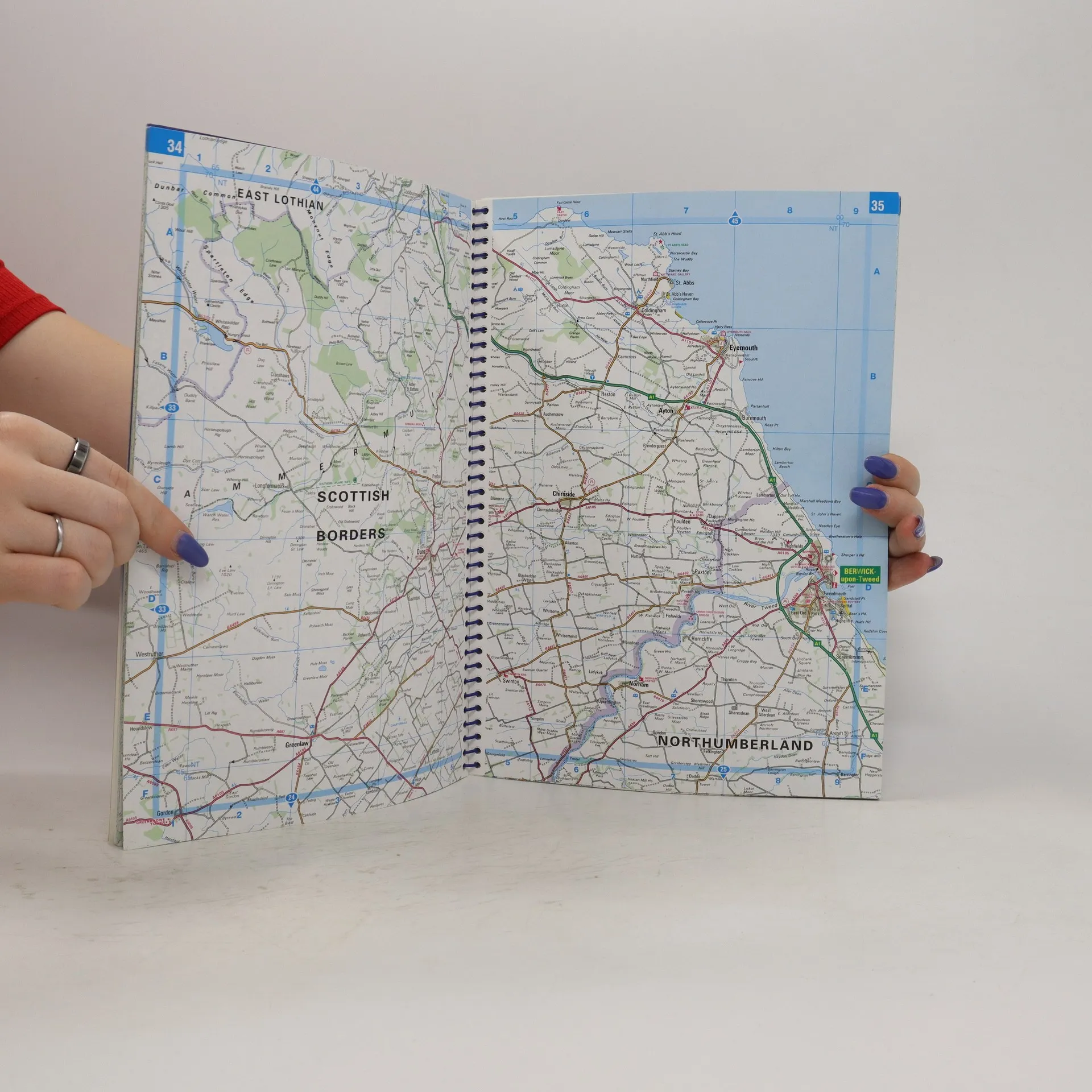
This fully revised edition is the most detailed road atlas of Scotland, featuring a scale of 1.5 miles to 1 inch (3 miles to 1 inch in the Highlands and islands). It displays the entire road network, including minor country lanes, rural tracks, and major footpaths, along with every junction, roundabout, and slip-road. The atlas includes thousands of individually named farms, houses, and hamlets, as well as airports, airfields, stations, ferries, canals, marinas, and various points of interest. A comprehensive index and indexed town plans of major regional centers enhance usability. At the front, a unique 16-page guide to regional leisure provides details on attractions such as castles, cathedrals, gardens, and museums, along with listings of activities ranging from abseiling to yachting. It also includes essential information on services like tourist information offices and hospitals with casualty departments. Designed with leisure users in mind, the atlas is perfect for touring, thanks to its large scale and extensive travel information. Its exceptional detail also makes it suitable for local business applications, such as planning and delivery driving. This atlas is part of a series covering various regions, including Wales and the Northwest.
Zakup książki
Navigator Scotland, kolektiv
- Język

- Rok wydania
- 2006
- Oprawa
- (spiralna)
Metody płatności
Nikt jeszcze nie ocenił.
- Tytuł
- Navigator Scotland
- Język
- angielski
- Autorzy
- kolektiv
- Wydawca
- Philip's
- Rok wydania
- 2006
- Oprawa
- spiralna
- Liczba stron
- 144
- ISBN10
- 0540088862
- ISBN13
- 9780540088867
- Seria
- Tagi
- Podróże
- Opis
- This fully revised edition is the most detailed road atlas of Scotland, featuring a scale of 1.5 miles to 1 inch (3 miles to 1 inch in the Highlands and islands). It displays the entire road network, including minor country lanes, rural tracks, and major footpaths, along with every junction, roundabout, and slip-road. The atlas includes thousands of individually named farms, houses, and hamlets, as well as airports, airfields, stations, ferries, canals, marinas, and various points of interest. A comprehensive index and indexed town plans of major regional centers enhance usability. At the front, a unique 16-page guide to regional leisure provides details on attractions such as castles, cathedrals, gardens, and museums, along with listings of activities ranging from abseiling to yachting. It also includes essential information on services like tourist information offices and hospitals with casualty departments. Designed with leisure users in mind, the atlas is perfect for touring, thanks to its large scale and extensive travel information. Its exceptional detail also makes it suitable for local business applications, such as planning and delivery driving. This atlas is part of a series covering various regions, including Wales and the Northwest.