

Wyprzedane, ale poszukiwane!

Parametry
Więcej o książce
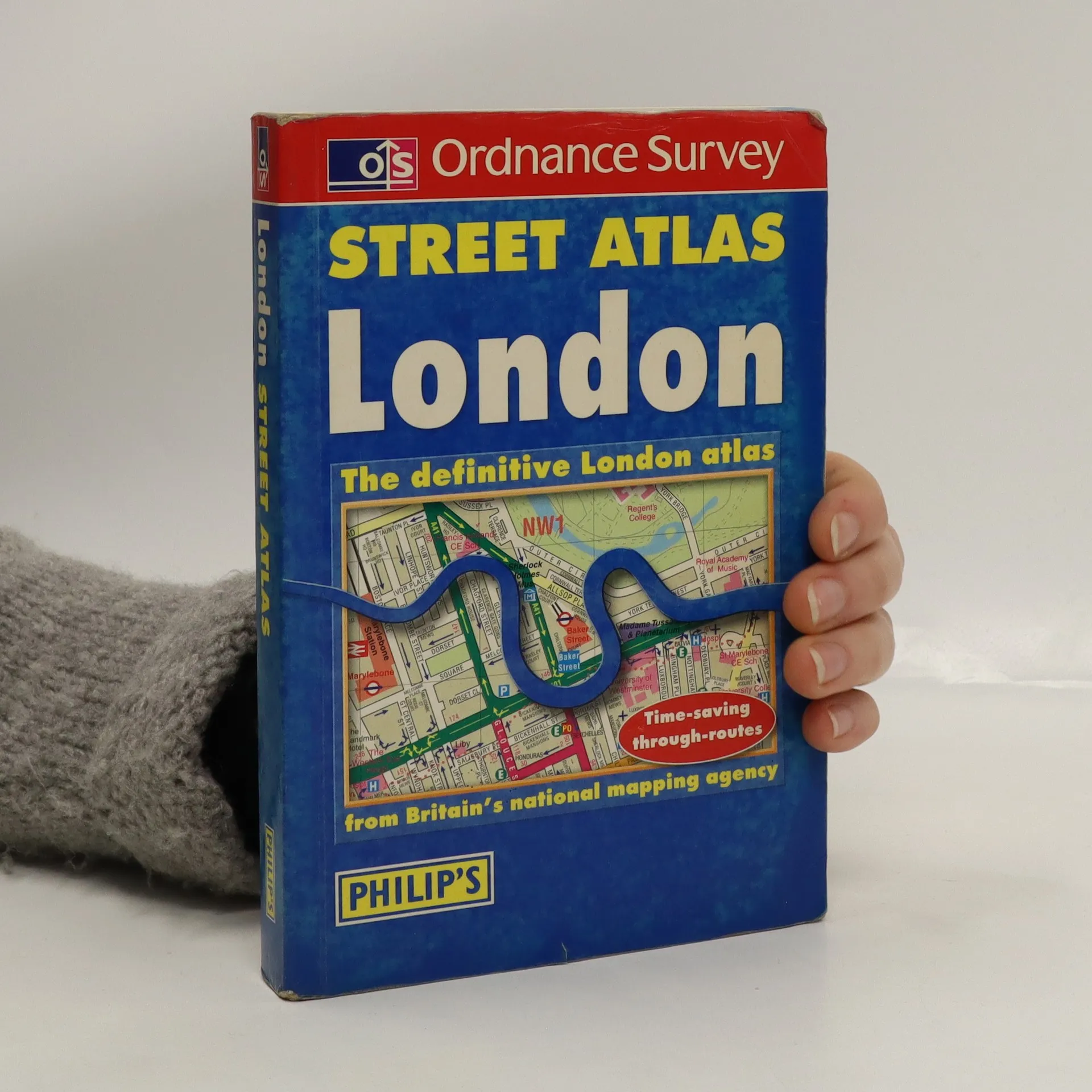
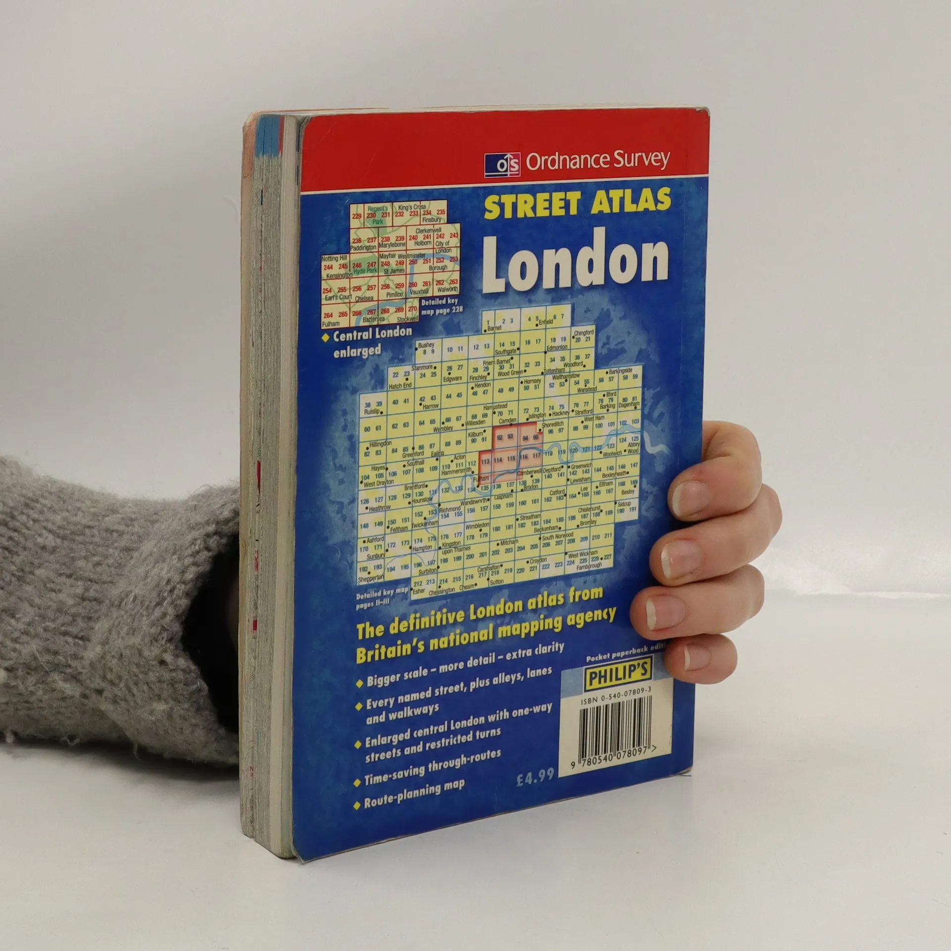
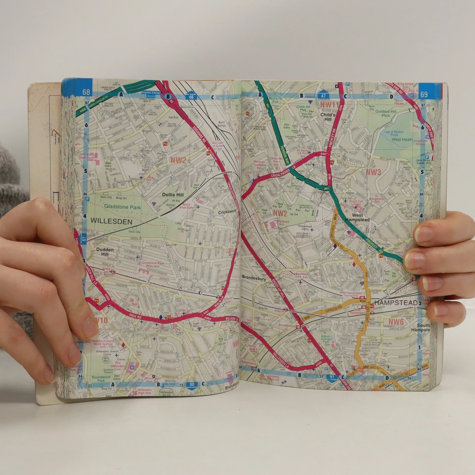
This atlas uses a scale of 3.5 inches:1 mile. It has a detailed index and shows through routes to help with journey planning. A planning map shows main roads in and out of London, and there are route indicators on major roads as they come to the edge of the mapping. Postcode districts and boundaries are shown on both the main mapping and on a separate map. The central area is enlarged (7 inches:1 mile), and shows one-way streets and restricted turns.
Zakup książki
Street Atlas: London, kolektiv
- Język

- Rok wydania
- 2000
- Oprawa
- (miękka)
Jak tylko się pojawi, wyślemy Ci wiadomość e-mail.
Metody płatności
Nikt jeszcze nie ocenił.
- Tytuł
- Street Atlas: London
- Język
- angielski
- Autorzy
- kolektiv
- Wydawca
- Philip's
- Rok wydania
- 2000
- Oprawa
- miękka
- ISBN10
- 0540078093
- ISBN13
- 9780540078097
- Seria
- Kolekcja
- Ordnance Survey
- Tagi
- Podróże
- Opis
- This atlas uses a scale of 3.5 inches:1 mile. It has a detailed index and shows through routes to help with journey planning. A planning map shows main roads in and out of London, and there are route indicators on major roads as they come to the edge of the mapping. Postcode districts and boundaries are shown on both the main mapping and on a separate map. The central area is enlarged (7 inches:1 mile), and shows one-way streets and restricted turns.