

Parametry
Więcej o książce
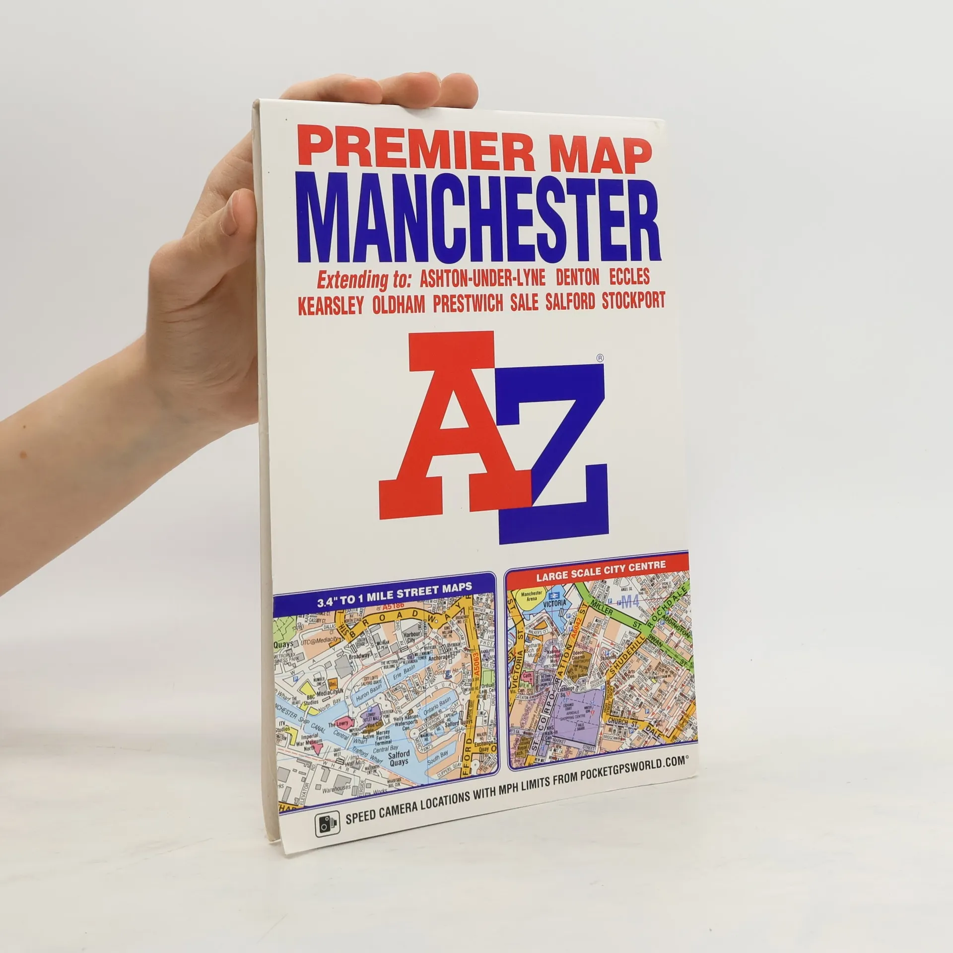
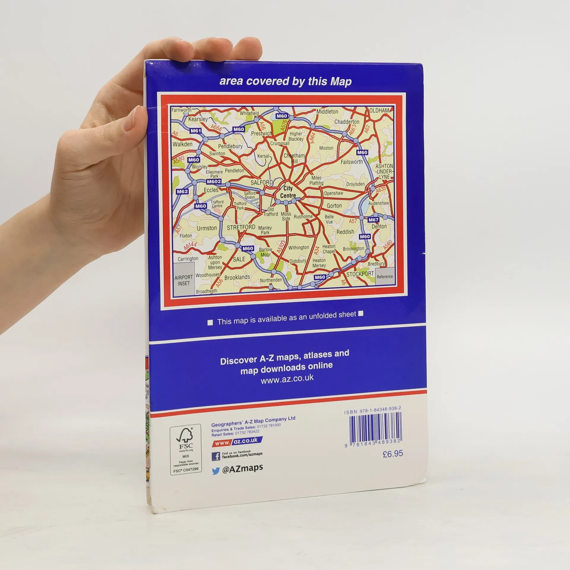
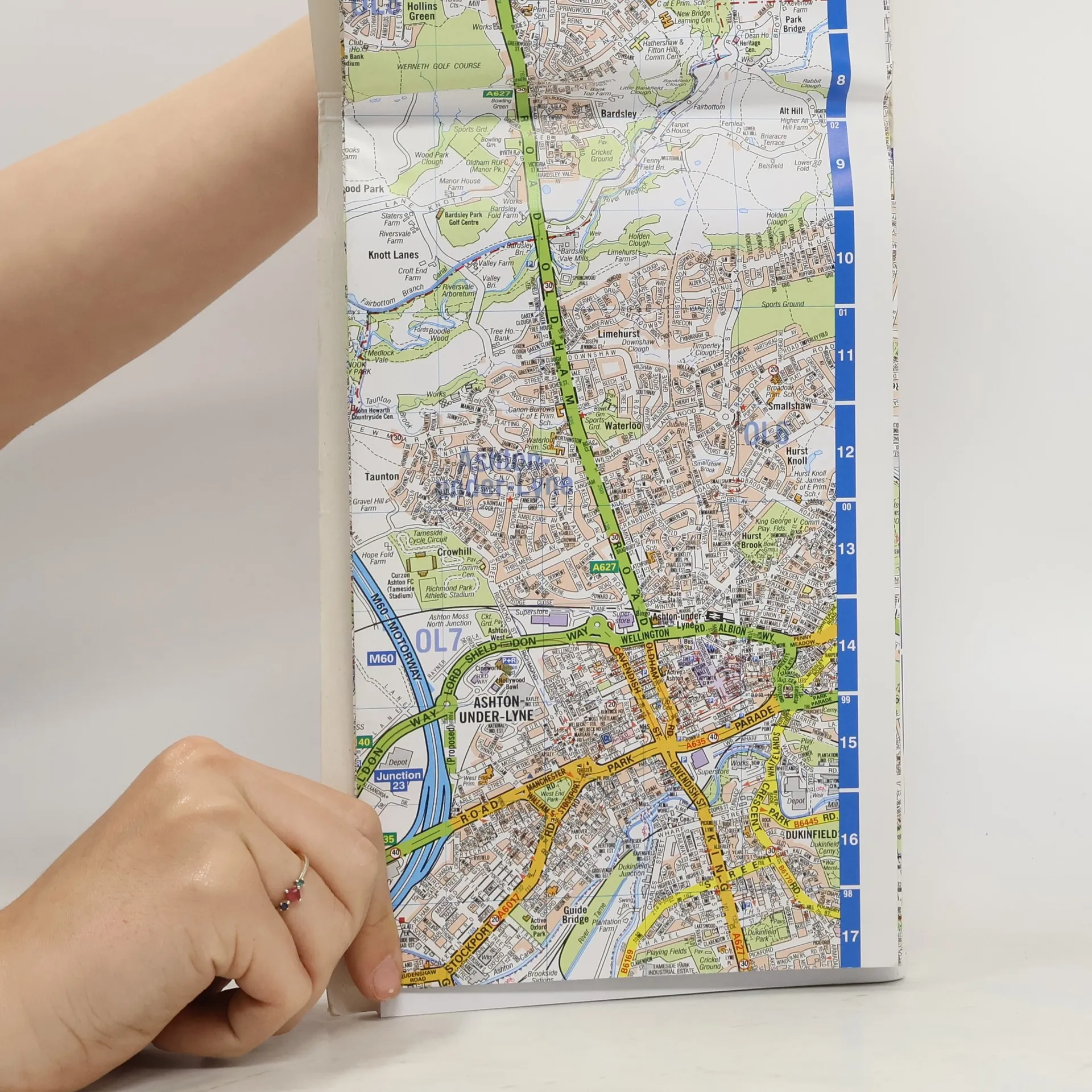
This A-Z Premier map of Manchester is a full colour, single sided, fold-out street map covering the whole of the M60 orbital motorway and extending to: -Kearsley-Whitefield-Oldham-Ashton-under-Lyne-Bredbury-Stockport-Broadheath-Irlam-Worsley-WalkdenAlso included is an inset map of Manchester International Airport. A large scale city centre map of Manchester and a Manchester Rail and Metrolink Connections map are featured on the inside of the cover.Postcode districts, one-way streets and safety camera locations with their maximum speed limits are featured on the street mapping.Attached to the cover is a booklet containing the index which lists streets, selected flats, walkways and places of interest, place and area names, National Rail stations and Metrolink stops, hospitals, hospices and NHS Walk-in Centres covered by this map.
Zakup książki
Manchester Premier Map, Geographers A. Z. Map Company
- Język

- Rok wydania
- 2016
- Oprawa
- (inna)
Metody płatności
Nikt jeszcze nie ocenił.
- Tytuł
- Manchester Premier Map
- Język
- angielski
- Wydawca
- Geographers' A-Z Map Co Ltd
- Rok wydania
- 2016
- Oprawa
- inna
- ISBN10
- 1843489384
- ISBN13
- 9781843489382
- Seria
- Kategorie
- Tagi
- Encyklopedie
- Opis
- This A-Z Premier map of Manchester is a full colour, single sided, fold-out street map covering the whole of the M60 orbital motorway and extending to: -Kearsley-Whitefield-Oldham-Ashton-under-Lyne-Bredbury-Stockport-Broadheath-Irlam-Worsley-WalkdenAlso included is an inset map of Manchester International Airport. A large scale city centre map of Manchester and a Manchester Rail and Metrolink Connections map are featured on the inside of the cover.Postcode districts, one-way streets and safety camera locations with their maximum speed limits are featured on the street mapping.Attached to the cover is a booklet containing the index which lists streets, selected flats, walkways and places of interest, place and area names, National Rail stations and Metrolink stops, hospitals, hospices and NHS Walk-in Centres covered by this map.