

Więcej o książce
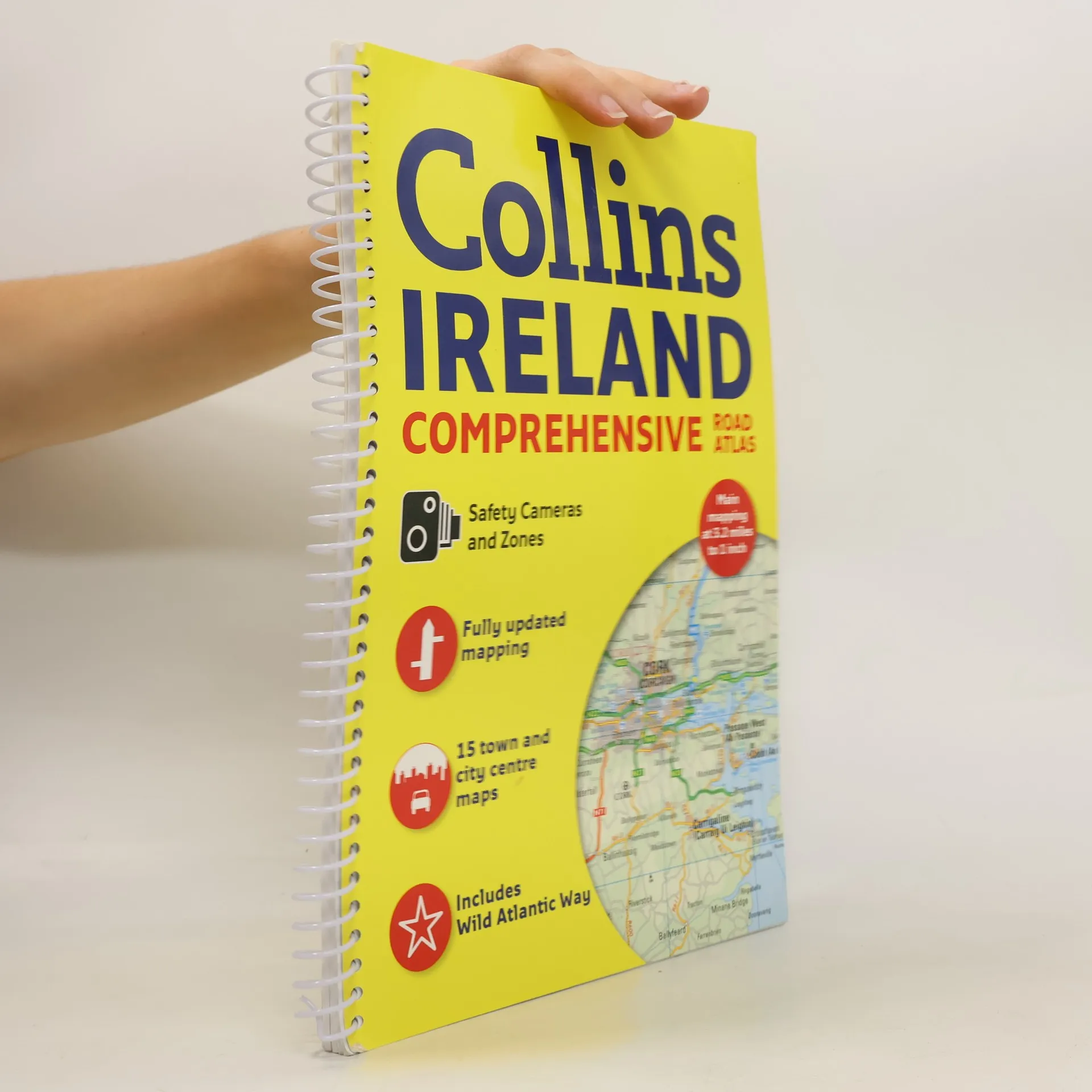
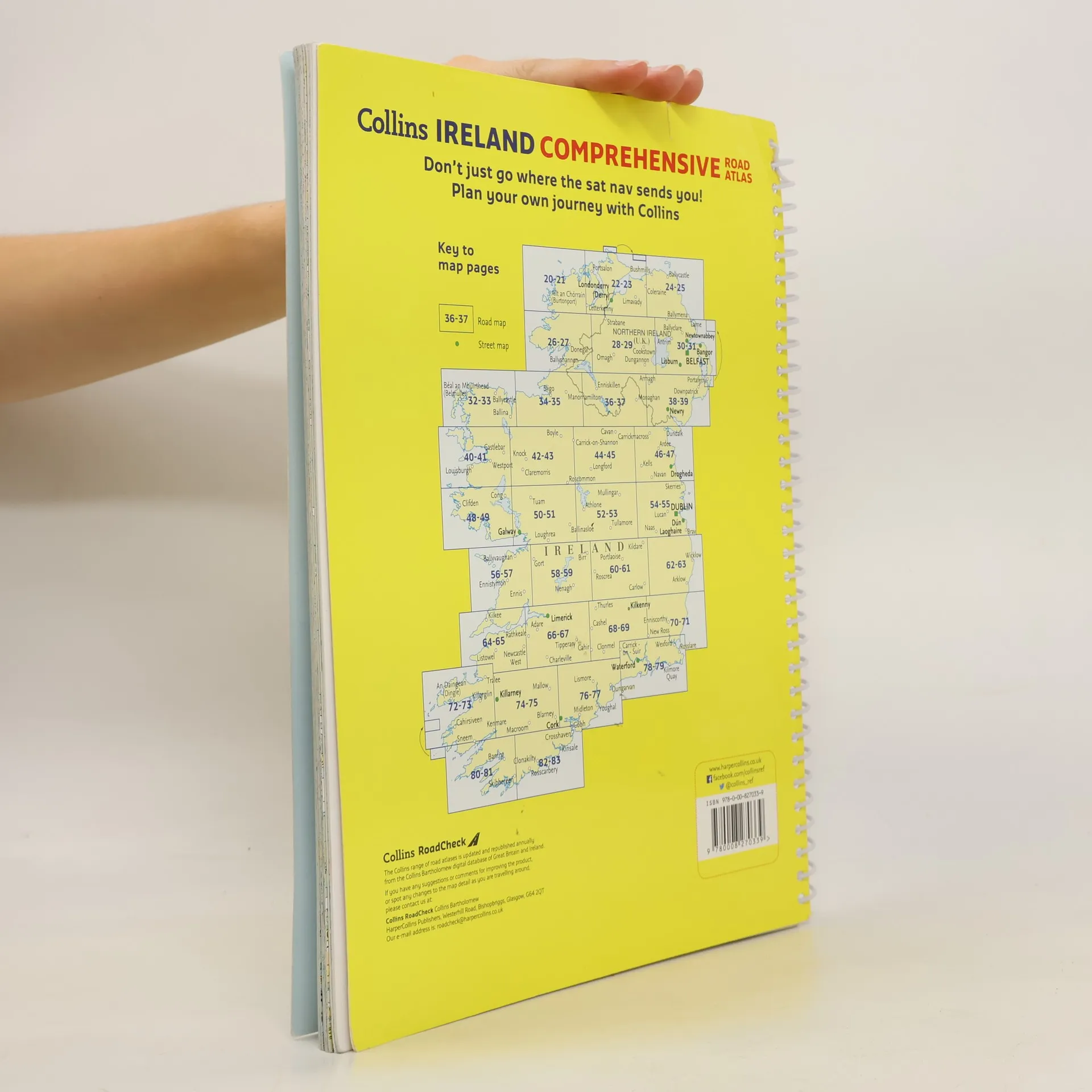
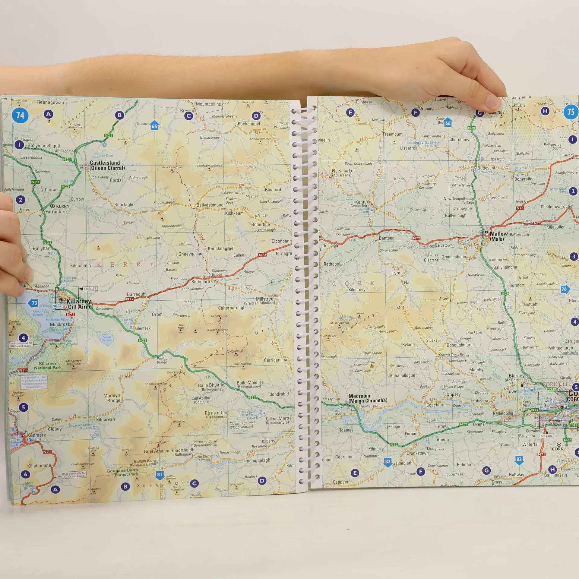
This comprehensive, general purpose road atlas of the whole of Ireland is ideal for both business and pleasure use. The atlas contains a range of mapping scales: a 9 miles to 1 inch route planning map; main maps at 3.2 miles to 1 inch, which are ideal for navigation; and a wide selection of detailed town center street plans. This edition boasts road mapping packed with detail, showing color classified road network, toll roads, land heights, the location of safety cameras, Blue Flag and Green Coast beaches, tourist information centers and a wide range of tourist attractions. There is also comprehensive guide information for visitors to Belfast, Cork, Dublin and Limerick. The locations of Speed Enforcement Zones, which highlight roads that have a high risk of accidents as identified by the Garda and the National Roads Authority, are included. There is also a wide range of fully indexed town and city center maps. These are: Bangor, Belfast, Cork, Drogheda, Dublin, D n Laoghaire, Galway, Kilkenny, Killarney, Limerick, Lisburn, Londonderry (Derry), Newry, Newtownabbey and Waterford.
Zakup książki
Comprehensive Road Atlas Ireland, kolektiv
- Język

- Rok wydania
- 2018
- Oprawa
- (spiralna)
Metody płatności
Brakuje nam tutaj Twojej recenzji.
- Tytuł
- Comprehensive Road Atlas Ireland
- Język
- angielski
- Autorzy
- kolektiv
- Wydawca
- Collins
- Rok wydania
- 2018
- Oprawa
- spiralna
- Liczba stron
- 160
- ISBN10
- 0008270333
- ISBN13
- 9780008270339
- Seria
- Kategorie
- Tagi
- Podróże
- Ocena
- 4,1 z 5
- Opis
- This comprehensive, general purpose road atlas of the whole of Ireland is ideal for both business and pleasure use. The atlas contains a range of mapping scales: a 9 miles to 1 inch route planning map; main maps at 3.2 miles to 1 inch, which are ideal for navigation; and a wide selection of detailed town center street plans. This edition boasts road mapping packed with detail, showing color classified road network, toll roads, land heights, the location of safety cameras, Blue Flag and Green Coast beaches, tourist information centers and a wide range of tourist attractions. There is also comprehensive guide information for visitors to Belfast, Cork, Dublin and Limerick. The locations of Speed Enforcement Zones, which highlight roads that have a high risk of accidents as identified by the Garda and the National Roads Authority, are included. There is also a wide range of fully indexed town and city center maps. These are: Bangor, Belfast, Cork, Drogheda, Dublin, D n Laoghaire, Galway, Kilkenny, Killarney, Limerick, Lisburn, Londonderry (Derry), Newry, Newtownabbey and Waterford.