

Więcej o książce
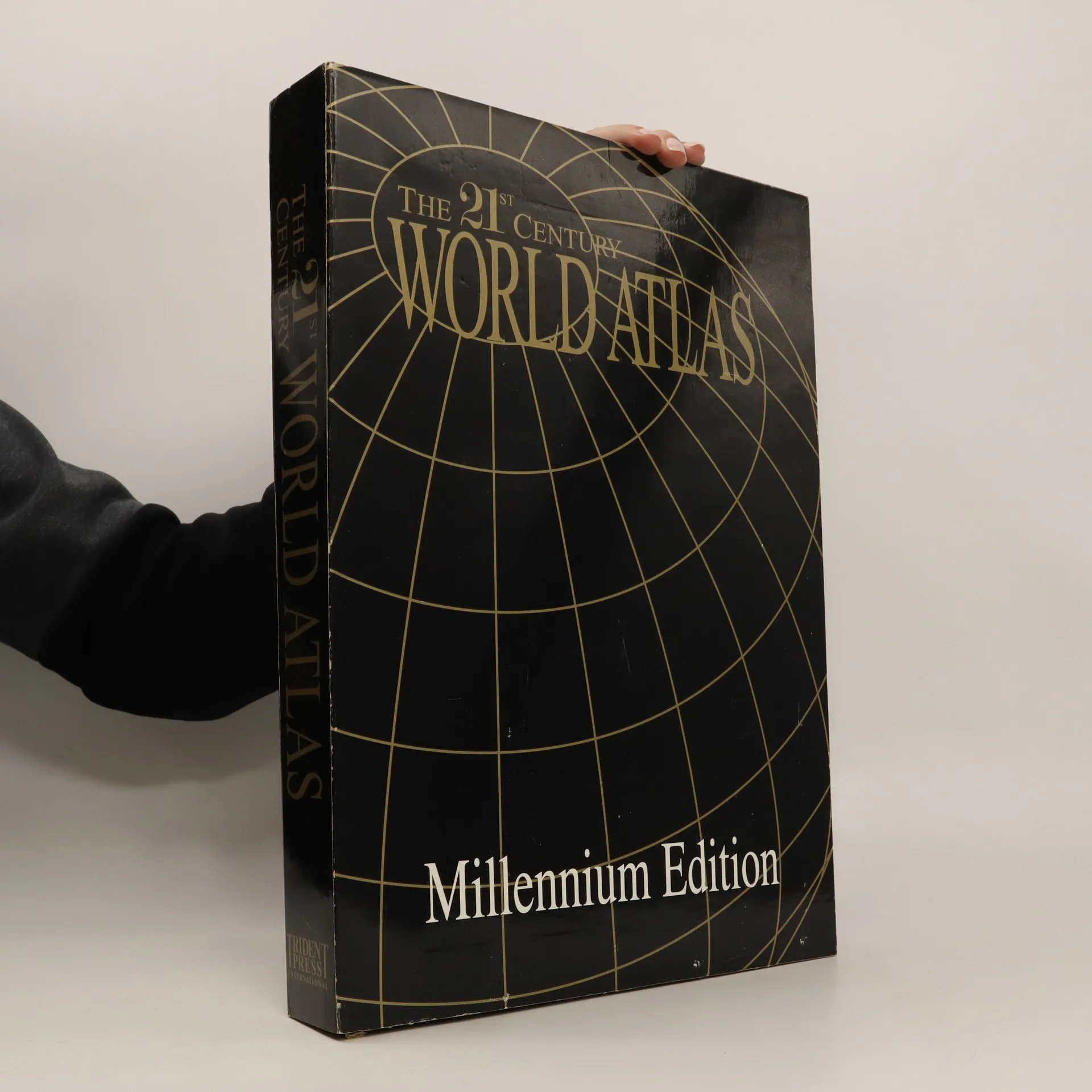
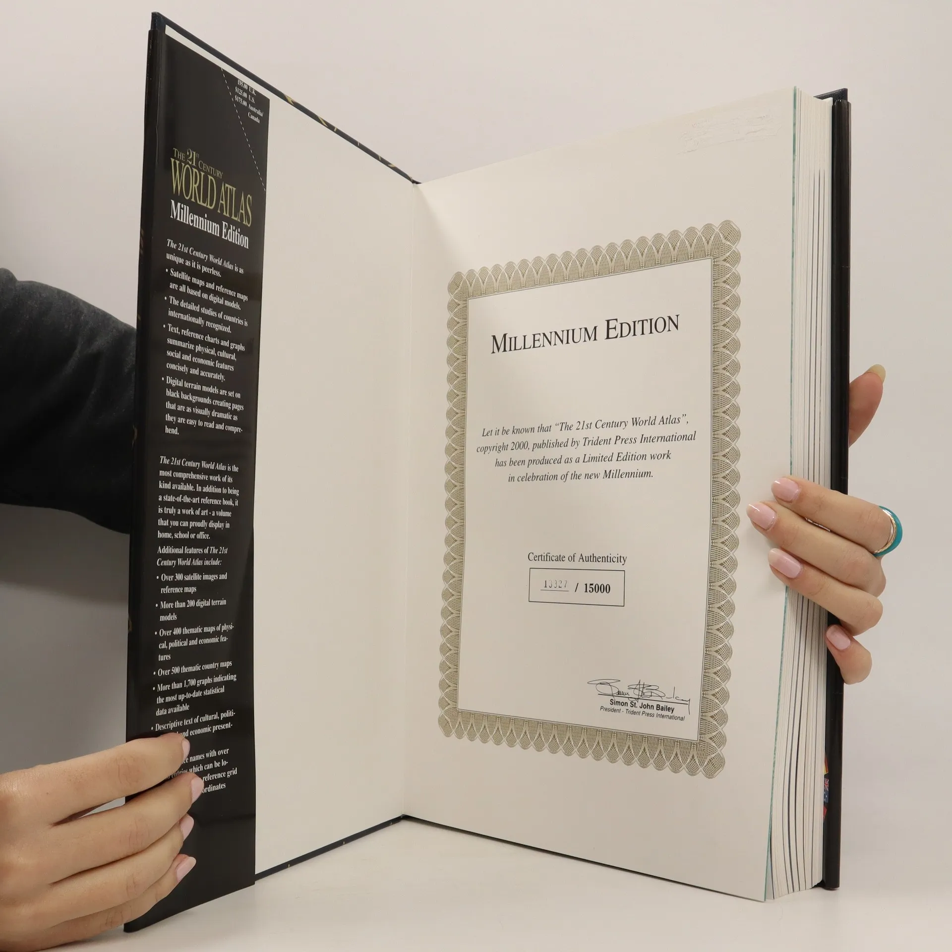
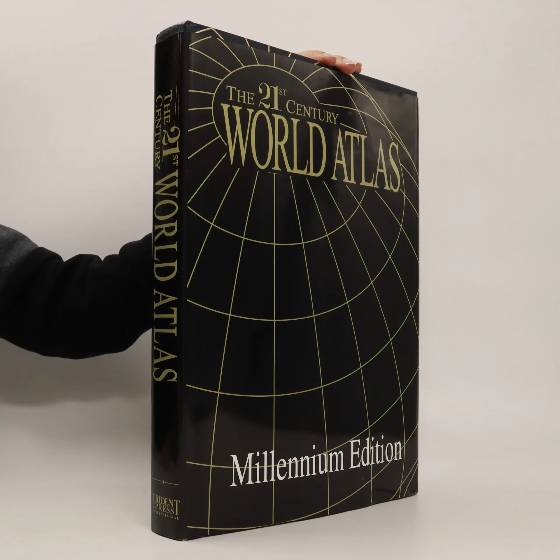
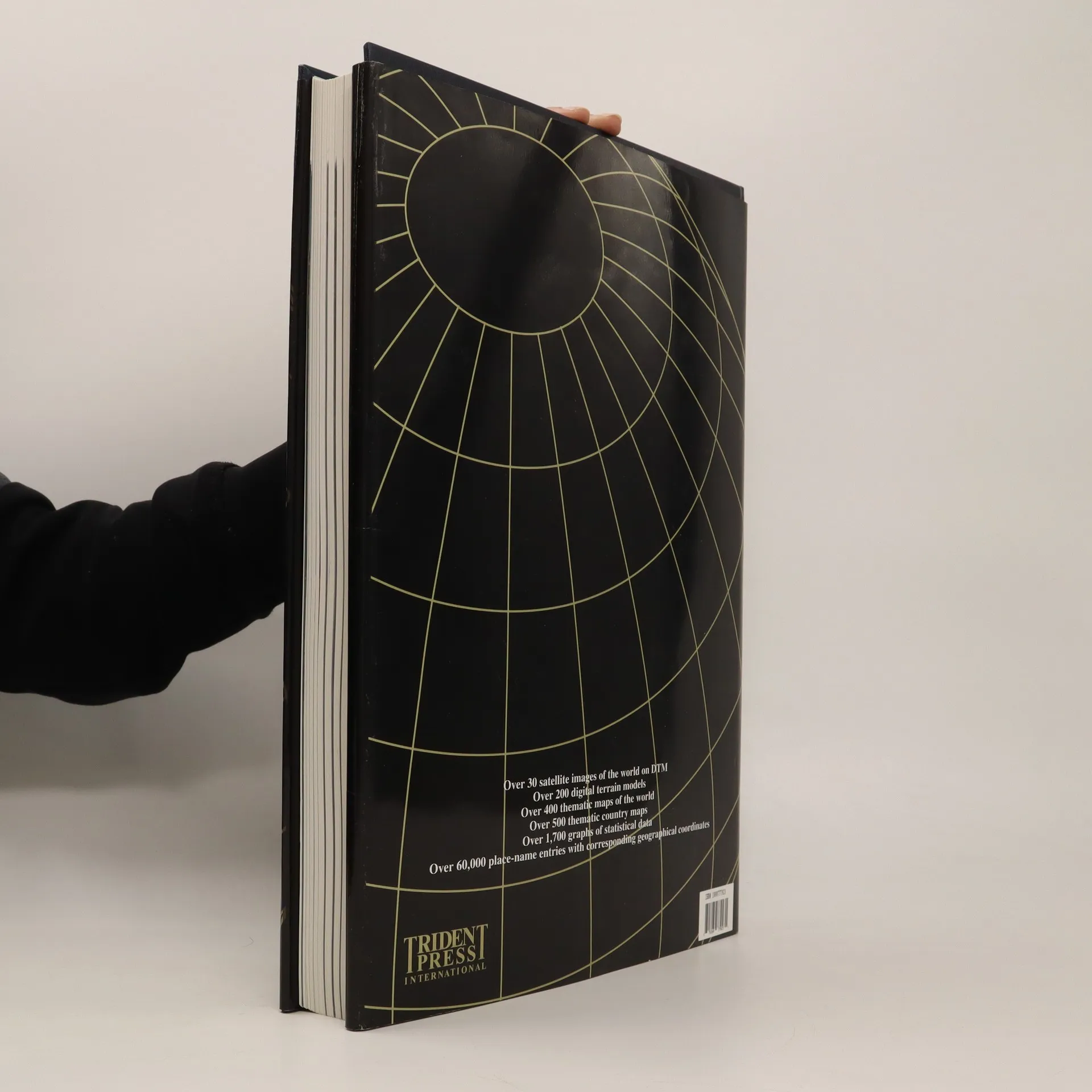
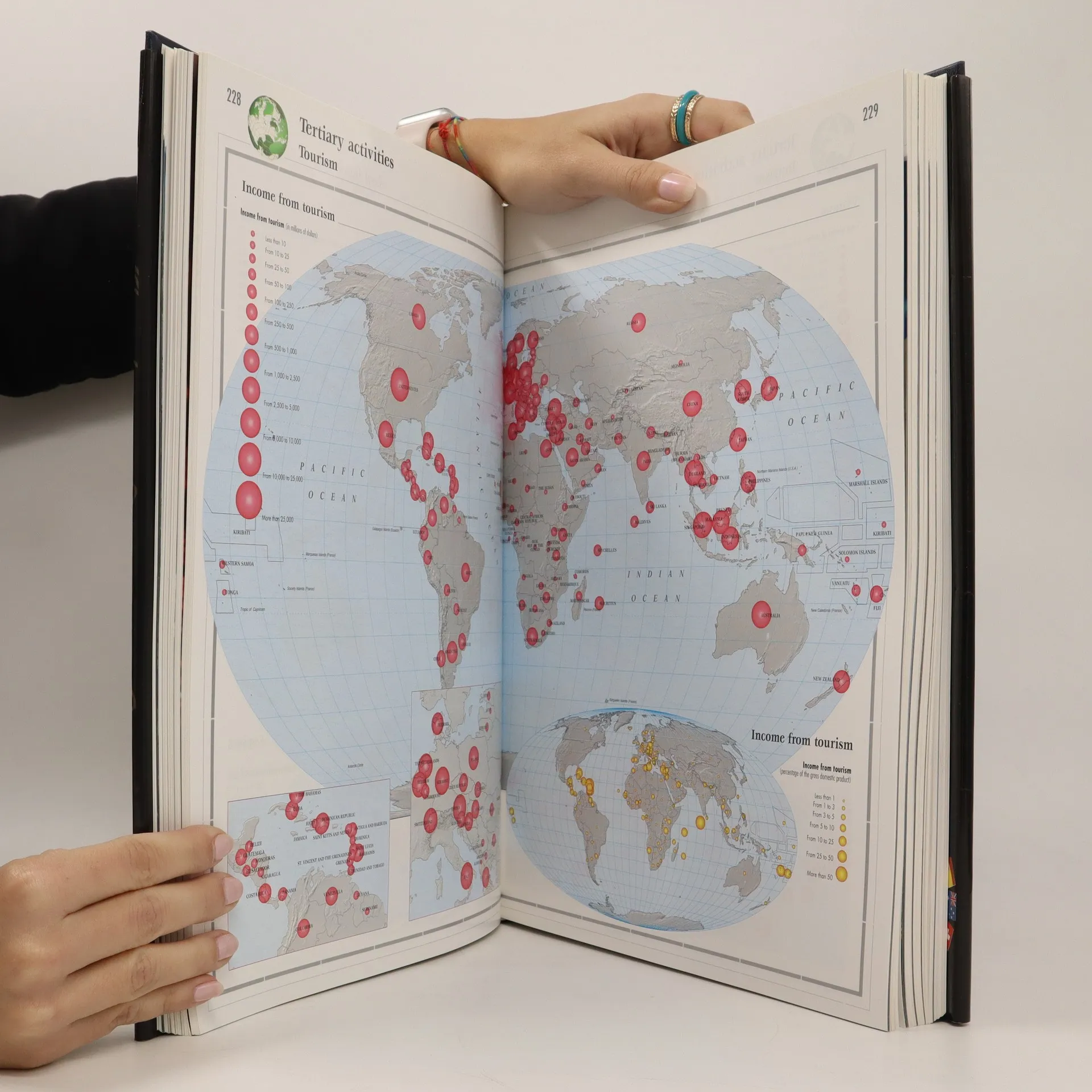
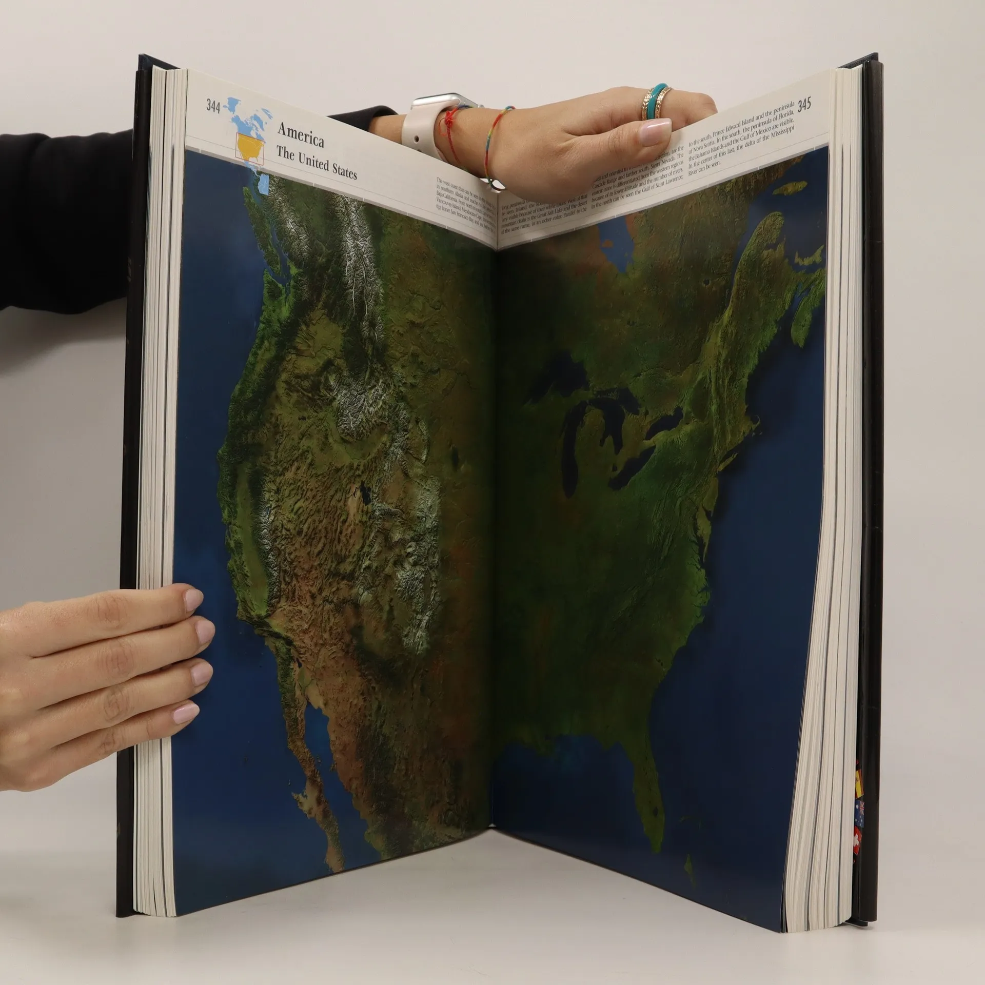
Satellite images on a uniform scale of 1:10,000,000 Lambert Conformal Conic projection Reference maps based on digital models on a scale of 1:10,000,000 except Europe, The United States of America and Japan shown on a scale of 1:5,000,000 Thematic world maps with the most up-to-date statistical data The models of the sea floor generated by data-processing treatment of bathymetric contour lines make possible the virtual reconstruction of submarine relief. The result is a spectacularly accurate view of the ocean floors in which the continental plates and subduction zones are clearly visible. A practical, accurate, precise, up-to-date atlas Satellite images and reference maps based on digital models Thematic maps of physical, political and economic features of each country Graphs showing the most up-to-date statistical data Descriptive texts of cultural, political, social and economic present-day situations Index of place-names with more than 30,000 entries, which can be located by means of a re ference grid and geographical coordinates
Zakup książki
The 21st century world atlas (číslovaný výtisk), kolektiv
- Język

- Rok wydania
- 2000
- Oprawa
- (twarda)
Metody płatności
Nikt jeszcze nie ocenił.
- Tytuł
- The 21st century world atlas (číslovaný výtisk)
- Język
- angielski
- Autorzy
- kolektiv
- Wydawca
- Trident Press
- Rok wydania
- 2000
- Oprawa
- twarda
- Liczba stron
- 752
- ISBN10
- 1888777923
- ISBN13
- 9781888777925
- Seria
- Kategorie
- Tagi
- Poradniki
- Opis
- Satellite images on a uniform scale of 1:10,000,000 Lambert Conformal Conic projection Reference maps based on digital models on a scale of 1:10,000,000 except Europe, The United States of America and Japan shown on a scale of 1:5,000,000 Thematic world maps with the most up-to-date statistical data The models of the sea floor generated by data-processing treatment of bathymetric contour lines make possible the virtual reconstruction of submarine relief. The result is a spectacularly accurate view of the ocean floors in which the continental plates and subduction zones are clearly visible. A practical, accurate, precise, up-to-date atlas Satellite images and reference maps based on digital models Thematic maps of physical, political and economic features of each country Graphs showing the most up-to-date statistical data Descriptive texts of cultural, political, social and economic present-day situations Index of place-names with more than 30,000 entries, which can be located by means of a re ference grid and geographical coordinates