

Wyprzedane, ale poszukiwane!

Więcej o książce
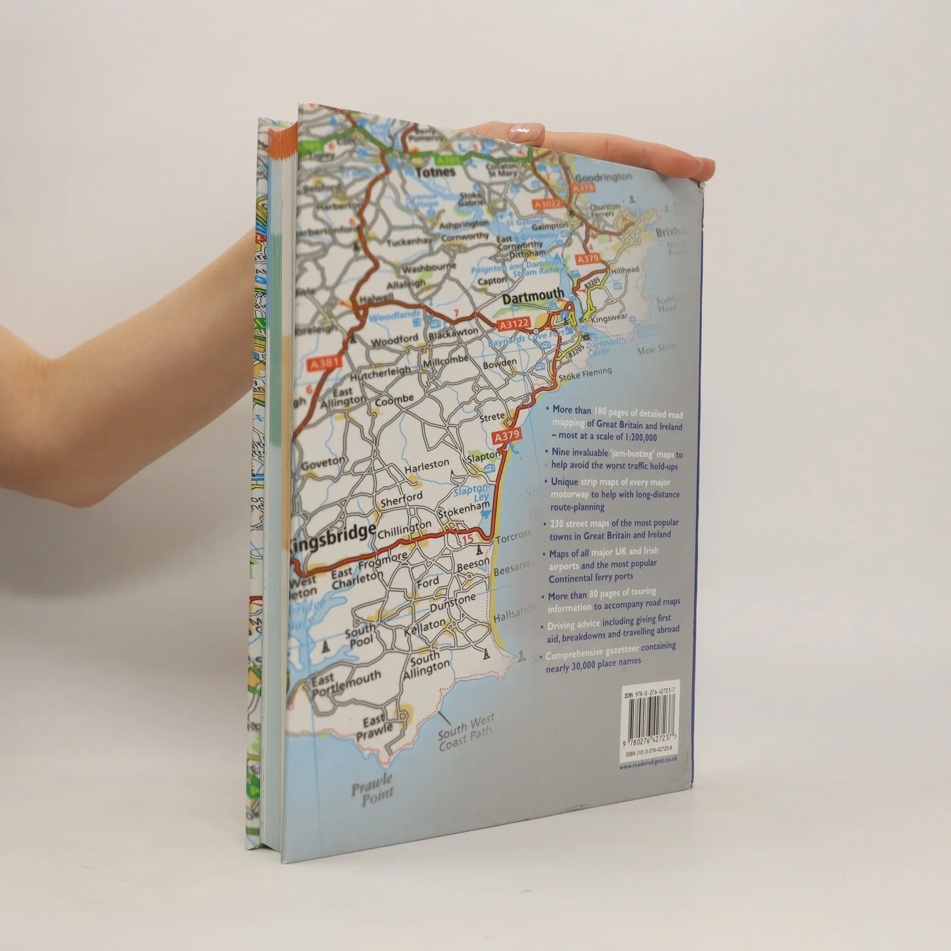
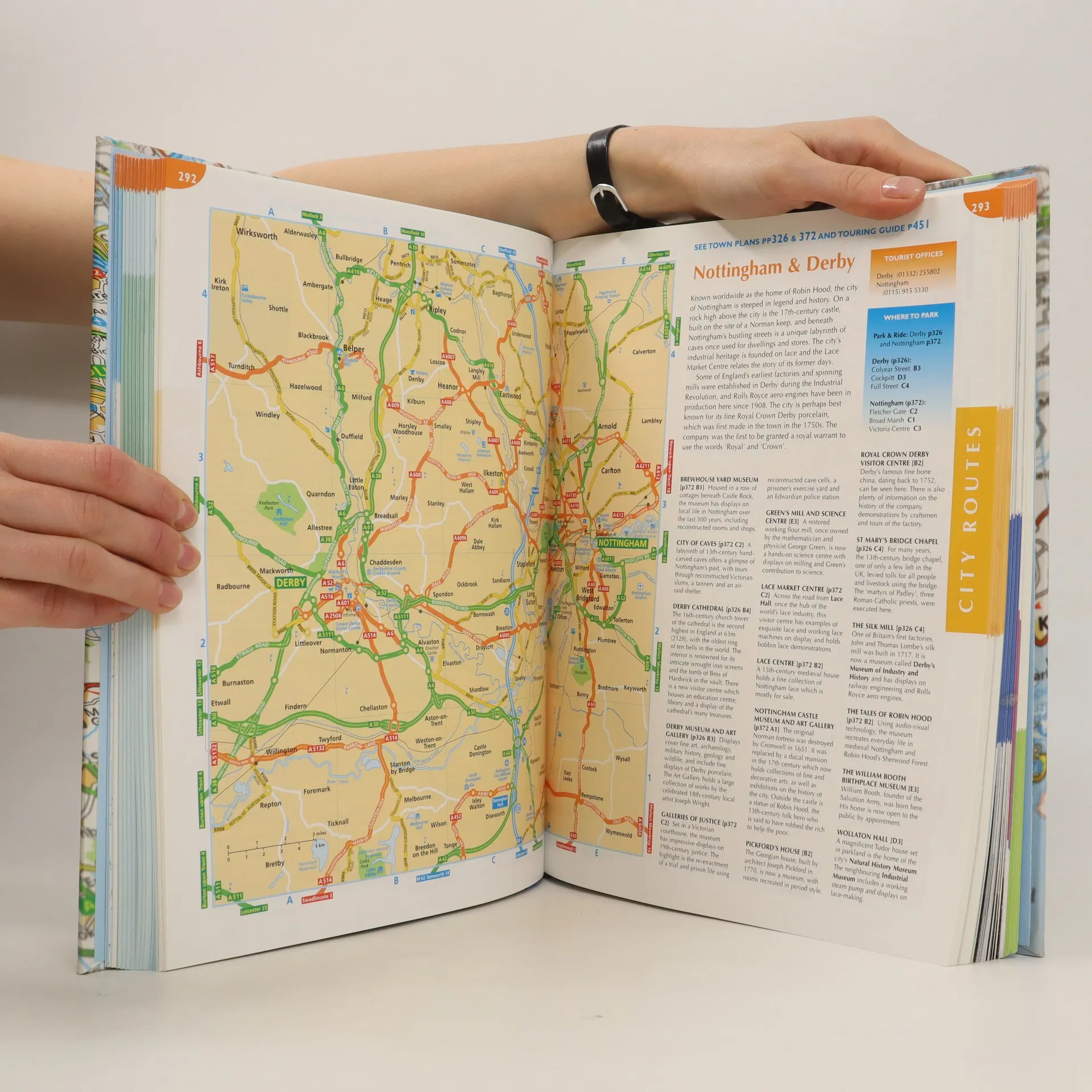
This atlas covers all of Britain and Ireland with the area around Calais and Boulogne as well. It shows motorways, primary routes, A-roads, B-roads, lanes and backroads. There are also plans of cities, towns (with park and ride schemes), airports, ferry ports, and extra-large-scale city route finders.
Zakup książki
The complete driver's atlas of Britain and Ireland, kolektiv
- Język

- Rok wydania
- 2007
- Oprawa
- (twarda)
Jak tylko się pojawi, wyślemy Ci wiadomość e-mail.
Metody płatności
Brakuje nam tutaj Twojej recenzji.
- Tytuł
- The complete driver's atlas of Britain and Ireland
- Język
- angielski
- Autorzy
- kolektiv
- Wydawca
- Reader's Digest
- Rok wydania
- 2007
- Oprawa
- twarda
- Liczba stron
- 568
- ISBN10
- 0276427238
- ISBN13
- 9780276427237
- Seria
- Tagi
- Ocena
- 4,35 z 5
- Opis
- This atlas covers all of Britain and Ireland with the area around Calais and Boulogne as well. It shows motorways, primary routes, A-roads, B-roads, lanes and backroads. There are also plans of cities, towns (with park and ride schemes), airports, ferry ports, and extra-large-scale city route finders.