

Więcej o książce
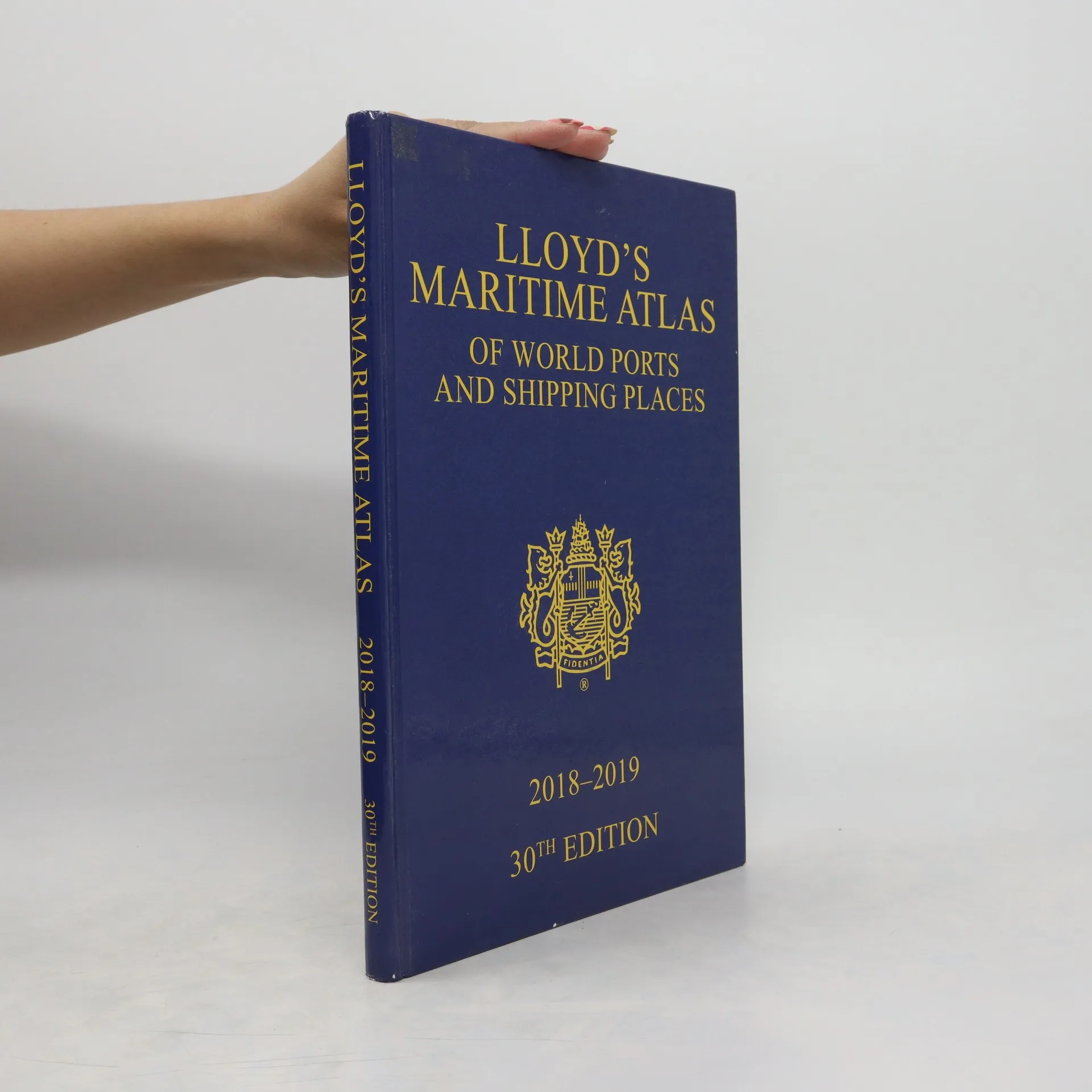
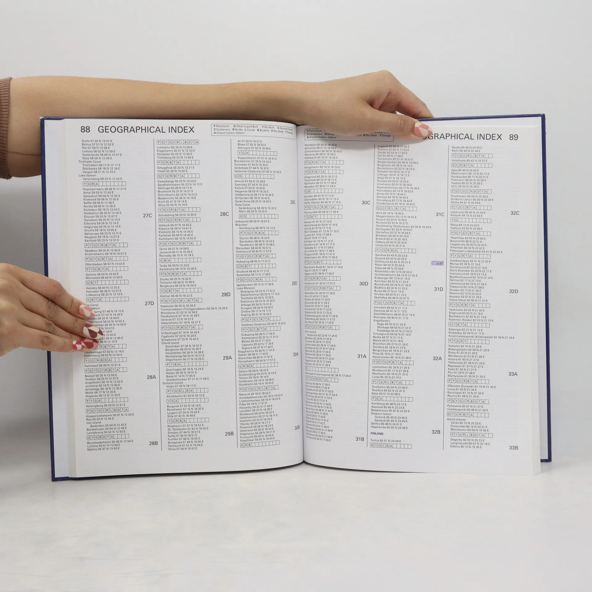
"A comprehensive reference for locating the world's busiest ports and shipping places, this new edition has been fully updated and enhanced with brand new maps and features to alleviate the demands on today's busy shipping professional. In the 2018-2019 edition: Fully up-to-date with the latest port names and locations; World map indicating where MARPOL, SECA and PSSA regulations are in force; Double page spread revealing piracy hotspots and detailed analyses of routes to avoid; World map of vaccinations required to protect against major global diseases; Up-to-the-minute Marine Distance Tables and fleet statistics. In addition, Lloyd's Maritime Atlas continues to provide: Precise latitude and longitude co-ordinates of over 8,000 ports and shipping places from around the world; Over 70 full-colour world, ocean and regional maps; At-a-glance weather hazards at sea and international load line zones maps; Expansive double-page world distance table plus 33 detailed regional tables to help you plan your route; Unique geographical and alphabetical indexing system to help you quickly and easily find a location; Free CD-ROM including piracy hotspots, search and rescue centres, and petroleum/bunker ports; All major canal and river systems, plus main road, rail and airport connections to cater for multi-modal journeys"--Page i.
Zakup książki
Lloyd’s Maritime Atlas of World Ports and Shipping Places, kolektiv
- Język

- Rok wydania
- 2017
- Oprawa
- (twarda)
Metody płatności
Nikt jeszcze nie ocenił.
- Tytuł
- Lloyd’s Maritime Atlas of World Ports and Shipping Places
- Język
- angielski
- Autorzy
- kolektiv
- Rok wydania
- 2017
- Oprawa
- twarda
- Liczba stron
- 178
- ISBN10
- 1138049239
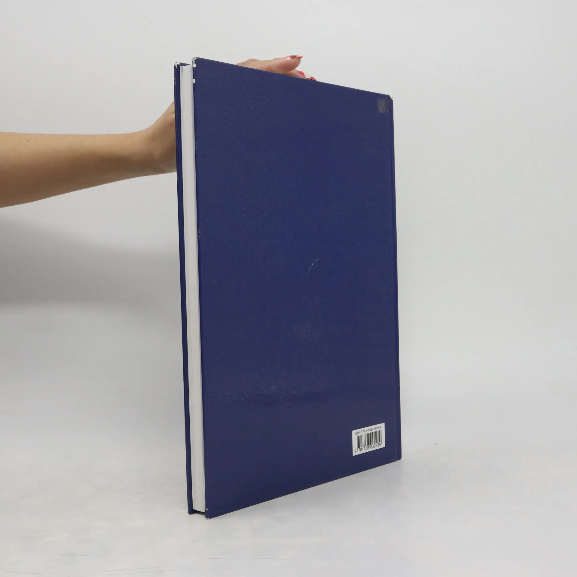
- ISBN13
- 9781138049239
- Seria
- Tagi
- Opis
- "A comprehensive reference for locating the world's busiest ports and shipping places, this new edition has been fully updated and enhanced with brand new maps and features to alleviate the demands on today's busy shipping professional. In the 2018-2019 edition: Fully up-to-date with the latest port names and locations; World map indicating where MARPOL, SECA and PSSA regulations are in force; Double page spread revealing piracy hotspots and detailed analyses of routes to avoid; World map of vaccinations required to protect against major global diseases; Up-to-the-minute Marine Distance Tables and fleet statistics. In addition, Lloyd's Maritime Atlas continues to provide: Precise latitude and longitude co-ordinates of over 8,000 ports and shipping places from around the world; Over 70 full-colour world, ocean and regional maps; At-a-glance weather hazards at sea and international load line zones maps; Expansive double-page world distance table plus 33 detailed regional tables to help you plan your route; Unique geographical and alphabetical indexing system to help you quickly and easily find a location; Free CD-ROM including piracy hotspots, search and rescue centres, and petroleum/bunker ports; All major canal and river systems, plus main road, rail and airport connections to cater for multi-modal journeys"--Page i.