

Więcej o książce
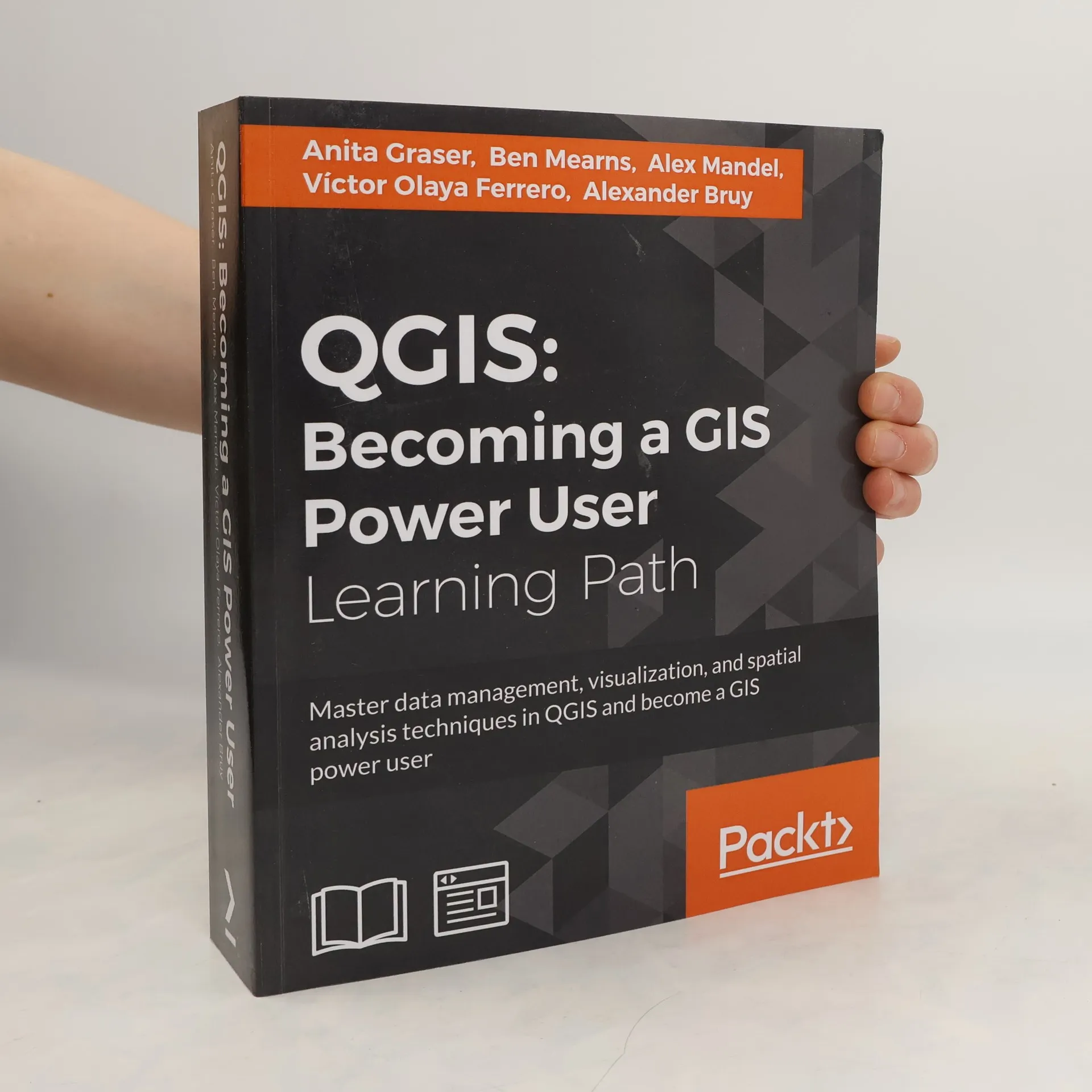
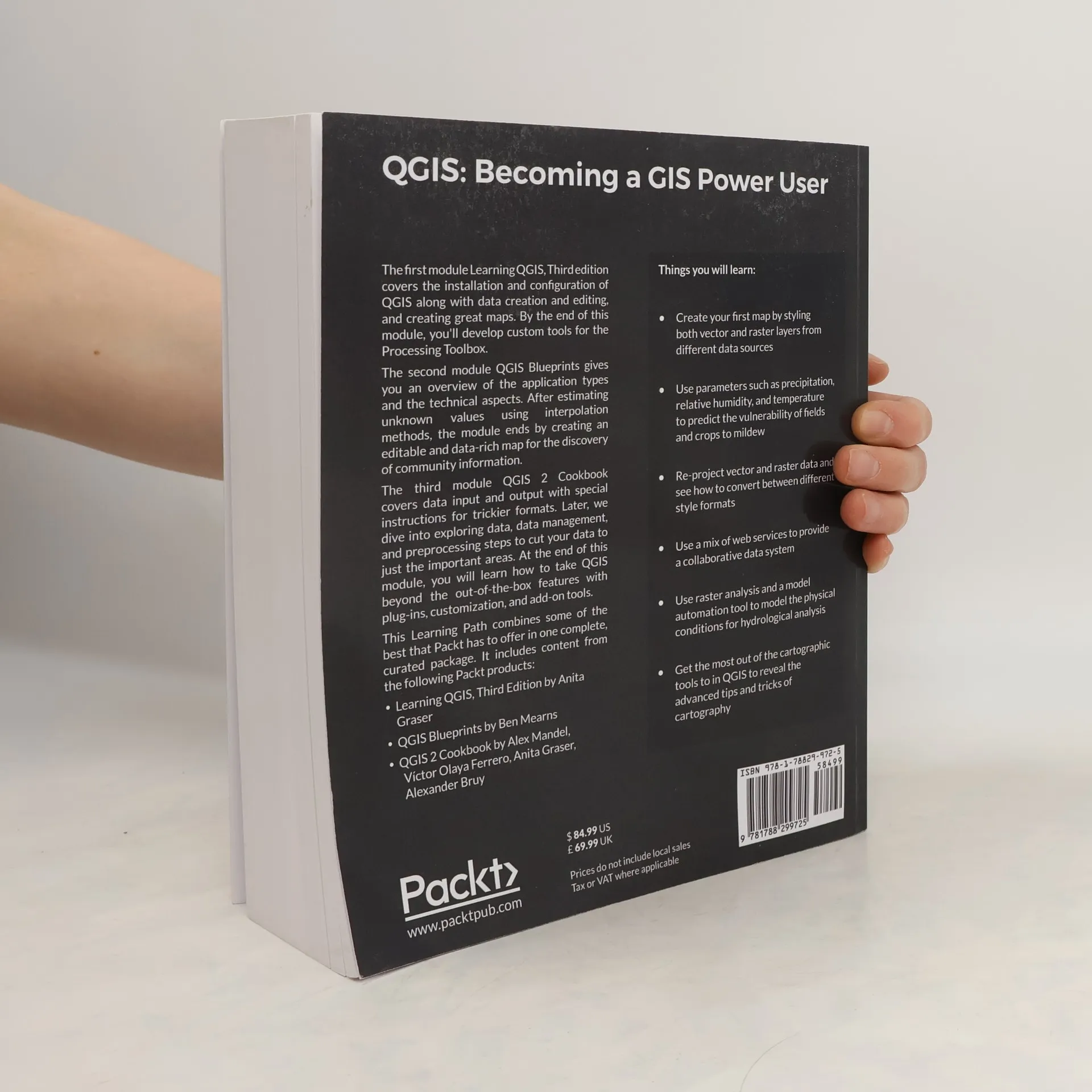
Master data management, visualization, and spatial analysis techniques in QGIS and become a GIS power user. This practical guide helps you work with various data types to create professional-looking maps that enhance both functionality and aesthetics. It builds on geo-spatial data and introduces more interactive maps using geometry tools. This resource is ideal for users, developers, or consultants familiar with core GIS concepts who seek to leverage QGIS for advanced results. It will elevate your GIS skills by teaching you to develop complex, layered map applications. You will learn to create your first map by styling vector and raster layers from diverse data sources, predict crop vulnerability using parameters like precipitation and temperature, and re-project data while converting between style formats. The guide also covers using web services for collaborative data systems, conducting raster analysis for hydrological modeling, and mastering advanced cartographic tools in QGIS. The first module focuses on installing and configuring QGIS, mastering data creation and editing, and extending QGIS with Python for custom tool development. The second module provides an overview of application types and technical aspects, culminating in creating a data-rich map for community information. The third module addresses data input and output, including handling tricky formats, exploring data management, and preprocessing steps to fo
Zakup książki
QGIS. Becoming a GIS Power User. Learning Path, kolektiv
- Język

- Rok wydania
- 2017
- Oprawa
- (miękka)
Metody płatności
Brakuje nam tutaj Twojej recenzji.
- Tytuł
- QGIS. Becoming a GIS Power User. Learning Path
- Język
- angielski
- Autorzy
- kolektiv
- Wydawca
- Packt Publishing
- Rok wydania
- 2017
- Oprawa
- miękka
- Liczba stron
- 818
- ISBN10
- 1788299728
- ISBN13
- 9781788299725
- Seria
- Tagi
- Ocena
- 1 z 5
- Opis
- Master data management, visualization, and spatial analysis techniques in QGIS and become a GIS power user. This practical guide helps you work with various data types to create professional-looking maps that enhance both functionality and aesthetics. It builds on geo-spatial data and introduces more interactive maps using geometry tools. This resource is ideal for users, developers, or consultants familiar with core GIS concepts who seek to leverage QGIS for advanced results. It will elevate your GIS skills by teaching you to develop complex, layered map applications. You will learn to create your first map by styling vector and raster layers from diverse data sources, predict crop vulnerability using parameters like precipitation and temperature, and re-project data while converting between style formats. The guide also covers using web services for collaborative data systems, conducting raster analysis for hydrological modeling, and mastering advanced cartographic tools in QGIS. The first module focuses on installing and configuring QGIS, mastering data creation and editing, and extending QGIS with Python for custom tool development. The second module provides an overview of application types and technical aspects, culminating in creating a data-rich map for community information. The third module addresses data input and output, including handling tricky formats, exploring data management, and preprocessing steps to fo