

Więcej o książce
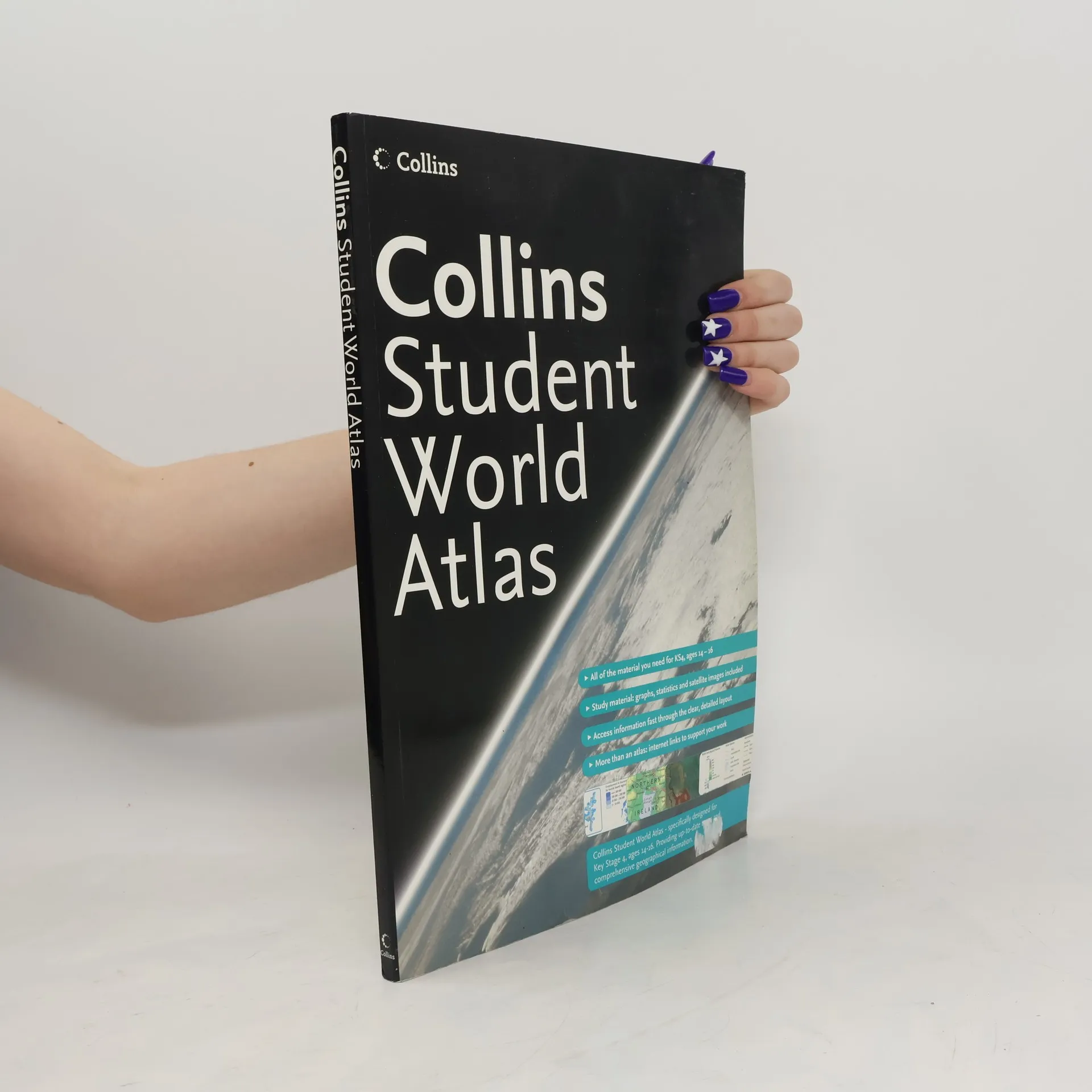
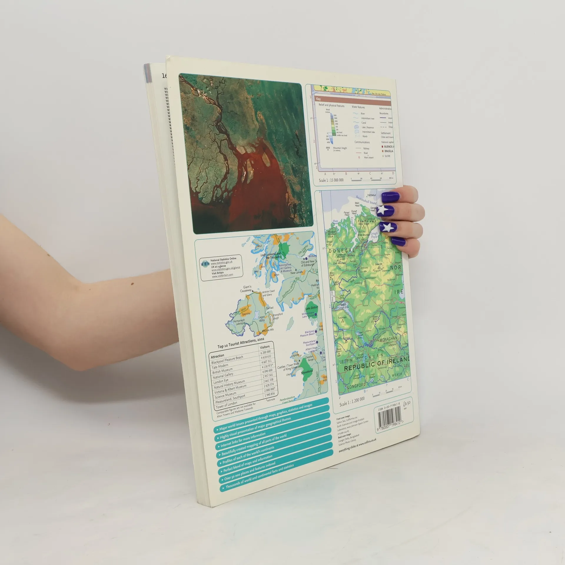
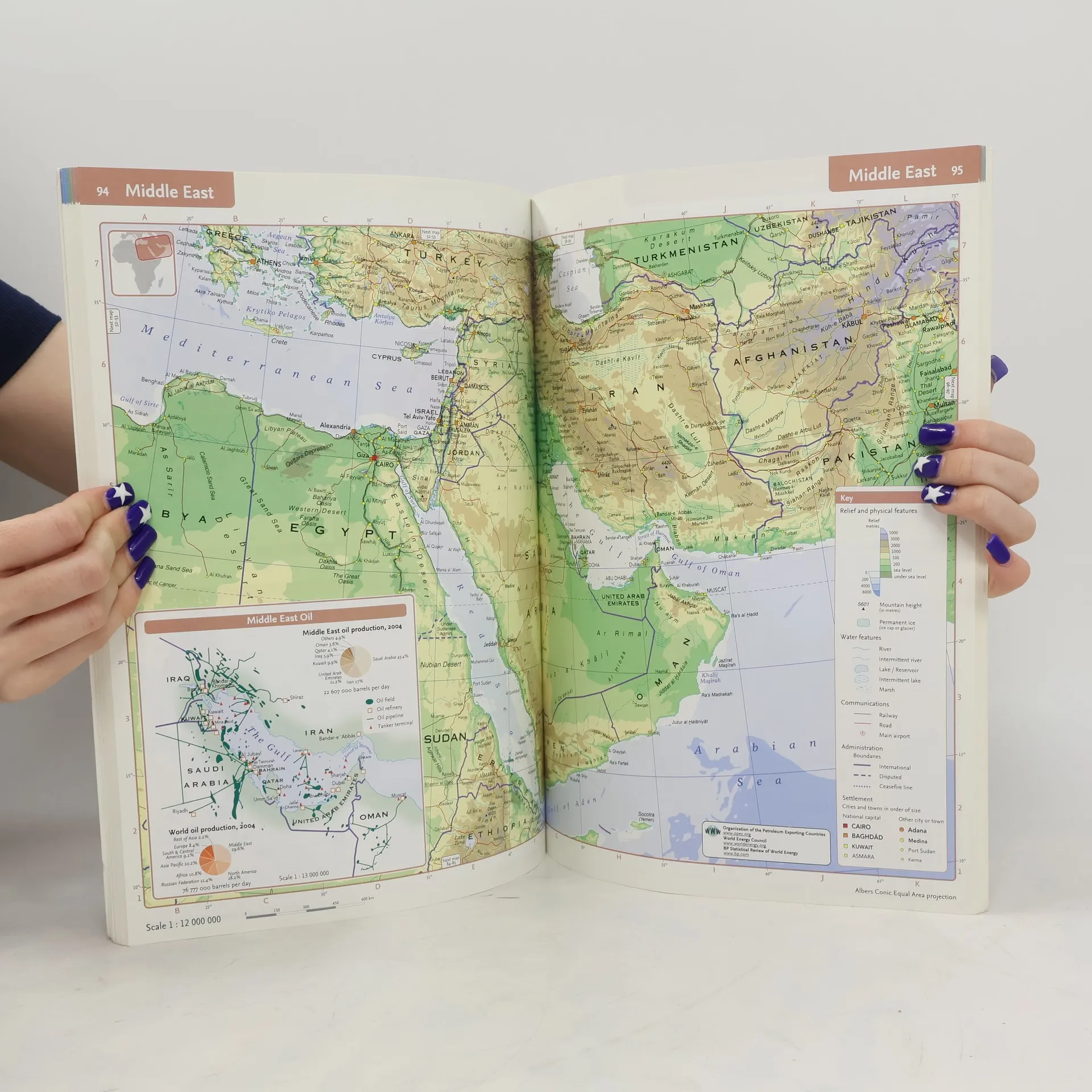
Completely new edition and rebranded edition of the best-selling Collins Longman Student Atlas. Perfectly created for Key Stage 4 students and a vital tool for all students. Collins Student Atlas is a completely new edition of the highly successful Collins Longman Student Atlas. It features 128 pages of up-to-date reference and thematic mapping, 8 pages of World country-by-country statistics and a fully comprehensive index to all names appearing on the reference maps. The Atlas has been specifically designed for students aged 14 to 16, however its well-researched uncluttered design makes it easy for all student use. This new edition features extended map coverage on each page and colour coding has been introduced in the titling and marginalia to create distinct, easy to use sections. Thematic maps and accompanying graphs and tables adhere strictly to the National curriculum and cover topics such as tourism, telecommunications, environmental and socio-economic topics. All maps have been fully up-dated using the latest statistical information available. The inclusion of a list of relevant web addresses on each thematic page ensures students are motivated to explore more deeply into a
Zakup książki
Collins Student World Atlas, kolektiv
- Język

- Rok wydania
- 2005
- Oprawa
- (miękka)
Metody płatności
Nikt jeszcze nie ocenił.
- Tytuł
- Collins Student World Atlas
- Język
- angielski
- Autorzy
- kolektiv
- Wydawca
- Collins
- Rok wydania
- 2005
- Oprawa
- miękka
- Liczba stron
- 168
- ISBN10
- 0007198418
- ISBN13
- 9780007198412
- Seria
- Tagi
- Opis
- Completely new edition and rebranded edition of the best-selling Collins Longman Student Atlas. Perfectly created for Key Stage 4 students and a vital tool for all students. Collins Student Atlas is a completely new edition of the highly successful Collins Longman Student Atlas. It features 128 pages of up-to-date reference and thematic mapping, 8 pages of World country-by-country statistics and a fully comprehensive index to all names appearing on the reference maps. The Atlas has been specifically designed for students aged 14 to 16, however its well-researched uncluttered design makes it easy for all student use. This new edition features extended map coverage on each page and colour coding has been introduced in the titling and marginalia to create distinct, easy to use sections. Thematic maps and accompanying graphs and tables adhere strictly to the National curriculum and cover topics such as tourism, telecommunications, environmental and socio-economic topics. All maps have been fully up-dated using the latest statistical information available. The inclusion of a list of relevant web addresses on each thematic page ensures students are motivated to explore more deeply into a