


Więcej o książce
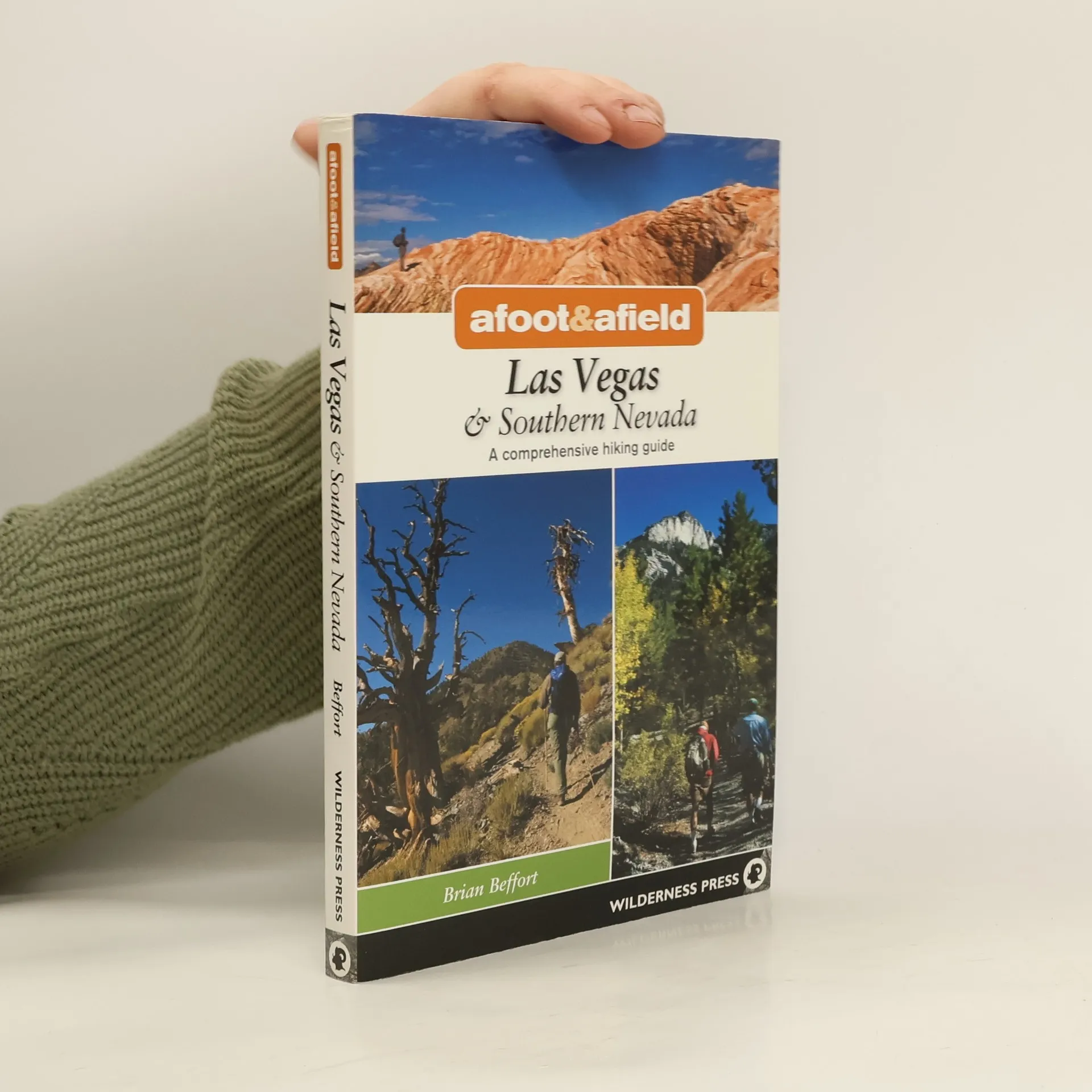
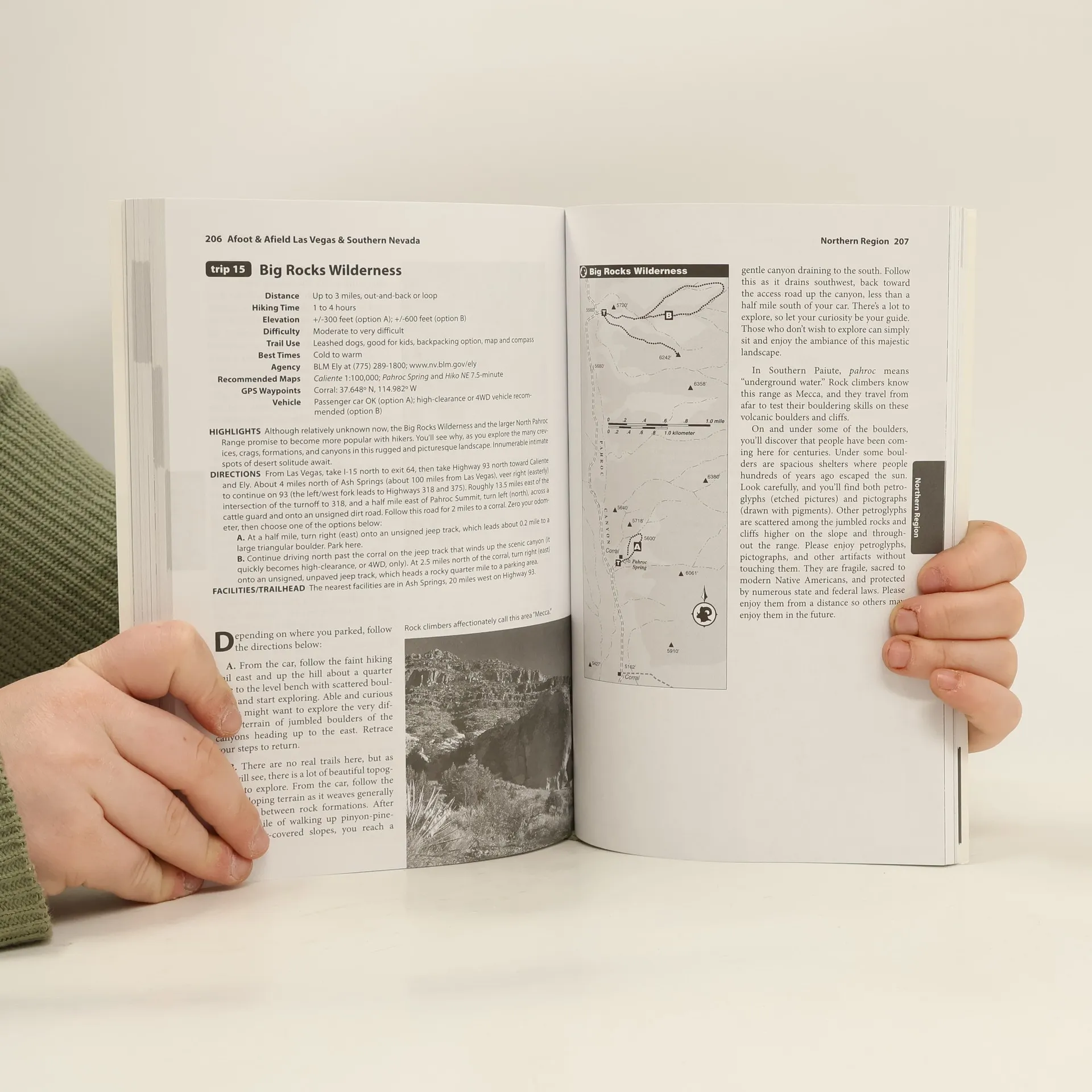
Beyond the bright lights of one of the city's fastest growing metropolitan areas is some of the most rugged, beautiful, and remote country around. Popular destinations such as Red Rock Canyon, Valley of Fire, Death Valley, and Mt. Charles are covered, plus lesser-known areas such as Anniversary Narrows, Arrow Canyon, Bowl of Fire, and the Wee Thump Joshua Tree Wilderness. Each trip showcases the diversity of this region, from the geological wonders and rare life forms surviving in Mojave National Preserve to ancient petroglyphs. The hikes range from easy strolls to challenging treks and include distance, time, elevation change, difficulty, and trail-use notes. A custom map accompanies every description, and GPS waypoints are given for key locations.
Zakup książki
Afoot and Afield. Las Vegas & Southern Nevada, Brian Beffort
- Język

- Rok wydania
- 2010
- Oprawa
- (miękka)
Metody płatności
Brakuje nam tutaj Twojej recenzji.
- Tytuł
- Afoot and Afield. Las Vegas & Southern Nevada
- Podtytuł
- A Comprehensive Hiking Guide
- Język
- angielski
- Autorzy
- Brian Beffort
- Wydawca
- Wilderness Press
- Rok wydania
- 2010
- Oprawa
- miękka
- Liczba stron
- 290
- ISBN10
- 0899976514
- ISBN13
- 9780899976518
- Seria
- Ocena
- 4,5 z 5
- Opis
- Beyond the bright lights of one of the city's fastest growing metropolitan areas is some of the most rugged, beautiful, and remote country around. Popular destinations such as Red Rock Canyon, Valley of Fire, Death Valley, and Mt. Charles are covered, plus lesser-known areas such as Anniversary Narrows, Arrow Canyon, Bowl of Fire, and the Wee Thump Joshua Tree Wilderness. Each trip showcases the diversity of this region, from the geological wonders and rare life forms surviving in Mojave National Preserve to ancient petroglyphs. The hikes range from easy strolls to challenging treks and include distance, time, elevation change, difficulty, and trail-use notes. A custom map accompanies every description, and GPS waypoints are given for key locations.