

Więcej o książce
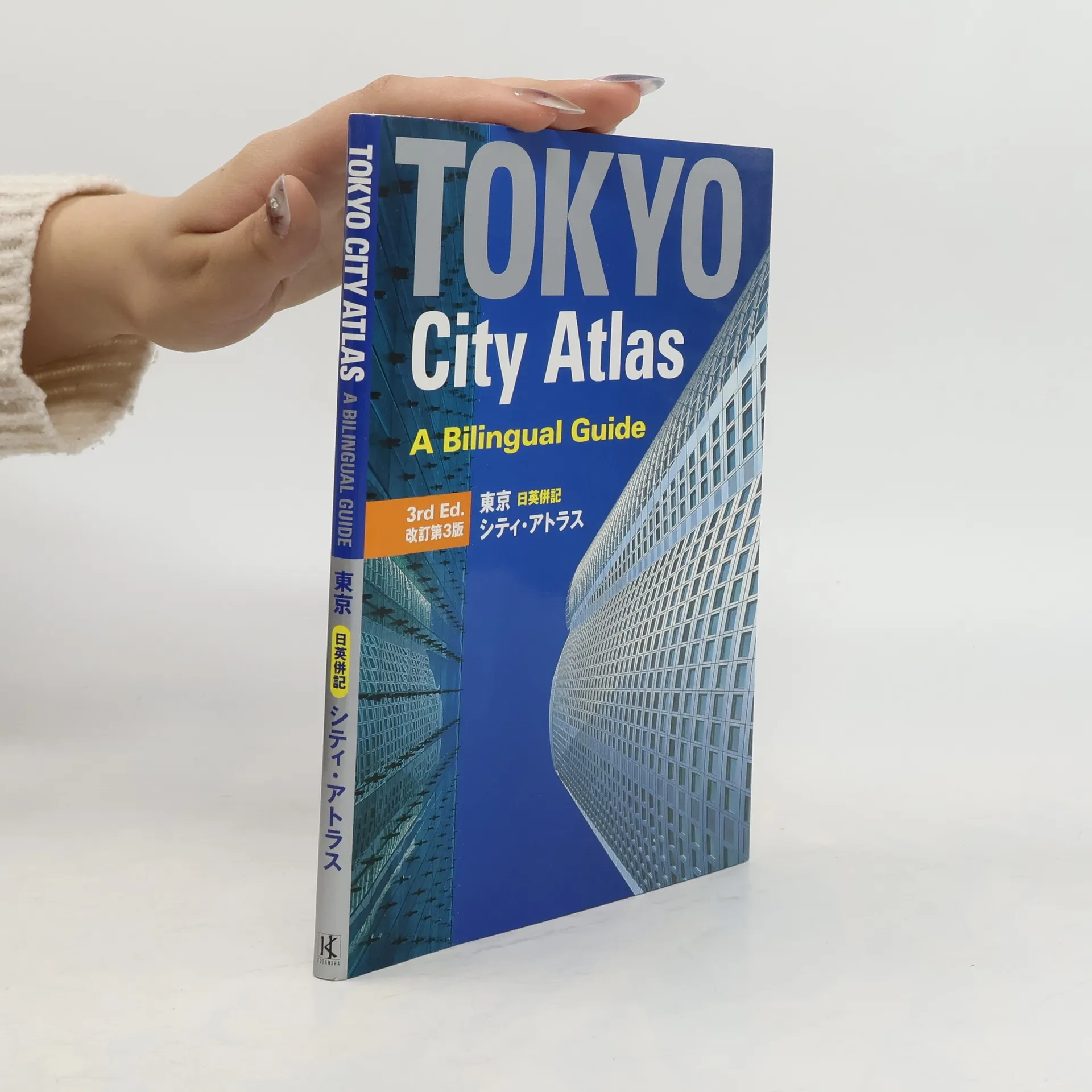
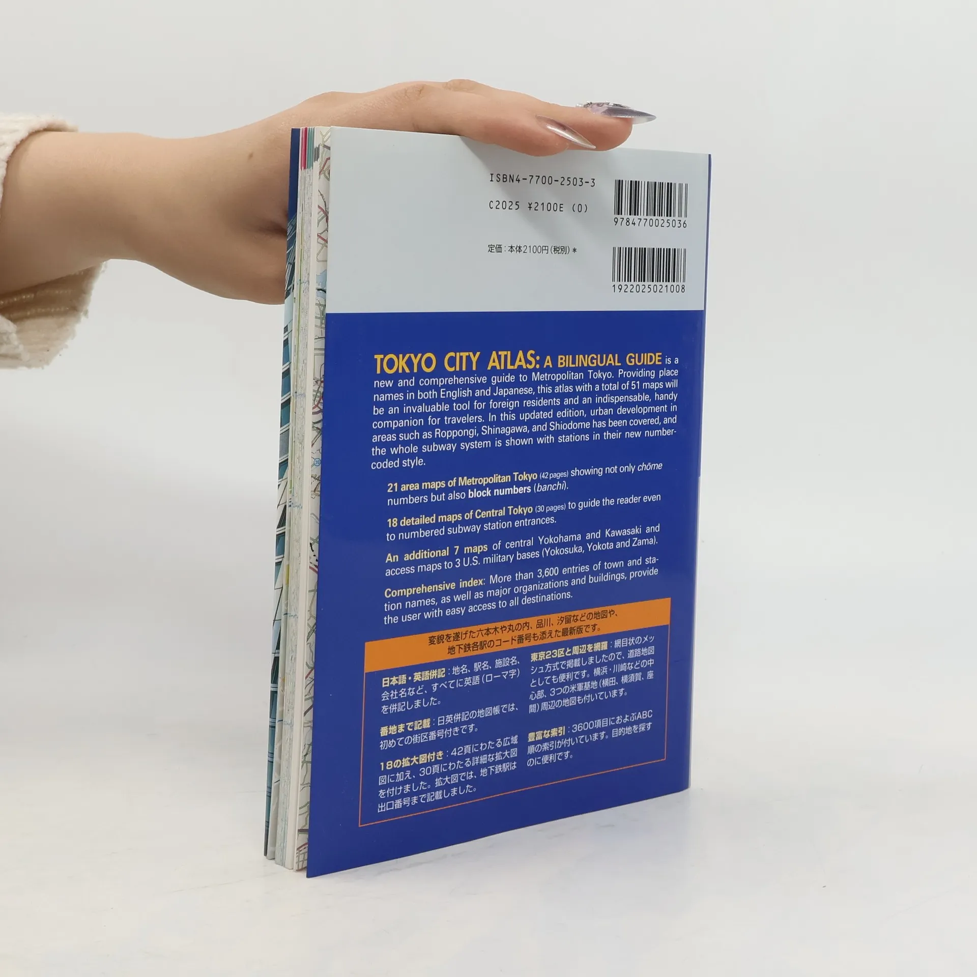
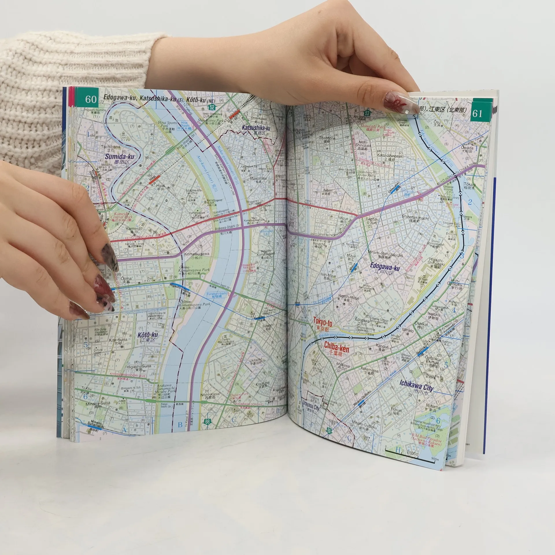
This is the updated third edition of an atlas first published in 1998. During the past six years, the transportation network of the metropolitan area of Tokyo has changed a good deal. In the case of the subway system, lines have been extended, and some rapid-transit lines have been added, so code numbers for each station are given in our atlas for foreign travelers to identify them easily. In addition, as a result of urban development in areas such as Roppongi, Shinagawa, and Shiodome, quite a few new company buildings, stores, and hotels have appeared. These developments are also covered in this updated edition. - 21 area maps of Metropolitan Tokyo (42 pages) showing not only chome numbers but also block numbers (banchi). - 18 detailed maps of Central Tokyo (30 pages) to guide the reader even to numbered subway station entrances. - An additional 7 maps of central Yokohama and Kawasaki and access maps to 3 U.S. military bases (Yokosuka, Yokota and Zama). - Comprehensive index: More than 3,600 entries of town and station names, as well as major organizations and buildings, provide the user with easy access to all destinations.
Zakup książki
Tokyo city atlas a bilingual guide, kolektiv
- Język

- Rok wydania
- 2004
- Oprawa
- (miękka)
Metody płatności
Brakuje nam tutaj Twojej recenzji.
- Tytuł
- Tokyo city atlas a bilingual guide
- Podtytuł
- A Bilingual Guide
- Język
- angielski
- Autorzy
- kolektiv
- Wydawca
- Kodansha International
- Rok wydania
- 2004
- Oprawa
- miękka
- Liczba stron
- 140
- ISBN10
- 4770025033
- ISBN13
- 9784770025036
- Seria
- Tagi
- Przewodniki, Tokio
- Ocena
- 4,45 z 5
- Opis
- This is the updated third edition of an atlas first published in 1998. During the past six years, the transportation network of the metropolitan area of Tokyo has changed a good deal. In the case of the subway system, lines have been extended, and some rapid-transit lines have been added, so code numbers for each station are given in our atlas for foreign travelers to identify them easily. In addition, as a result of urban development in areas such as Roppongi, Shinagawa, and Shiodome, quite a few new company buildings, stores, and hotels have appeared. These developments are also covered in this updated edition. - 21 area maps of Metropolitan Tokyo (42 pages) showing not only chome numbers but also block numbers (banchi). - 18 detailed maps of Central Tokyo (30 pages) to guide the reader even to numbered subway station entrances. - An additional 7 maps of central Yokohama and Kawasaki and access maps to 3 U.S. military bases (Yokosuka, Yokota and Zama). - Comprehensive index: More than 3,600 entries of town and station names, as well as major organizations and buildings, provide the user with easy access to all destinations.