


Więcej o książce
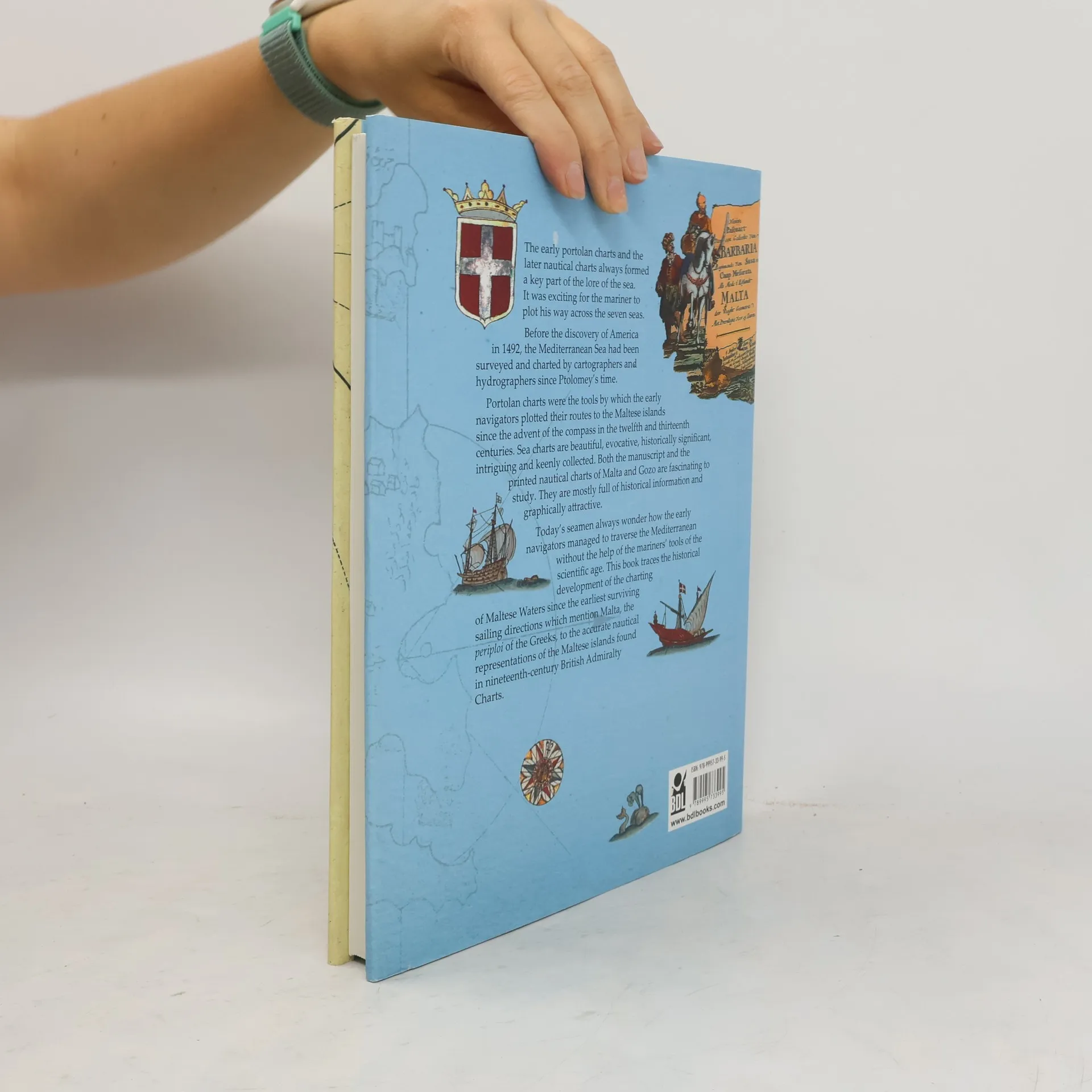
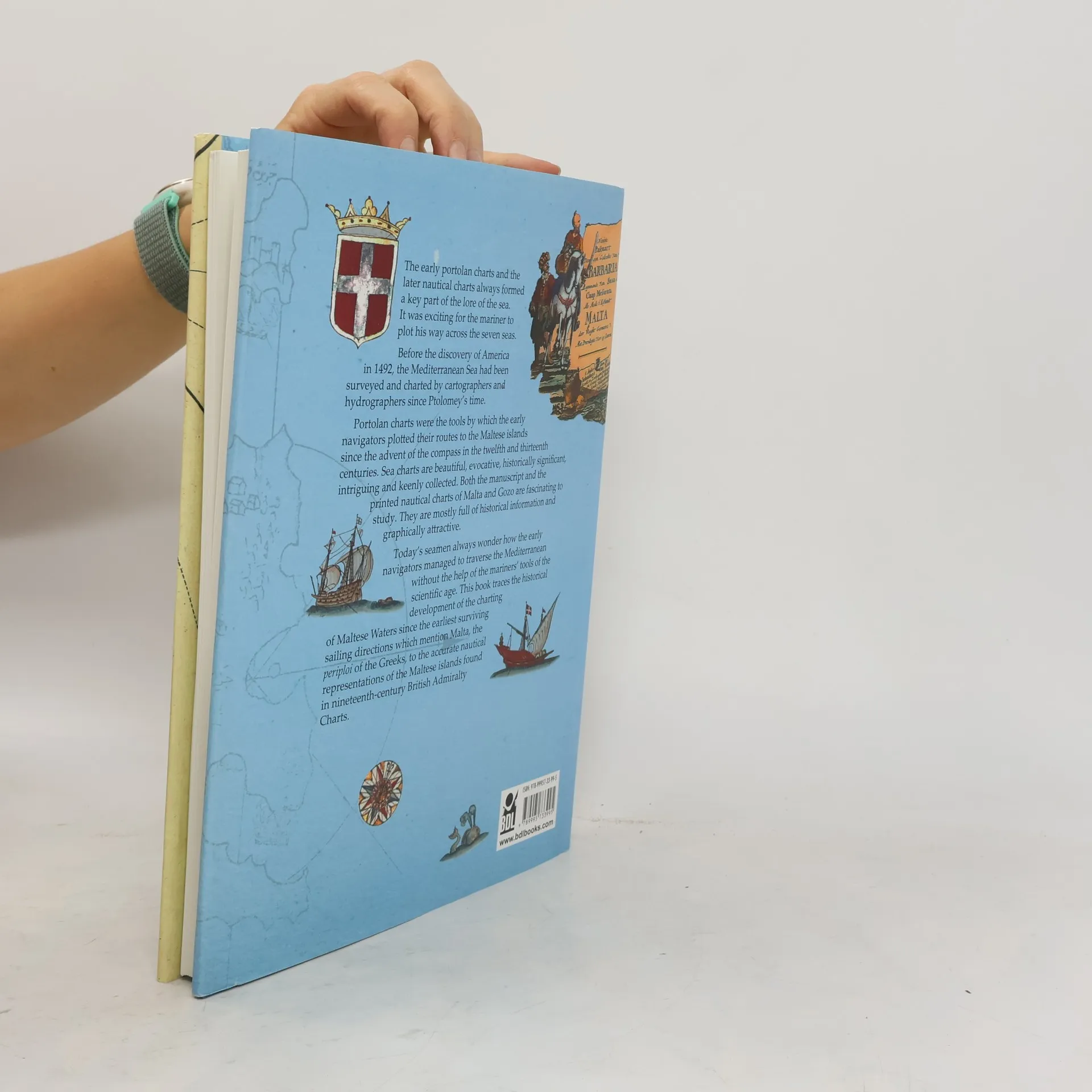
The early Portolan charts and the later nautical charts always formed a key part of the lore of the sea. It was exciting for the mariner to plot his way across the seven seas. Before the discovery of America in 1492, the Mediterranean Sea had been surveyed and charted by cartographers and hydrographers since Ptolomey’s time. Portolan charts were the tools by which the early navigators plotted their routes to the Maltese islands since the advent of the compass in the twelfth and thirteenth centuries. Sea charts are beautiful, evocative, historically significant, intriguing and keenly collected. Both the manuscript and the printed nautical charts of Malta and Gozo are fascinating to study. They are mostly full of historical information and graphically attractive.0Today’s seamen always wonder how the early navigators managed to traverse the Mediterranean without the help of the mariners’ tools of the scientific age. This book traces the historical development of the charting of Maltese Waters since the earliest surviving sailing directions which mention Malta, the periploi of the Greeks, to the accurate nautical representations of the Maltese islands found in nineteenth-century British Admiralty Charts.
Zakup książki
The Charting of Maltese Waters, William Soler
- Język

- Rok wydania
- 2013
- Oprawa
- (twarda)
Metody płatności
Nikt jeszcze nie ocenił.
- Tytuł
- The Charting of Maltese Waters
- Podtytuł
- A Historical Account
- Język
- angielski
- Autorzy
- William Soler
- Wydawca
- BDL Books
- Rok wydania
- 2013
- Oprawa
- twarda
- Liczba stron
- 140
- ISBN10
- 9995733994
- ISBN13
- 9789995733995
- Seria
- Kategorie
- Tagi
- Kartografia
- Opis
- The early Portolan charts and the later nautical charts always formed a key part of the lore of the sea. It was exciting for the mariner to plot his way across the seven seas. Before the discovery of America in 1492, the Mediterranean Sea had been surveyed and charted by cartographers and hydrographers since Ptolomey’s time. Portolan charts were the tools by which the early navigators plotted their routes to the Maltese islands since the advent of the compass in the twelfth and thirteenth centuries. Sea charts are beautiful, evocative, historically significant, intriguing and keenly collected. Both the manuscript and the printed nautical charts of Malta and Gozo are fascinating to study. They are mostly full of historical information and graphically attractive.0Today’s seamen always wonder how the early navigators managed to traverse the Mediterranean without the help of the mariners’ tools of the scientific age. This book traces the historical development of the charting of Maltese Waters since the earliest surviving sailing directions which mention Malta, the periploi of the Greeks, to the accurate nautical representations of the Maltese islands found in nineteenth-century British Admiralty Charts.