


Więcej o książce
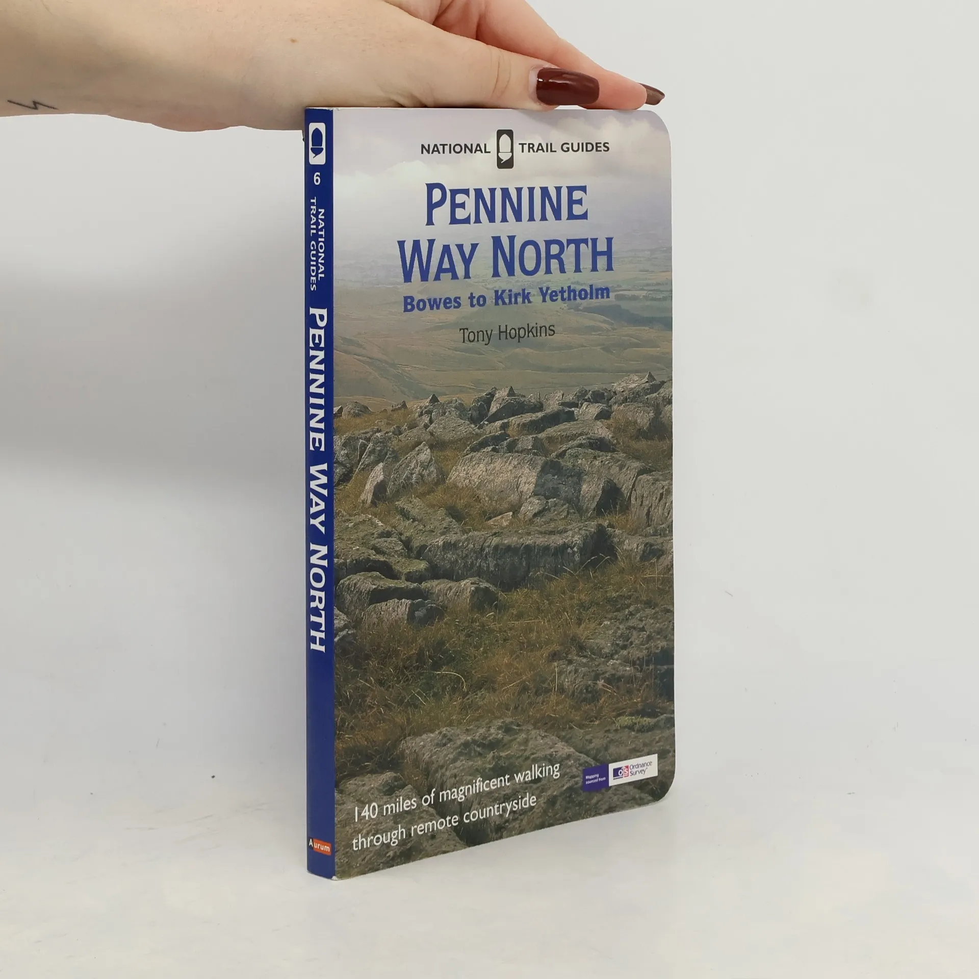
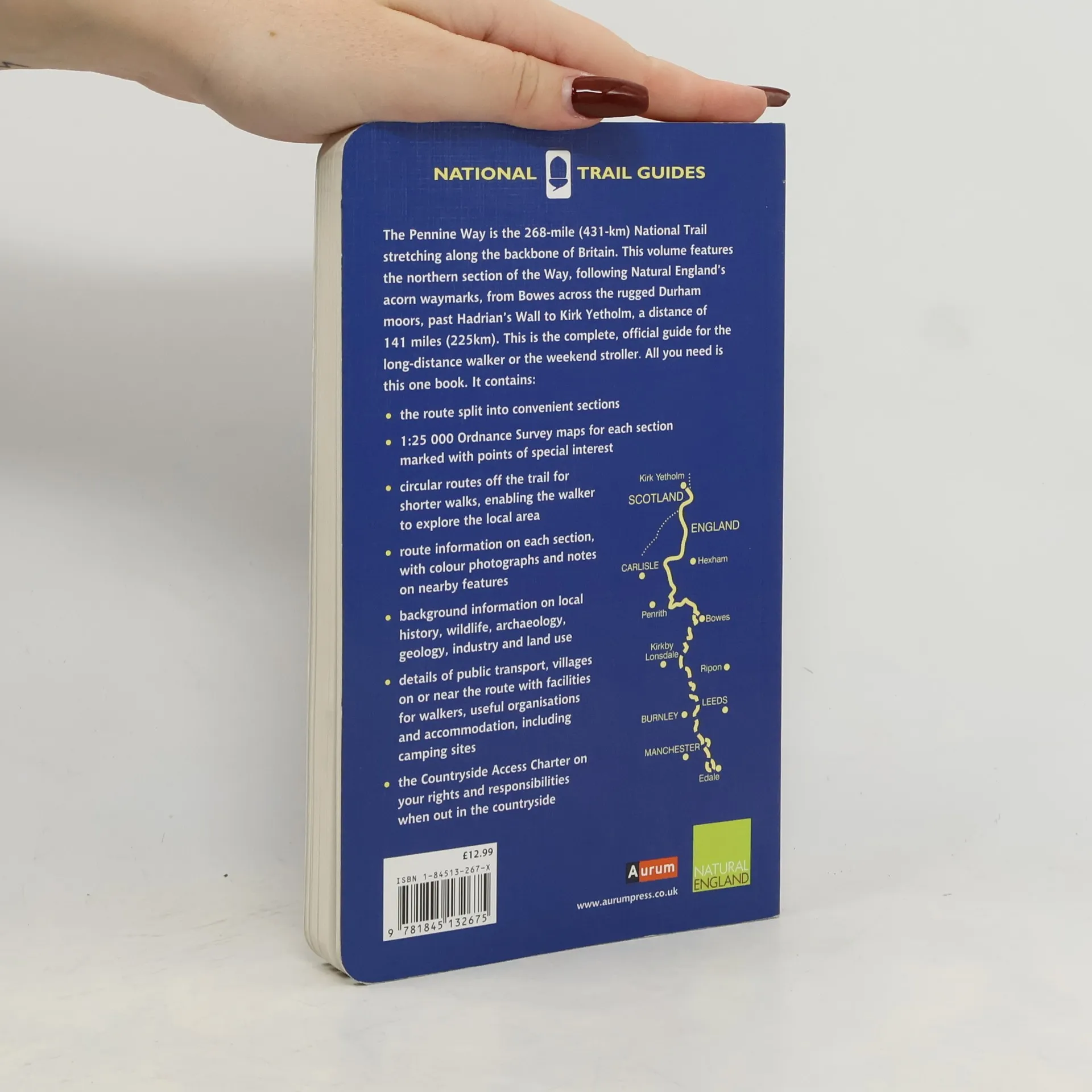
The Pennine Way is the 256-mile (412 km) National Trail stretching along the backbone of Britain. This volume features the northern section of the Way, following the Countryside Agency's acorn waymarks from Bowes across the rugged Durham moors, past Hadrian's Wall to Kirk Yetholm, a distance of 129 miles (207 km). This is the complete, official guide for the long distance walker or the weekend stroller. National Trail Guides are the official guidebooks to the 15 National Trails in England and Wales and are published in association with Natural England, the official body charged with developing and maintaining the Trails. This is the official companion to the northern section of the Pennine Way National Trail. Full-color Ordnance Survey maps for each section is shown alongside text. It also includes detailed and up-to-date information on facilities and public transport.
Zakup książki
National Trail Guides - 6: Pennine Way North 2007, Tony Hopkins
- Język

- Rok wydania
- 2007
- Oprawa
- (miękka)
Metody płatności
Brakuje nam tutaj Twojej recenzji.
- Tytuł
- National Trail Guides - 6: Pennine Way North 2007
- Język
- angielski
- Autorzy
- Tony Hopkins
- Wydawca
- Aurum Press
- Rok wydania
- 2007
- Oprawa
- miękka
- Liczba stron
- 168
- ISBN10
- 184513267X
- ISBN13
- 9781845132675
- Seria
- Ocena
- 4 z 5
- Opis
- The Pennine Way is the 256-mile (412 km) National Trail stretching along the backbone of Britain. This volume features the northern section of the Way, following the Countryside Agency's acorn waymarks from Bowes across the rugged Durham moors, past Hadrian's Wall to Kirk Yetholm, a distance of 129 miles (207 km). This is the complete, official guide for the long distance walker or the weekend stroller. National Trail Guides are the official guidebooks to the 15 National Trails in England and Wales and are published in association with Natural England, the official body charged with developing and maintaining the Trails. This is the official companion to the northern section of the Pennine Way National Trail. Full-color Ordnance Survey maps for each section is shown alongside text. It also includes detailed and up-to-date information on facilities and public transport.