

Parametry
- 170 stron
- 6 godzin czytania
Więcej o książce
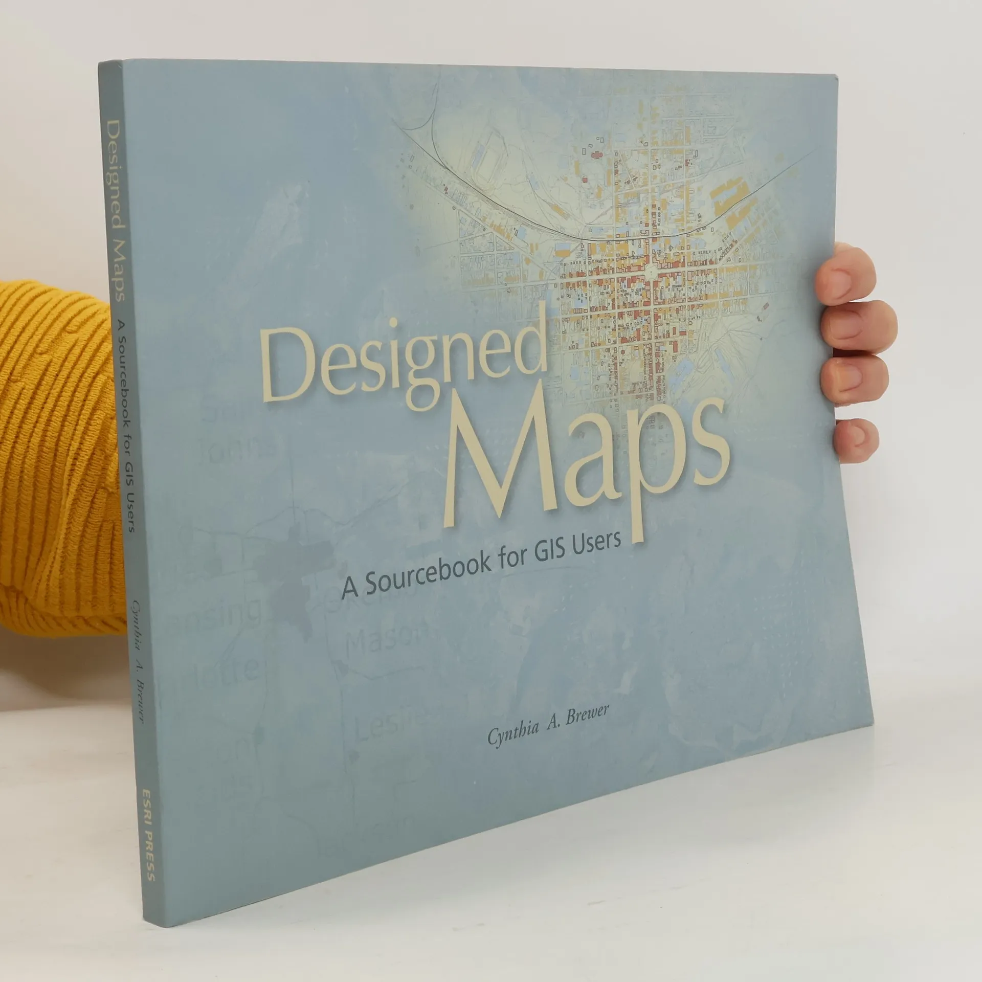
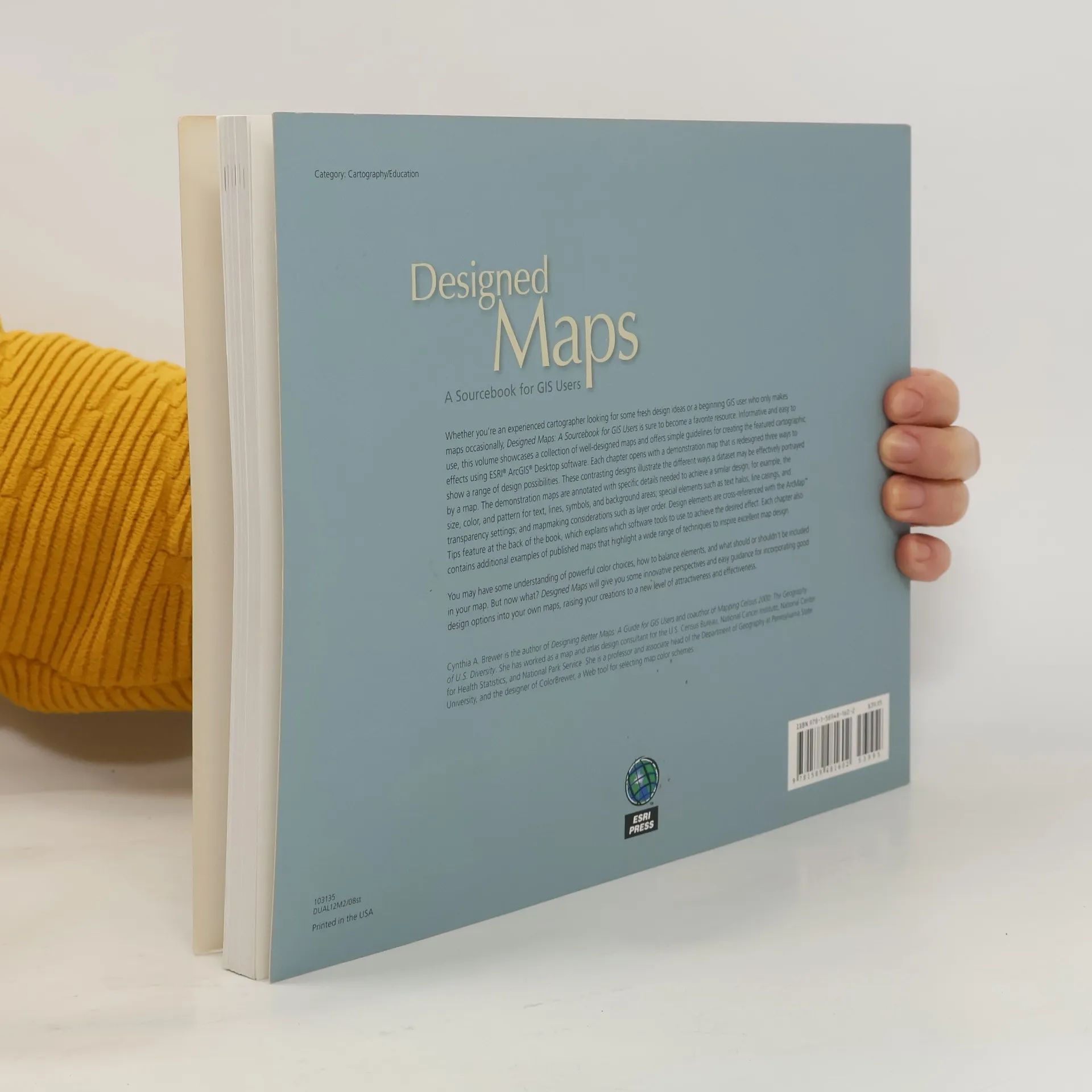
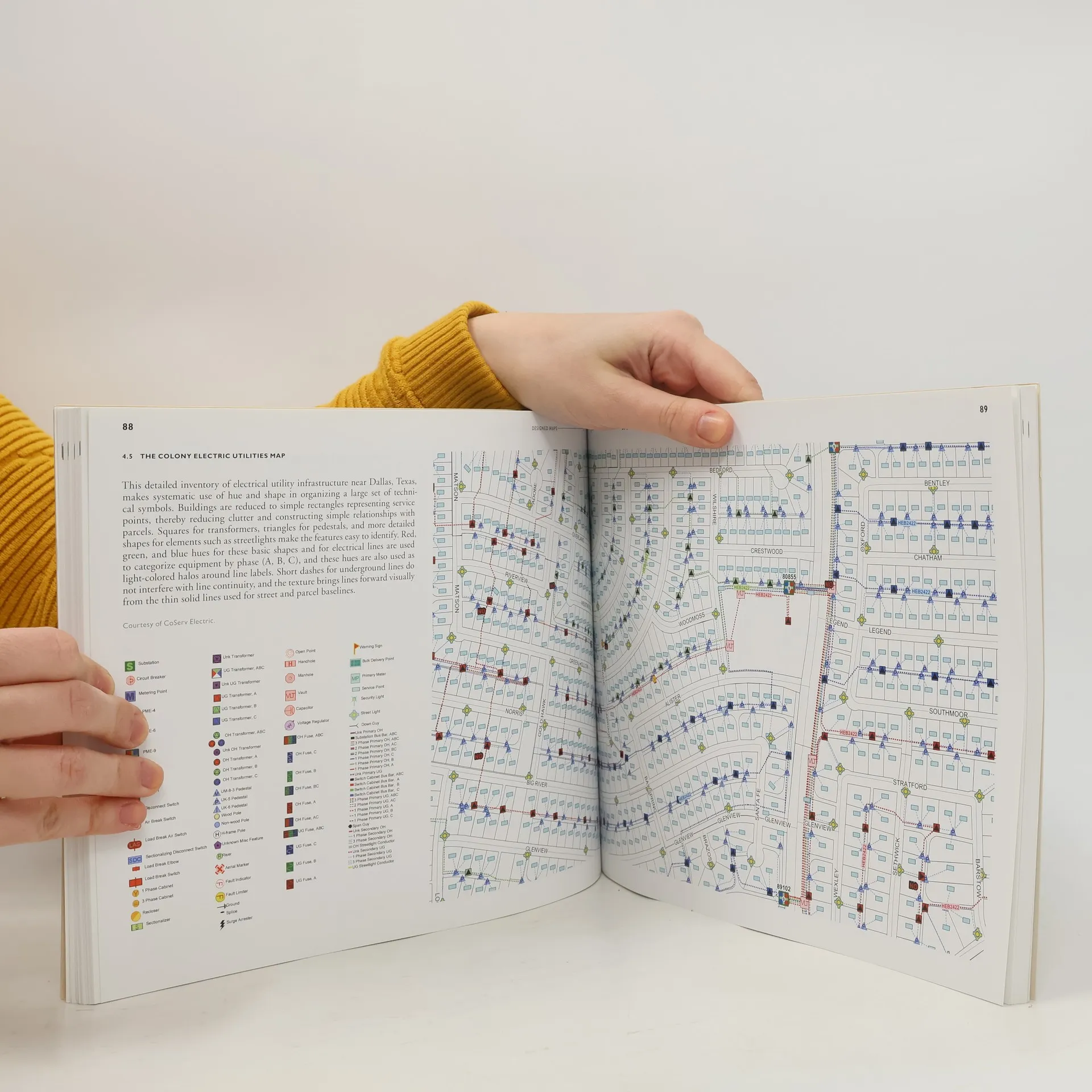
This sequel to the highly successful Designing Maps, offers a graphics-intensive presentation of published maps, providing cartographic examples that GIS users can then adapt for their own needs. Each chapter characterizes a common design decision and includes a demonstration map, which is annotated with specific information needed to reproduce the design, such as text fonts, sizes and styles; line weights, colors, and patterns; marker symbol fonts, sizes, and colors; and fill colors and patterns. Visual hierarchies and the purpose of each map are considered with the audience in mind, drawing a clear connection between intent and design. The book also includes a valuable task index that explains what ArcGIS 9 tools to use for desired cartographic effects. From experienced cartographers to those who make GIS maps only occasionally, all GIS users will find this book to be an indispensable resource.
Zakup książki
Designed Maps, Cynthia A. Brewer
- Język

- Rok wydania
- 2008
- Oprawa
- (miękka)
Metody płatności
Brakuje nam tutaj Twojej recenzji.
- Tytuł
- Designed Maps
- Podtytuł
- A Sourcebook for GIS Users
- Język
- angielski
- Autorzy
- Cynthia A. Brewer
- Wydawca
- ESRI Press
- Rok wydania
- 2008
- Oprawa
- miękka
- Liczba stron
- 170
- ISBN10
- 1589481607
- ISBN13
- 9781589481602
- Seria
- Ocena
- 3,75 z 5
- Opis
- This sequel to the highly successful Designing Maps, offers a graphics-intensive presentation of published maps, providing cartographic examples that GIS users can then adapt for their own needs. Each chapter characterizes a common design decision and includes a demonstration map, which is annotated with specific information needed to reproduce the design, such as text fonts, sizes and styles; line weights, colors, and patterns; marker symbol fonts, sizes, and colors; and fill colors and patterns. Visual hierarchies and the purpose of each map are considered with the audience in mind, drawing a clear connection between intent and design. The book also includes a valuable task index that explains what ArcGIS 9 tools to use for desired cartographic effects. From experienced cartographers to those who make GIS maps only occasionally, all GIS users will find this book to be an indispensable resource.