

Wyprzedane, ale poszukiwane!
Parametry
- 160 stron
- 6 godzin czytania
Więcej o książce
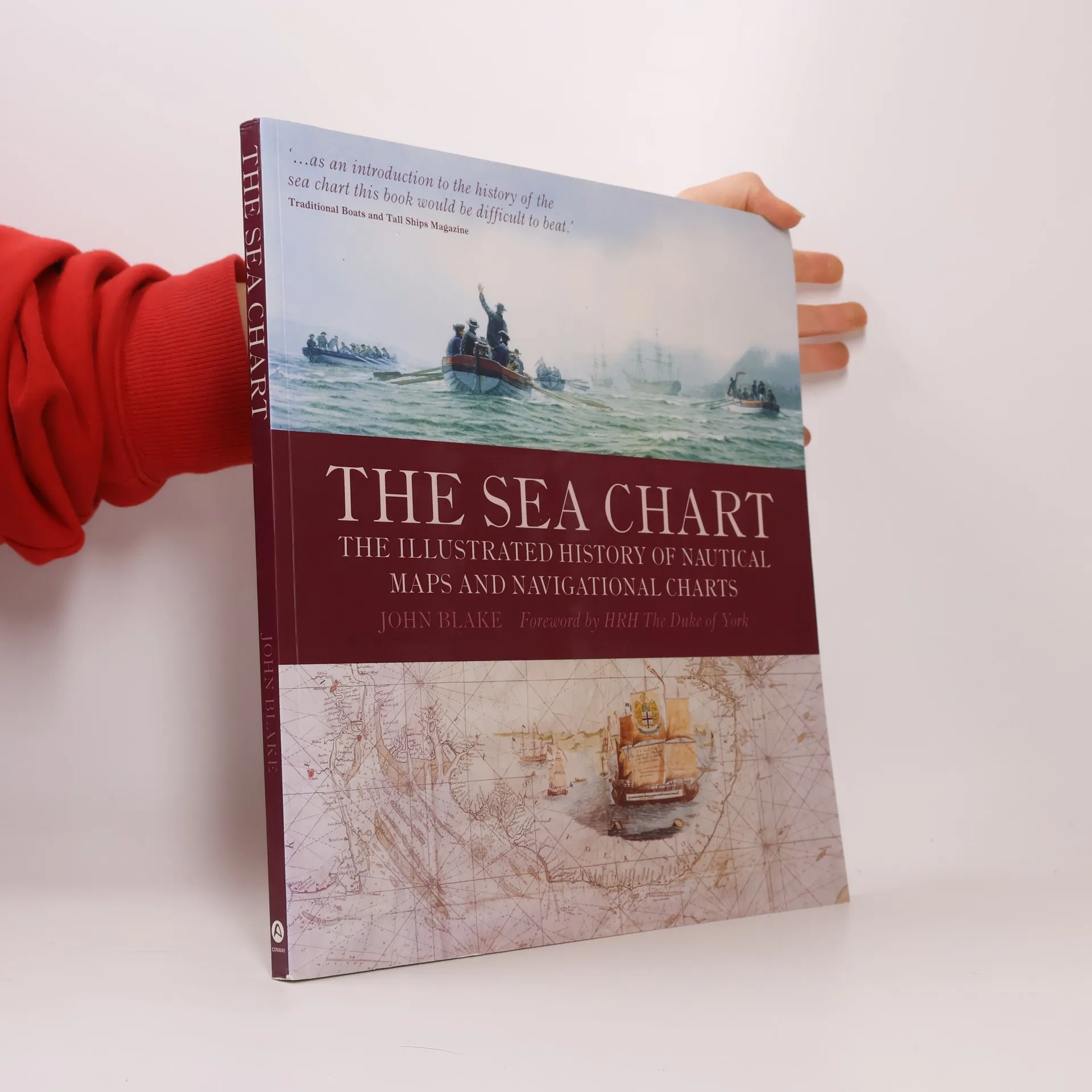
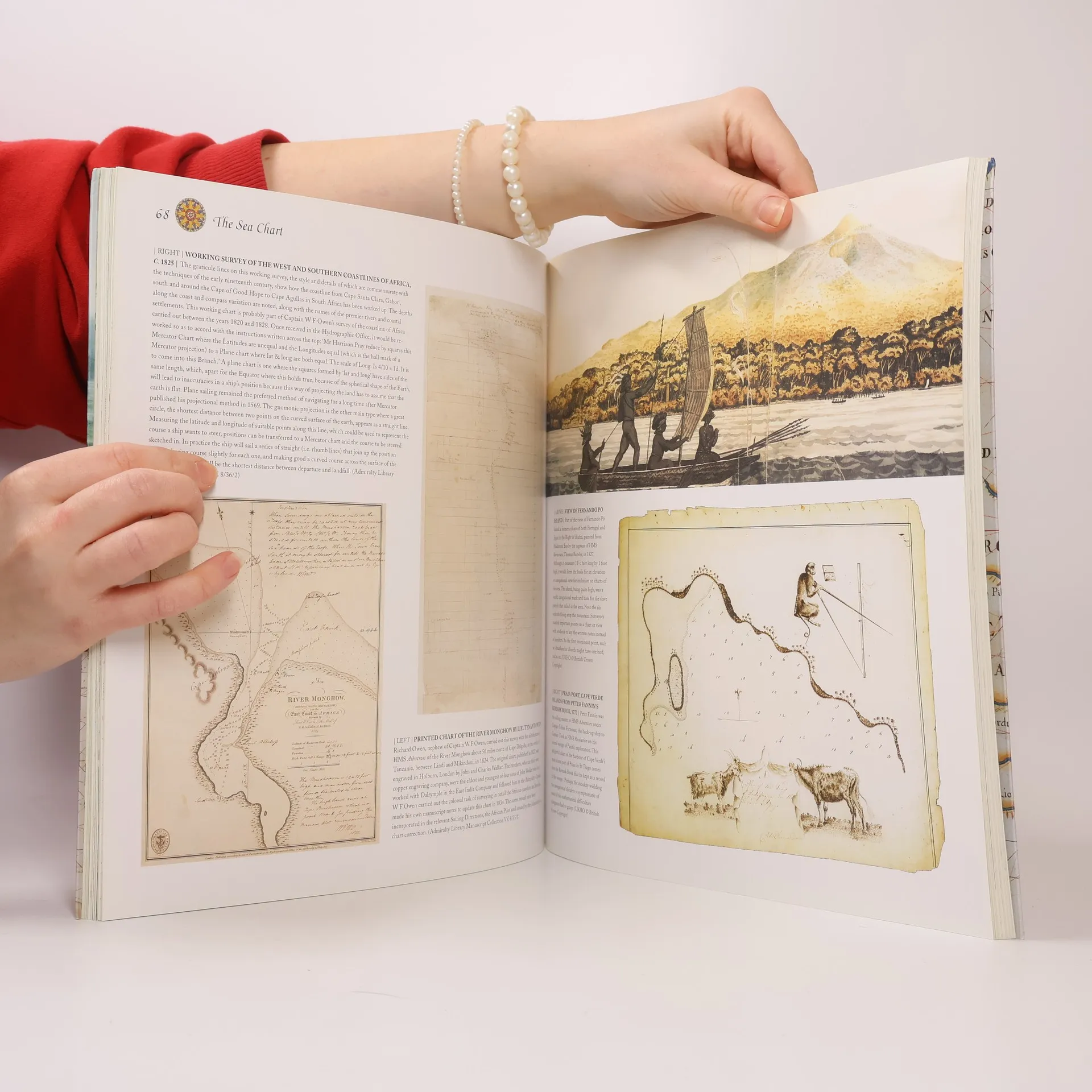
This volume looks at the history and development of the chart and the related nautical map, in both scientific and aesthetic terms, as a means of safe and accurate seaborne navigation. Key figures or milestones in the history of charting are presented in stand-alone story box features.
Zakup książki
The Sea Chart, John Blake, HRH The Duke of York
- Język

- Rok wydania
- 2009
- Oprawa
- (miękka)
Jak tylko się pojawi, wyślemy Ci wiadomość e-mail.
Metody płatności
Brakuje nam tutaj Twojej recenzji.
- Tytuł
- The Sea Chart
- Podtytuł
- The Illustrated History of Nautical Maps and Navigational Charts
- Język
- angielski
- Autorzy
- John Blake, HRH The Duke of York
- Wydawca
- Conway Maritime Press
- Rok wydania
- 2009
- Oprawa
- miękka
- Liczba stron
- 160
- ISBN10
- 1844860639
- ISBN13
- 9781844860630
- Seria
- Kategorie
- Tagi
- Tematy historyczne, Poradniki, Nauka, Transport wodny & Łodzie, Żeglarstwo, Kartografia, Geografia historyczna, Nawigacja
- Ocena
- 4,65 z 5
- Opis
- This volume looks at the history and development of the chart and the related nautical map, in both scientific and aesthetic terms, as a means of safe and accurate seaborne navigation. Key figures or milestones in the history of charting are presented in stand-alone story box features.