

Parametry
- 352 strony
- 13 godzin czytania
Więcej o książce
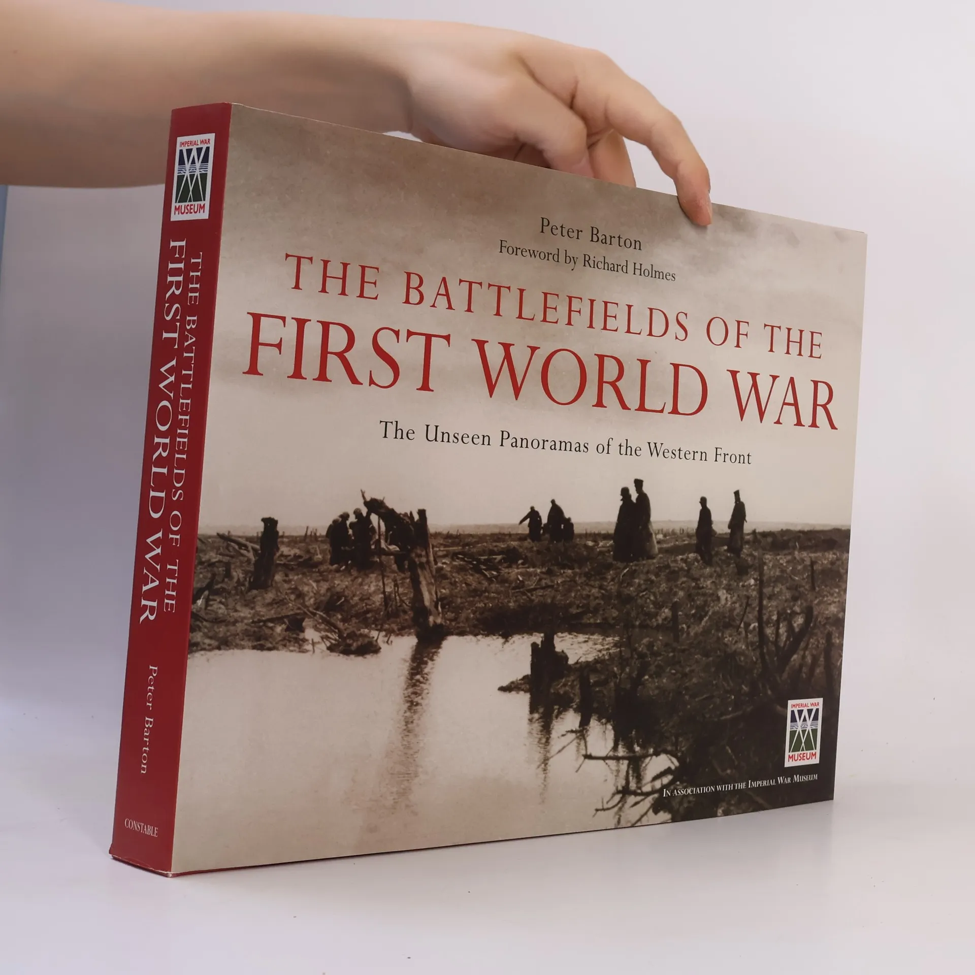
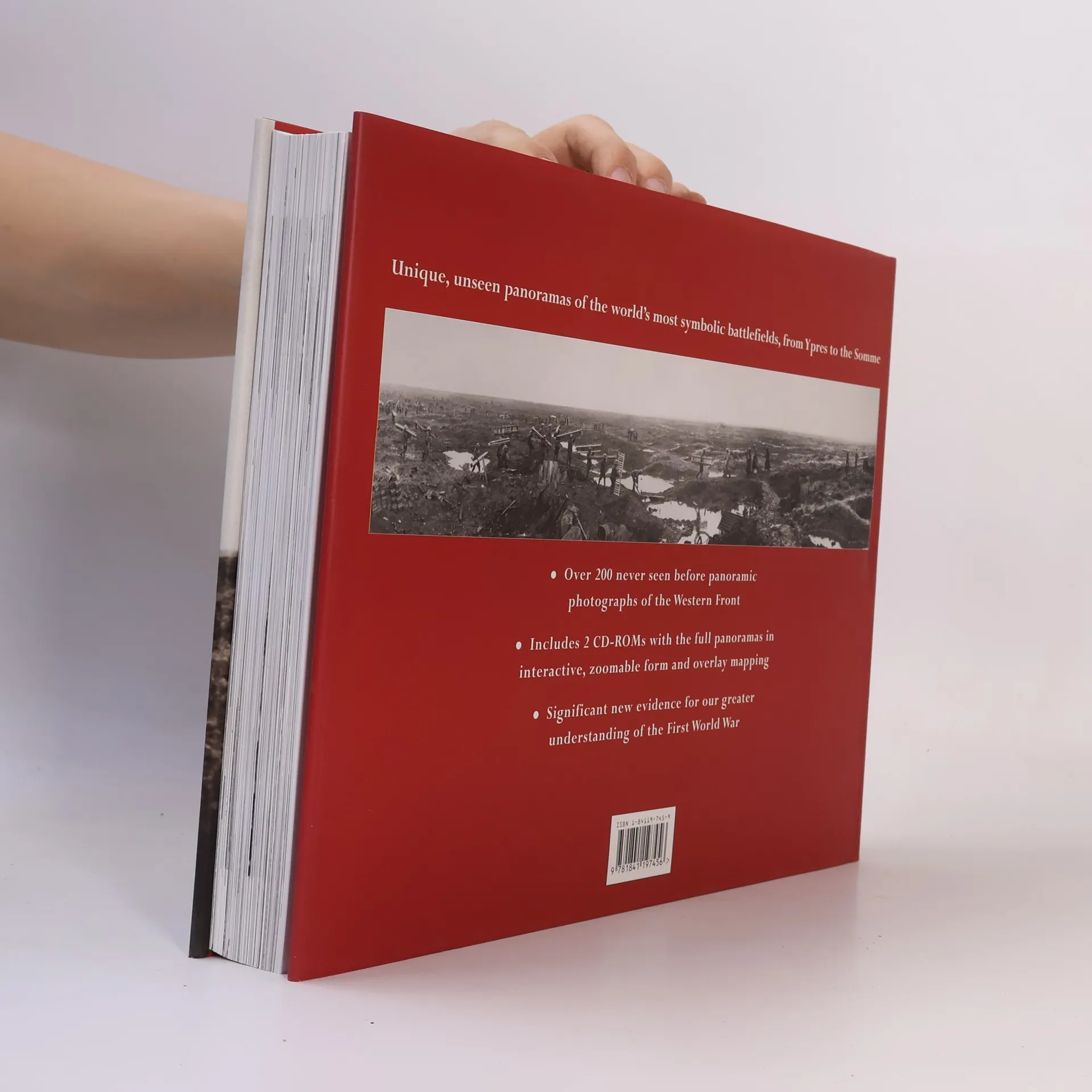
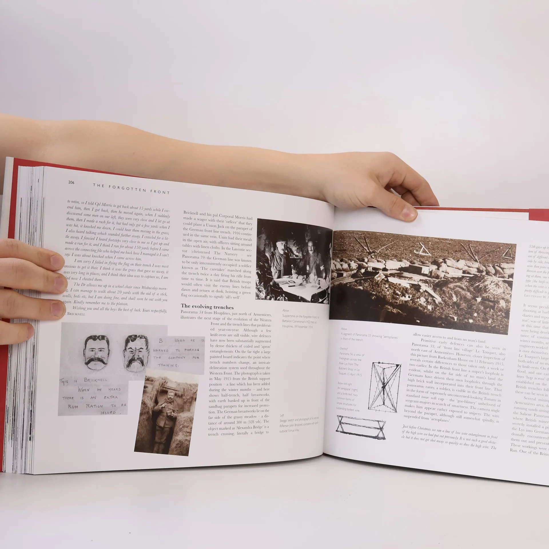
Experience the First World War's battlegrounds like never before, from the First Battle of Ypres to the grim mud of Passchendaele. This work presents stunning panoramas alongside poignant personal photographs and soldiers' recollections from the featured battles. The panoramic images, created by the British Royal Engineers for intelligence, resemble early satellite mapping. Photographers risked their lives, exposing themselves for extended periods to capture views typically seen only through a trench periscope. Many images offer a 160-degree field of view, revealing details like a soldier picking lice or a sniper in hiding. Spanning the entire Western Front, these photographs have a profound impact on general audiences while providing specialists with insights into a lost world, contextualizing other archives temporally and geographically. They challenge common perceptions of the war, depicting not only the tortured landscapes of mud but also fields of flowers, beaches, and standing churches. While desperate scenes exist, the work emphasizes that much of the conflict unfolded in a recognizable, real landscape, offering a nuanced understanding of the war's environment.
Zakup książki
The Battlefields of the First World War, Peter F. Barton, Peter Doyle, Richard Holmes
- Język

- Rok wydania
- 2005
- Oprawa
- (twarda)
Metody płatności
Brakuje nam tutaj Twojej recenzji.
- Tytuł
- The Battlefields of the First World War
- Podtytuł
- The Unseen Panoramas of the Western Front
- Język
- angielski
- Autorzy
- Peter F. Barton, Peter Doyle, Richard Holmes
- Wydawca
- Osprey Publishing
- Rok wydania
- 2005
- Oprawa
- twarda
- Liczba stron
- 352
- ISBN10
- 1841197459
- ISBN13
- 9781841197456
- Seria
- Kategorie
- Ocena
- 4,55 z 5
- Opis
- Experience the First World War's battlegrounds like never before, from the First Battle of Ypres to the grim mud of Passchendaele. This work presents stunning panoramas alongside poignant personal photographs and soldiers' recollections from the featured battles. The panoramic images, created by the British Royal Engineers for intelligence, resemble early satellite mapping. Photographers risked their lives, exposing themselves for extended periods to capture views typically seen only through a trench periscope. Many images offer a 160-degree field of view, revealing details like a soldier picking lice or a sniper in hiding. Spanning the entire Western Front, these photographs have a profound impact on general audiences while providing specialists with insights into a lost world, contextualizing other archives temporally and geographically. They challenge common perceptions of the war, depicting not only the tortured landscapes of mud but also fields of flowers, beaches, and standing churches. While desperate scenes exist, the work emphasizes that much of the conflict unfolded in a recognizable, real landscape, offering a nuanced understanding of the war's environment.