

Więcej o książce
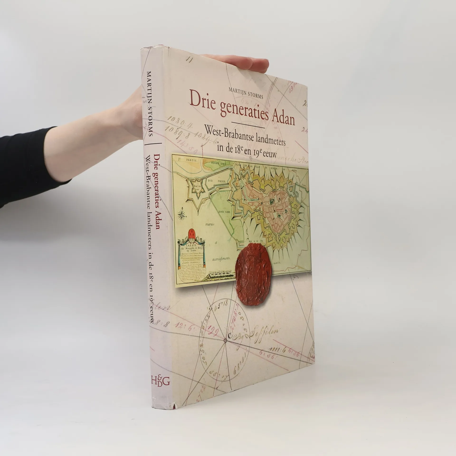
In the eighteenth and early nineteenth century three following generations of the Adan geometrician family where active in the western part of the province of Noord-Brabant, the Netherlands. The cartographic production of these three generations of geometricians gives a good impression of the development of Dutch cartography in the eighteenth and nineteenth century. This work is a scientific accountable reference book and a standard work about the cartographic heritance of the Adan family. It contains contributions about the local landscape, the history of the region, geometricians, the family history and the Adans in historic cartographic perspective. It also includes an annotated bibliography with descriptions and illustrations of nearly 1100 maps which the Adan geometricians have manufactured. The book contains many full-page maps in colour.
Zakup książki
Drie generaties Adan, Martijn Storms, Luc Janssens, Joss Hopstaken, Karel Leenders, Museum Tongerlohuys
- Język

- Rok wydania
- 2008
- Oprawa
- (twarda)
Metody płatności
Brakuje nam tutaj Twojej recenzji.
- Tytuł
- Drie generaties Adan
- Podtytuł
- West-Brabantse landmeters in de achttiende en negentiende eeuw
- Język
- holenderski
- Wydawca
- Brill
- Rok wydania
- 2008
- Oprawa
- twarda
- Liczba stron
- 284
- ISBN10
- 9061940400
- ISBN13
- 9789061940401
- Seria
- Tagi
- Katalogi wystaw
- Ocena
- 5 z 5
- Opis
- In the eighteenth and early nineteenth century three following generations of the Adan geometrician family where active in the western part of the province of Noord-Brabant, the Netherlands. The cartographic production of these three generations of geometricians gives a good impression of the development of Dutch cartography in the eighteenth and nineteenth century. This work is a scientific accountable reference book and a standard work about the cartographic heritance of the Adan family. It contains contributions about the local landscape, the history of the region, geometricians, the family history and the Adans in historic cartographic perspective. It also includes an annotated bibliography with descriptions and illustrations of nearly 1100 maps which the Adan geometricians have manufactured. The book contains many full-page maps in colour.