

Więcej o książce
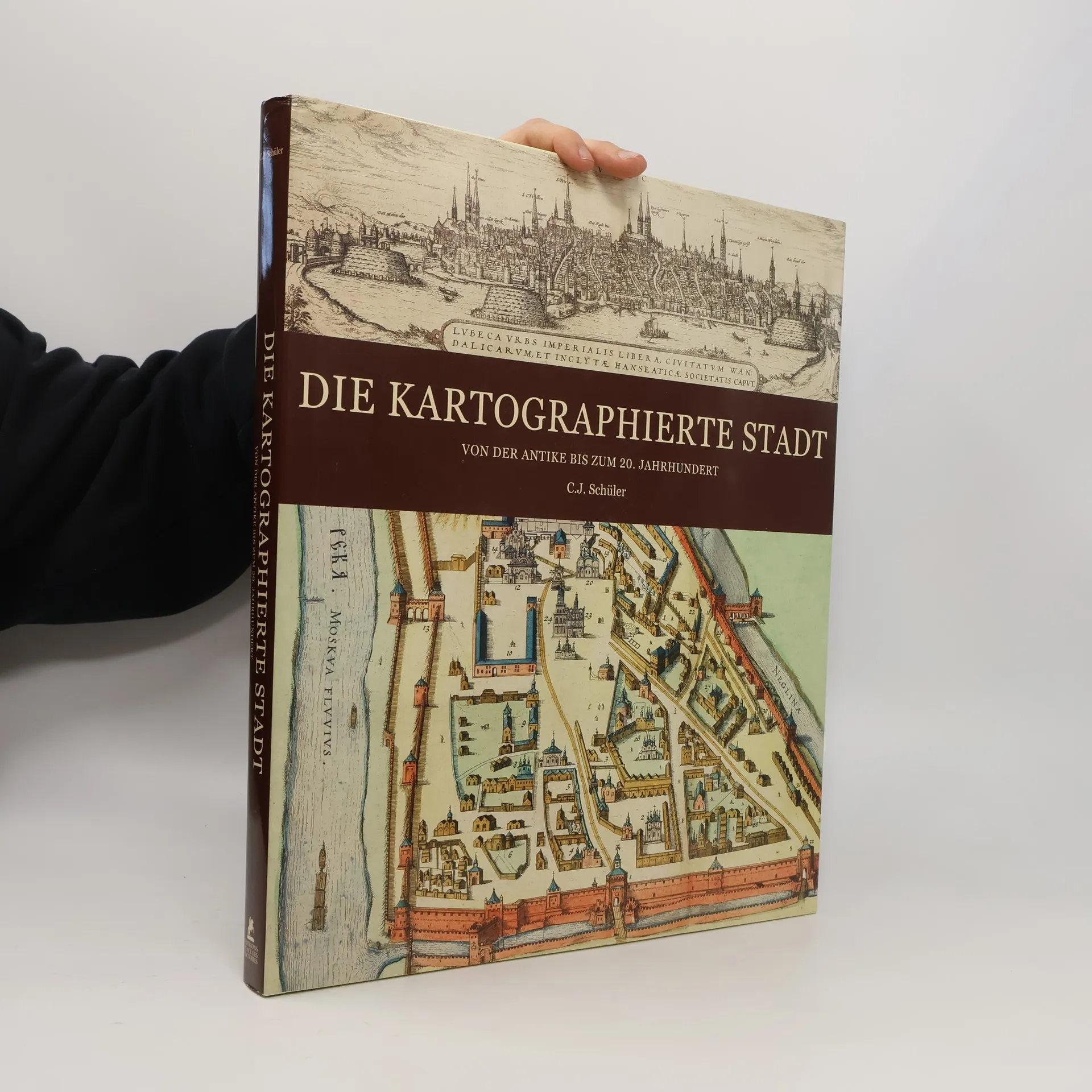
A wonderful collection of old maps from the Royal Geographical Society. Eternal, saintly, imperial, maritime, capital, provincial, old, modern, besieged, open, new, colonial, industrial, fortified, touristic, the city can be seen under a number of aspects since its first appearance in Mesopotomia and the Indus valley 10 000 years ago. Today half of the people on this planet live in towns. The understanding of the urban environment was gradual and plural. 200 beautiful and significant maps from the Royal Geographical Society show how men have thought of and then represented the city in more and more sophisticated ways. This book includes representations from theBabylonian earthenware tablets to the very precise plans from the middle of the 20th century, as well as paintings and medieval illuminations. No matter how unrealistic some of the maps can be, the reader is taken to cities, boroughs and metropolises throughout history in places as diverse as Jerusalem, Istanbul, Jakarta, Edinburgh or New York. An invaluable historical and cultural testimony.
Zakup książki
Die Kartographierte Stadt, C. J. Schüler
- Język

- Rok wydania
- 2011
Metody płatności
Nikt jeszcze nie ocenił.
- Tytuł
- Die Kartographierte Stadt
- Podtytuł
- Von der Antike bis zum 20. Jahrhundert
- Język
- niemiecki
- Autorzy
- C. J. Schüler
- Wydawca
- WBG
- Rok wydania
- 2011
- Liczba stron
- 320
- ISBN10
- 2809902704
- ISBN13
- 9782809902709
- Seria
- Opis
- A wonderful collection of old maps from the Royal Geographical Society. Eternal, saintly, imperial, maritime, capital, provincial, old, modern, besieged, open, new, colonial, industrial, fortified, touristic, the city can be seen under a number of aspects since its first appearance in Mesopotomia and the Indus valley 10 000 years ago. Today half of the people on this planet live in towns. The understanding of the urban environment was gradual and plural. 200 beautiful and significant maps from the Royal Geographical Society show how men have thought of and then represented the city in more and more sophisticated ways. This book includes representations from theBabylonian earthenware tablets to the very precise plans from the middle of the 20th century, as well as paintings and medieval illuminations. No matter how unrealistic some of the maps can be, the reader is taken to cities, boroughs and metropolises throughout history in places as diverse as Jerusalem, Istanbul, Jakarta, Edinburgh or New York. An invaluable historical and cultural testimony.