

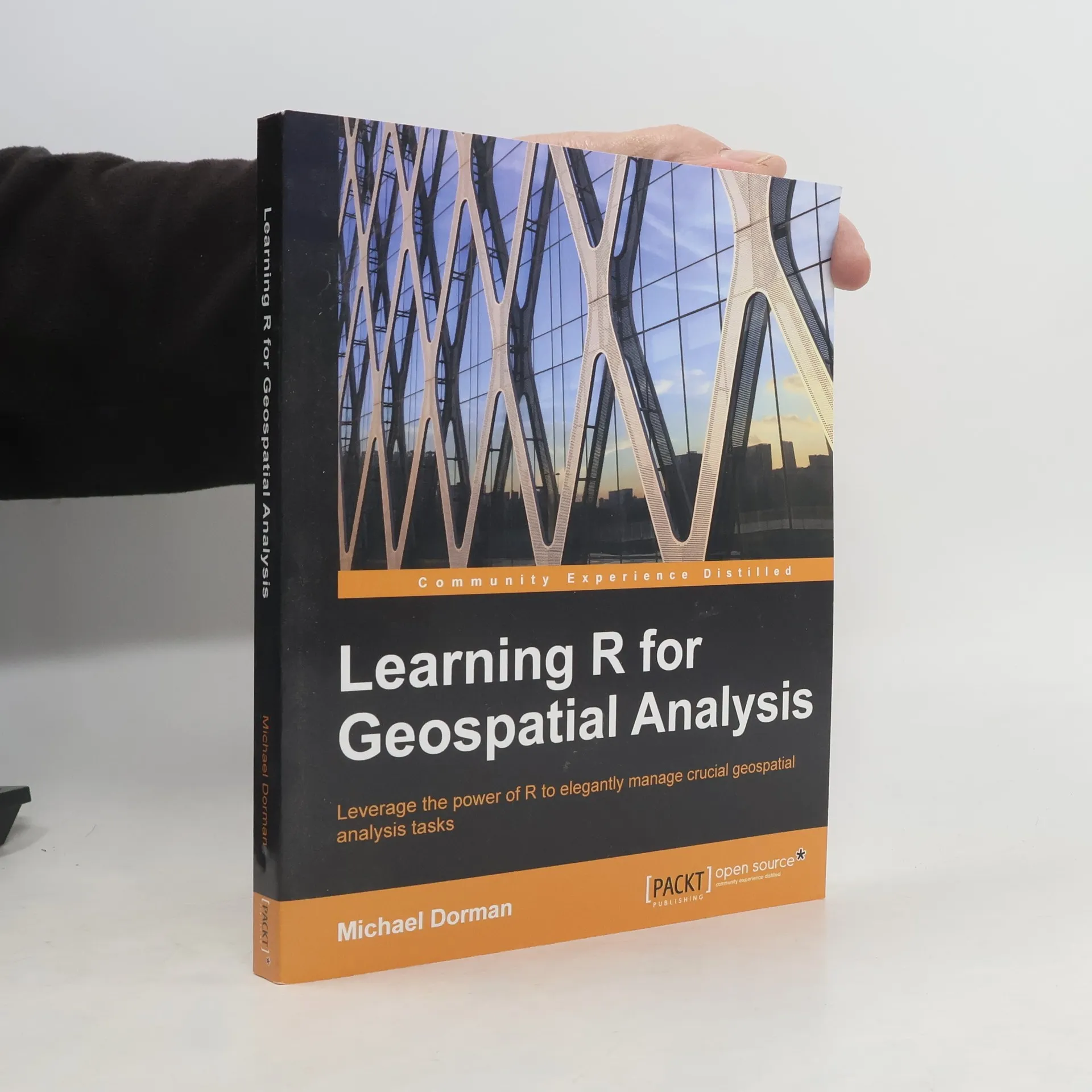

Learning R for Geospatial Analysis
Leverage the Power of R to Elegantly Manage Crucial Geospatial Analysis Tasks (English Edition)
Autorzy
Ocena książki
Parametry
- 364 strony
- 13 godzin czytania
Więcej o książce
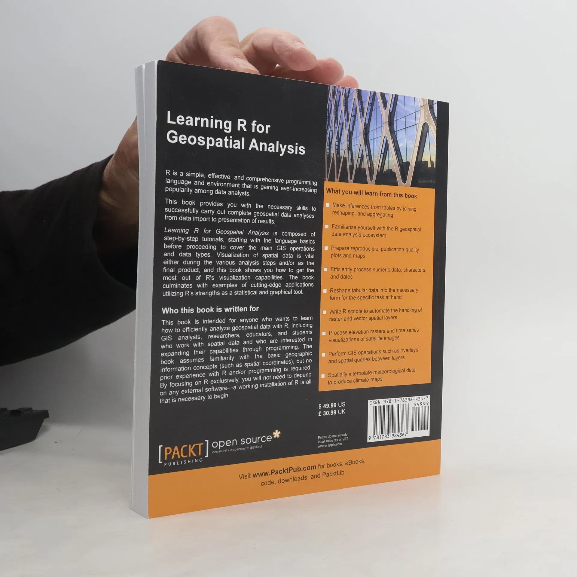
Leverage the power of R to manage crucial geospatial analysis tasks effectively. This book is designed for anyone interested in analyzing geospatial data with R, including GIS analysts, researchers, educators, and students. It assumes familiarity with basic geographic concepts, such as spatial coordinates, but no prior experience with R or programming is required. By focusing solely on R, you won’t need any external software—just a working installation of R to get started. R is a simple, effective, and comprehensive programming language that is increasingly popular among data analysts. This resource equips you with the skills to conduct complete geospatial data analyses, from data import to results presentation. It features step-by-step tutorials that begin with language basics and progress to essential GIS operations and data types. Visualization of spatial data is crucial during analysis and as a final product, and the book demonstrates how to maximize R's visualization capabilities. It concludes with examples of innovative applications that showcase R's strengths as a statistical and graphical tool.
Zakup książki
Learning R for Geospatial Analysis, Michael Dorman
- Język

- Rok wydania
- 2014
- Oprawa
- (miękka)
Metody płatności
Brakuje nam tutaj Twojej recenzji.
- Tytuł
- Learning R for Geospatial Analysis
- Podtytuł
- Leverage the Power of R to Elegantly Manage Crucial Geospatial Analysis Tasks (English Edition)
- Język
- angielski
- Autorzy
- Michael Dorman
- Wydawca
- Packt Publishing
- Rok wydania
- 2014
- Oprawa
- miękka
- Liczba stron
- 364
- ISBN10
- 1783984368
- ISBN13
- 9781783984367
- Seria
- Kategorie
- Ocena
- 4,5 z 5
- Opis
- Leverage the power of R to manage crucial geospatial analysis tasks effectively. This book is designed for anyone interested in analyzing geospatial data with R, including GIS analysts, researchers, educators, and students. It assumes familiarity with basic geographic concepts, such as spatial coordinates, but no prior experience with R or programming is required. By focusing solely on R, you won’t need any external software—just a working installation of R to get started. R is a simple, effective, and comprehensive programming language that is increasingly popular among data analysts. This resource equips you with the skills to conduct complete geospatial data analyses, from data import to results presentation. It features step-by-step tutorials that begin with language basics and progress to essential GIS operations and data types. Visualization of spatial data is crucial during analysis and as a final product, and the book demonstrates how to maximize R's visualization capabilities. It concludes with examples of innovative applications that showcase R's strengths as a statistical and graphical tool.