

Więcej o książce
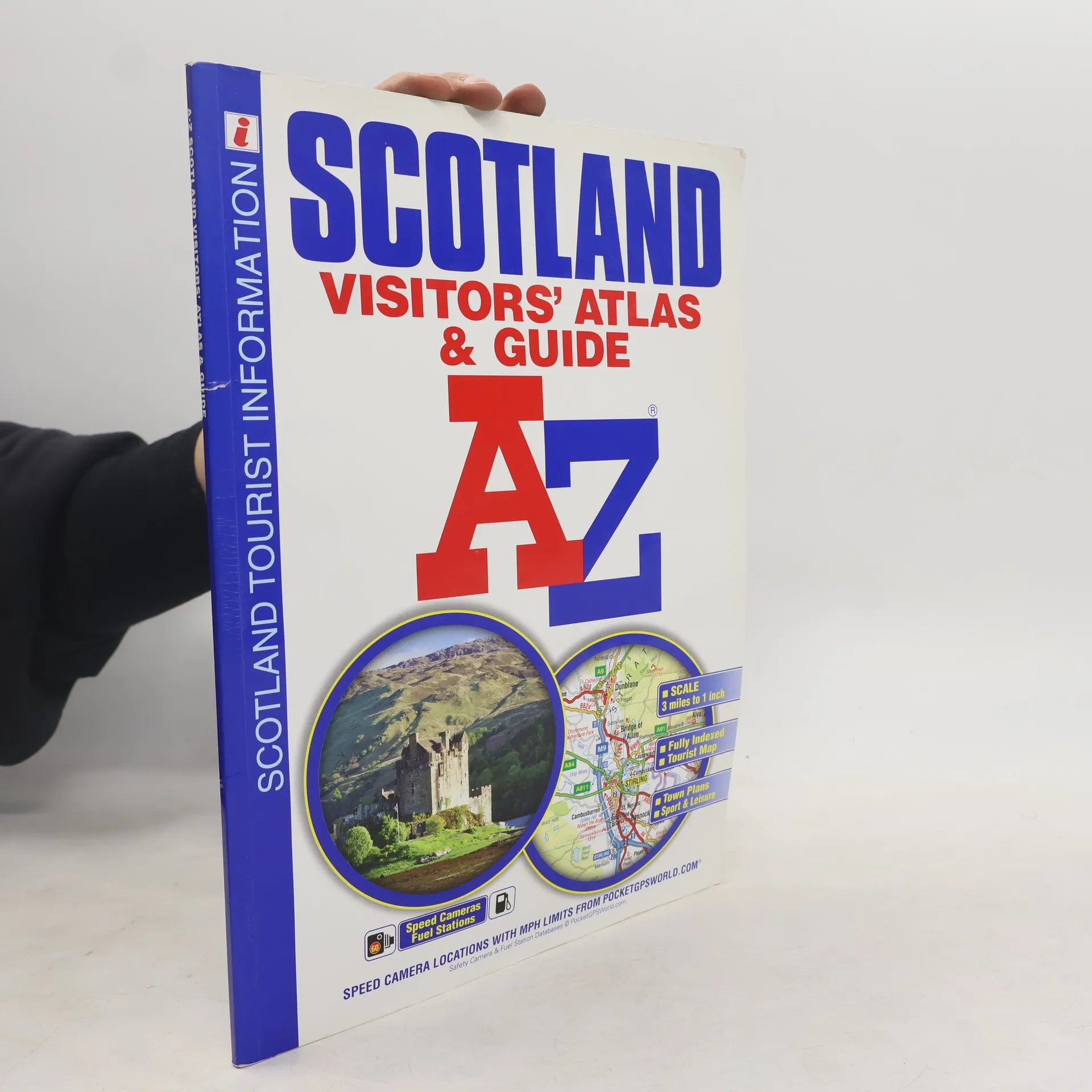
This A-Z Map of Scotland is a full-color visitors' atlas and guide featuring detailed road mapping at 3 miles to 1 inch, complemented by an illustrated town plan section, making it an informative tourist resource. It includes 64 pages of road mapping covering all of Scotland, including the Inner and Outer Hebrides, Orkney, and Shetland Islands. The atlas features an index to cities, towns, villages, and major destinations, along with a comprehensive index of places of interest with corresponding map symbols for quick reference. There are 20 city and town plans with background text, tourist information, and leisure attraction details for locations such as Aberdeen, Aviemore, Ayr, Dumfries, Dundee, Edinburgh, Glasgow, and more. The mapping is designed for easy use, with clear road classification colors, full motorway junction details, under construction and proposed roads, primary route destinations, service areas, and a variety of tourist attractions. Additional features include hill shading, road gradient markers, selected safety camera locations with speed limits, and fuel stations. This atlas is perfect for exploring Scotland's vibrant towns and cities or enjoying the stunning landscapes the country has to offer.
Zakup książki
Scotland A-Z Visitors' Atlas & Guide, Geographers A. Z. Map Company
- Język

- Rok wydania
- 2017
- Oprawa
- (miękka)
Metody płatności
Nikt jeszcze nie ocenił.
- Tytuł
- Scotland A-Z Visitors' Atlas & Guide
- Język
- angielski
- Rok wydania
- 2017
- Oprawa
- miękka
- Liczba stron
- 104
- ISBN10
- 1782570640
- ISBN13
- 9781782570646
- Seria
- Tagi
- Podróże, Szkocja, Atlasy, Atlasy drogowe
- Opis
- This A-Z Map of Scotland is a full-color visitors' atlas and guide featuring detailed road mapping at 3 miles to 1 inch, complemented by an illustrated town plan section, making it an informative tourist resource. It includes 64 pages of road mapping covering all of Scotland, including the Inner and Outer Hebrides, Orkney, and Shetland Islands. The atlas features an index to cities, towns, villages, and major destinations, along with a comprehensive index of places of interest with corresponding map symbols for quick reference. There are 20 city and town plans with background text, tourist information, and leisure attraction details for locations such as Aberdeen, Aviemore, Ayr, Dumfries, Dundee, Edinburgh, Glasgow, and more. The mapping is designed for easy use, with clear road classification colors, full motorway junction details, under construction and proposed roads, primary route destinations, service areas, and a variety of tourist attractions. Additional features include hill shading, road gradient markers, selected safety camera locations with speed limits, and fuel stations. This atlas is perfect for exploring Scotland's vibrant towns and cities or enjoying the stunning landscapes the country has to offer.