

Więcej o książce
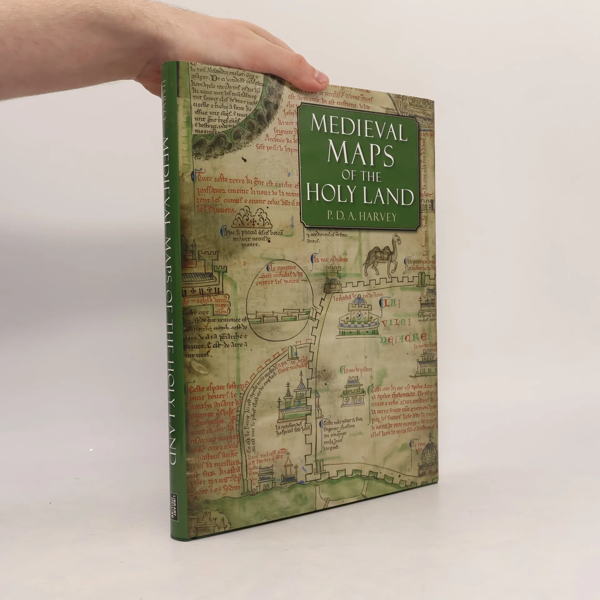
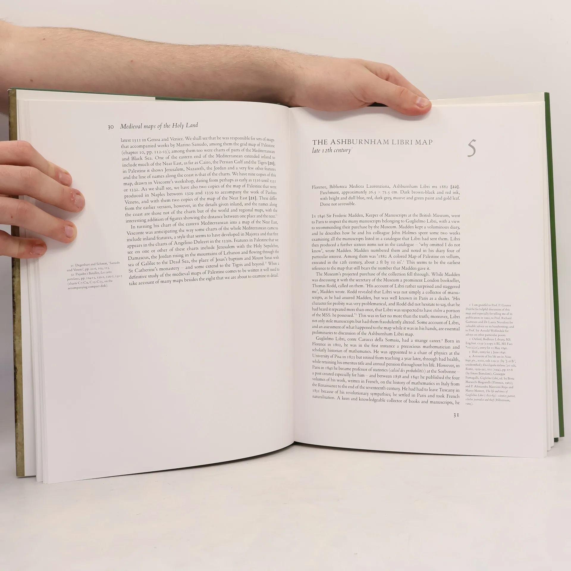
This study examines the eight known medieval regional maps of the Holy Land. Interesting, picturesque, and often colorful, these maps provide great insight into how the Holy Land was perceived by Western Europe in the age of the Crusades. Many of the surviving copies and fragments from the period are reproduced here for the first time, including three large maps that are among medieval Europe’s finest cartographic monuments. In the course of this study P. D. A. Harvey, a leading historian of medieval maps, undertook detailed detective work that revealed many new discoveries, such as two maps hidden behind newer renditions, a map that was transformed into an erotic fantasy by a nineteenth-century forger, and information about the origin of a mysterious grid pattern on some of the maps. The research and illustrations presented in Medieval Maps of the Holy Land constitute an important contribution to the studies of medieval culture, early mapping, and crusading Europe.
Zakup książki
Medieval Maps of the Holy Land, P. D. A. Harvey
- Język

- Rok wydania
- 2012
- Oprawa
- (twarda)
Metody płatności
Brakuje nam tutaj Twojej recenzji.
- Tytuł
- Medieval Maps of the Holy Land
- Język
- angielski
- Autorzy
- P. D. A. Harvey
- Wydawca
- British Library
- Rok wydania
- 2012
- Oprawa
- twarda
- Liczba stron
- 160
- ISBN10
- 0712358242
- ISBN13
- 9780712358248
- Seria
- Tagi
- Średniowiecze, Kartografia, Krucjaty
- Ocena
- 3,6 z 5
- Opis
- This study examines the eight known medieval regional maps of the Holy Land. Interesting, picturesque, and often colorful, these maps provide great insight into how the Holy Land was perceived by Western Europe in the age of the Crusades. Many of the surviving copies and fragments from the period are reproduced here for the first time, including three large maps that are among medieval Europe’s finest cartographic monuments. In the course of this study P. D. A. Harvey, a leading historian of medieval maps, undertook detailed detective work that revealed many new discoveries, such as two maps hidden behind newer renditions, a map that was transformed into an erotic fantasy by a nineteenth-century forger, and information about the origin of a mysterious grid pattern on some of the maps. The research and illustrations presented in Medieval Maps of the Holy Land constitute an important contribution to the studies of medieval culture, early mapping, and crusading Europe.