

Parametry
- 304 strony
- 11 godzin czytania
Więcej o książce
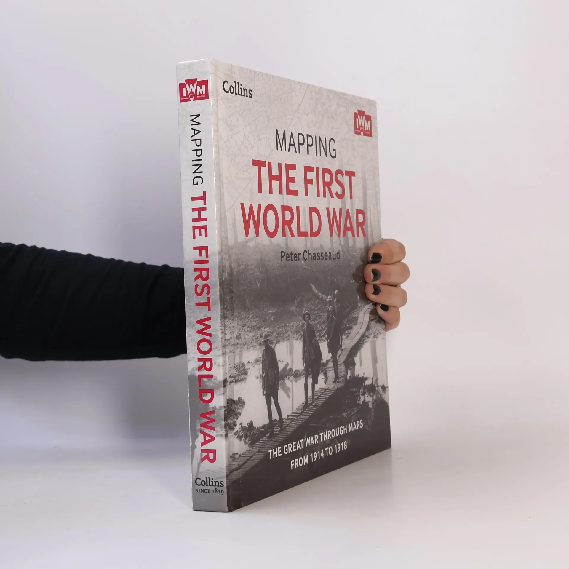
Follow the conflict of World War I from 1914-1918 through a unique collection of historical maps, expert commentary, and photographs More than 150 maps, some previously unpublished, are used here to demonstrate how World War I was fought around the world. Small scale maps show country boundaries and occupied territories, large-scale maps cover the key battles and offensives on all fronts of the war, and trench maps show detailed positions of the front line. Maps from newspapers are also included, as well as battle planning maps and propaganda. Key offensives covered include the Battles of the Marne and Ypres; Tannenberg and the Eastern Front; Verdun and the Somme; the Gallipoli Campaign; Battle of Jutl∧ the Advances to Jerusalem, Damascus, and Baghdad; Vimy Ridge and Passchendae≤ and German 1918 offensives and Allied counter-offensives. Along with the maps, key historical events are described, giving an illustrated history of the war from an expert historian.
Zakup książki
Mapping the First World War, Peter Chasseaud, Imperial War Museum
- Język

- Rok wydania
- 2013
- Oprawa
- (twarda)
Metody płatności
Brakuje nam tutaj Twojej recenzji.
- Tytuł
- Mapping the First World War
- Podtytuł
- The Great War Through Maps from 1914 to 1918
- Język
- angielski
- Autorzy
- Peter Chasseaud, Imperial War Museum
- Wydawca
- Collins
- Rok wydania
- 2013
- Oprawa
- twarda
- Liczba stron
- 304
- ISBN10
- 0007522207
- ISBN13
- 9780007522200
- Seria
- Kategorie
- Ocena
- 3,8 z 5
- Opis
- Follow the conflict of World War I from 1914-1918 through a unique collection of historical maps, expert commentary, and photographs More than 150 maps, some previously unpublished, are used here to demonstrate how World War I was fought around the world. Small scale maps show country boundaries and occupied territories, large-scale maps cover the key battles and offensives on all fronts of the war, and trench maps show detailed positions of the front line. Maps from newspapers are also included, as well as battle planning maps and propaganda. Key offensives covered include the Battles of the Marne and Ypres; Tannenberg and the Eastern Front; Verdun and the Somme; the Gallipoli Campaign; Battle of Jutl∧ the Advances to Jerusalem, Damascus, and Baghdad; Vimy Ridge and Passchendae≤ and German 1918 offensives and Allied counter-offensives. Along with the maps, key historical events are described, giving an illustrated history of the war from an expert historian.