

Więcej o książce
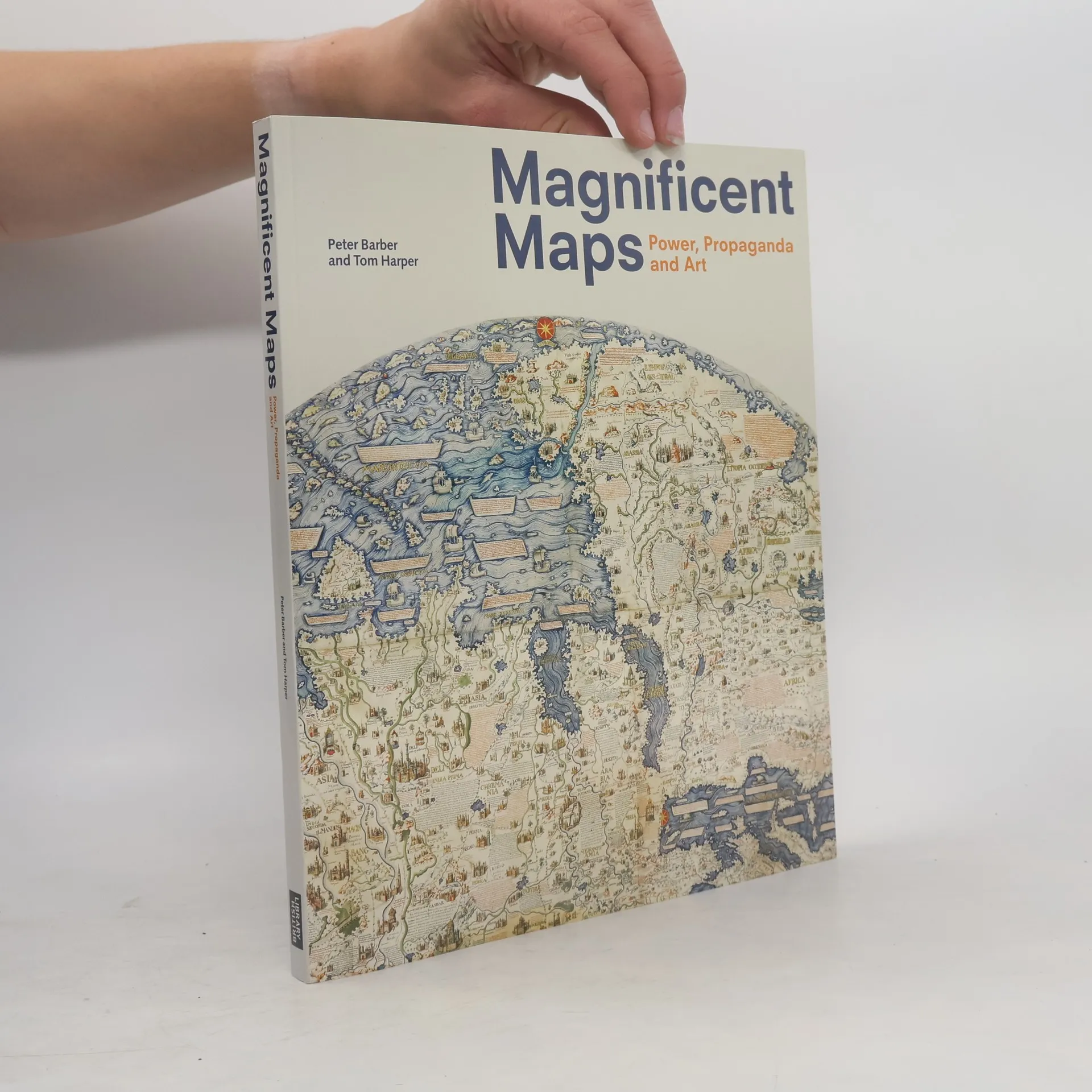
Maps are often as much a visual art form as they are a practical tool for navigation. Of particular visual interest are display maps—maps that often used size and beauty to convey messages of regional and social status and power. Despite their historical significance, many of these display maps have been lost and destroyed over time. Magnificent Maps brings together the best surviving examples in order to illustrate their role in early modern Europe and describe the settings in which they were displayed. Most of the maps collected in Magnificent Maps date from the period 1450 to 1800, the heyday of this approach to mapping. During their time, these maps were displayed in a range of settings, from palaces to schoolrooms to bedchambers, and Peter Barber and Tom Harper here offer vivid descriptions of their original settings and examine their dual roles as propaganda and art. Drawn from one of the greatest collections in the world at the British Library, many of these maps will be completely new even to experts. The unusual aspect of cartography presented in Magnificent Maps will appeal to collectors, historians, mapmakers and users, as well as anyone curious about the many ways we have come to illustrate and define our world.
Zakup książki
Magnificent Maps, Peter Barber, Tom Harper
- Język

- Rok wydania
- 2010
- Oprawa
- (miękka)
Metody płatności
Nikt jeszcze nie ocenił.
- Tytuł
- Magnificent Maps
- Podtytuł
- Power, Propaganda and Art
- Język
- angielski
- Autorzy
- Peter Barber, Tom Harper
- Wydawca
- British Library
- Rok wydania
- 2010
- Oprawa
- miękka
- Liczba stron
- 176
- ISBN10
- 0712350934
- ISBN13
- 9780712350938
- Seria
- Kategorie
- Tagi
- Tematy historyczne, Poradniki, Sztuka, Katalogi wystaw, Zachodnia Europa, Kartografia, Geografia historyczna
- Opis
- Maps are often as much a visual art form as they are a practical tool for navigation. Of particular visual interest are display maps—maps that often used size and beauty to convey messages of regional and social status and power. Despite their historical significance, many of these display maps have been lost and destroyed over time. Magnificent Maps brings together the best surviving examples in order to illustrate their role in early modern Europe and describe the settings in which they were displayed. Most of the maps collected in Magnificent Maps date from the period 1450 to 1800, the heyday of this approach to mapping. During their time, these maps were displayed in a range of settings, from palaces to schoolrooms to bedchambers, and Peter Barber and Tom Harper here offer vivid descriptions of their original settings and examine their dual roles as propaganda and art. Drawn from one of the greatest collections in the world at the British Library, many of these maps will be completely new even to experts. The unusual aspect of cartography presented in Magnificent Maps will appeal to collectors, historians, mapmakers and users, as well as anyone curious about the many ways we have come to illustrate and define our world.