



Więcej o książce
The Peutinger map and the Antonine itinerary represent two of the most important documents on travelling in the Roman world. With a focus on the three provinces Pannonia, Dacia and Moesia, Florin-Gheorghe Fodorean analyzes and compares the distances registered in these documents of ancient geography. By including data from other ancient sources – the Itinerarium Burdigalense, the Notitia Dignitatum, and the Cosmographia of the Anonymous from Ravenna – and by applying a new combination of methods, the author provides new insights into the Peutinger map and the Antonine itinerary. Fodorean discusses some important ancient literary sources, uses the data provided by milestones and compares the distances between the settlements recorded in the two documents. This new methodological approach leads him to the conclusion that the compilers of these most important documents of ancient geography used different sources.
Zakup książki
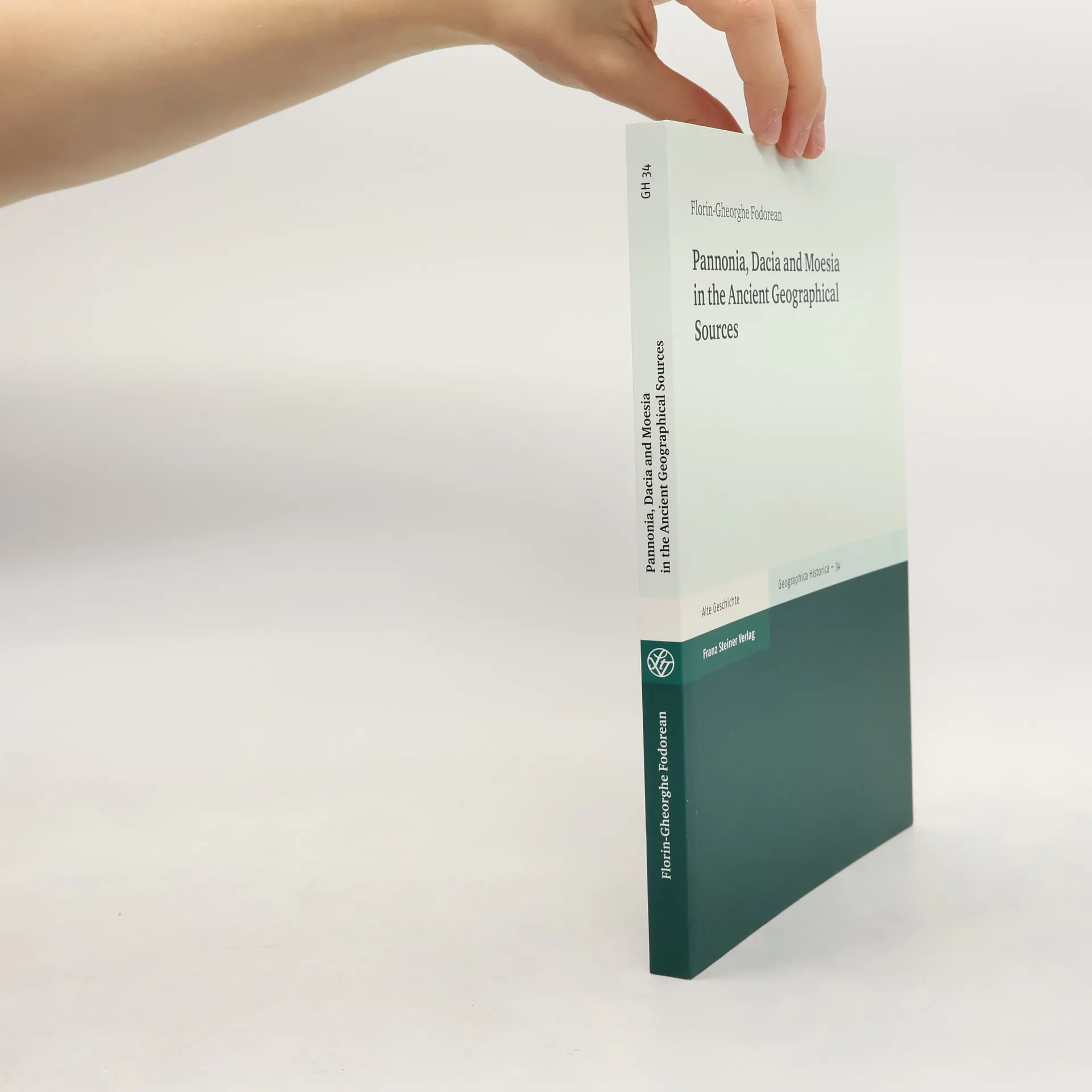
Geographica Historica - 34: Pannonia, Dacia and Moesia in the Ancient Geographical Sources, Florin-Gheorghe Fodorean
- Język

- Rok wydania
- 2016
- Oprawa
- (miękka)
Metody płatności
Nikt jeszcze nie ocenił.
- Tytuł
- Geographica Historica - 34: Pannonia, Dacia and Moesia in the Ancient Geographical Sources
- Język
- angielski
- Autorzy
- Florin-Gheorghe Fodorean
- Wydawca
- Franz Steiner Verlag
- Rok wydania
- 2016
- Oprawa
- miękka
- Liczba stron
- 208
- ISBN10
- 3515112626
- ISBN13
- 9783515112628
- Seria
- Kategorie
- Opis
- The Peutinger map and the Antonine itinerary represent two of the most important documents on travelling in the Roman world. With a focus on the three provinces Pannonia, Dacia and Moesia, Florin-Gheorghe Fodorean analyzes and compares the distances registered in these documents of ancient geography. By including data from other ancient sources – the Itinerarium Burdigalense, the Notitia Dignitatum, and the Cosmographia of the Anonymous from Ravenna – and by applying a new combination of methods, the author provides new insights into the Peutinger map and the Antonine itinerary. Fodorean discusses some important ancient literary sources, uses the data provided by milestones and compares the distances between the settlements recorded in the two documents. This new methodological approach leads him to the conclusion that the compilers of these most important documents of ancient geography used different sources.