

Kupujesz dokładnie tę książkę,która jest na zdjęciu.
Więcej o książce
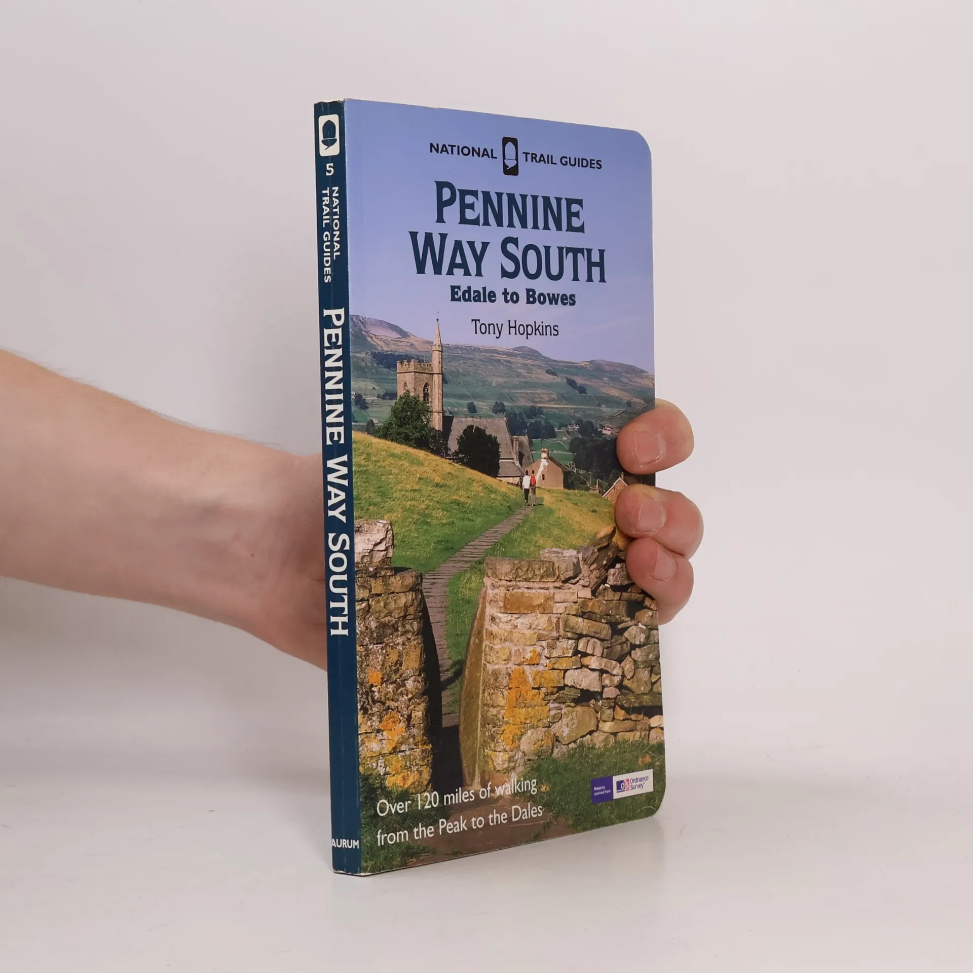
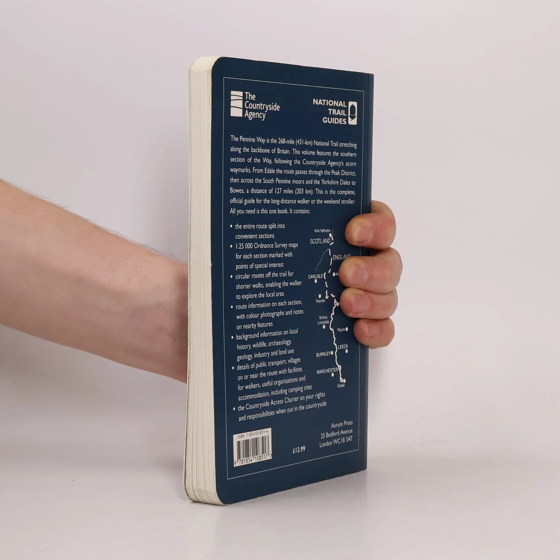
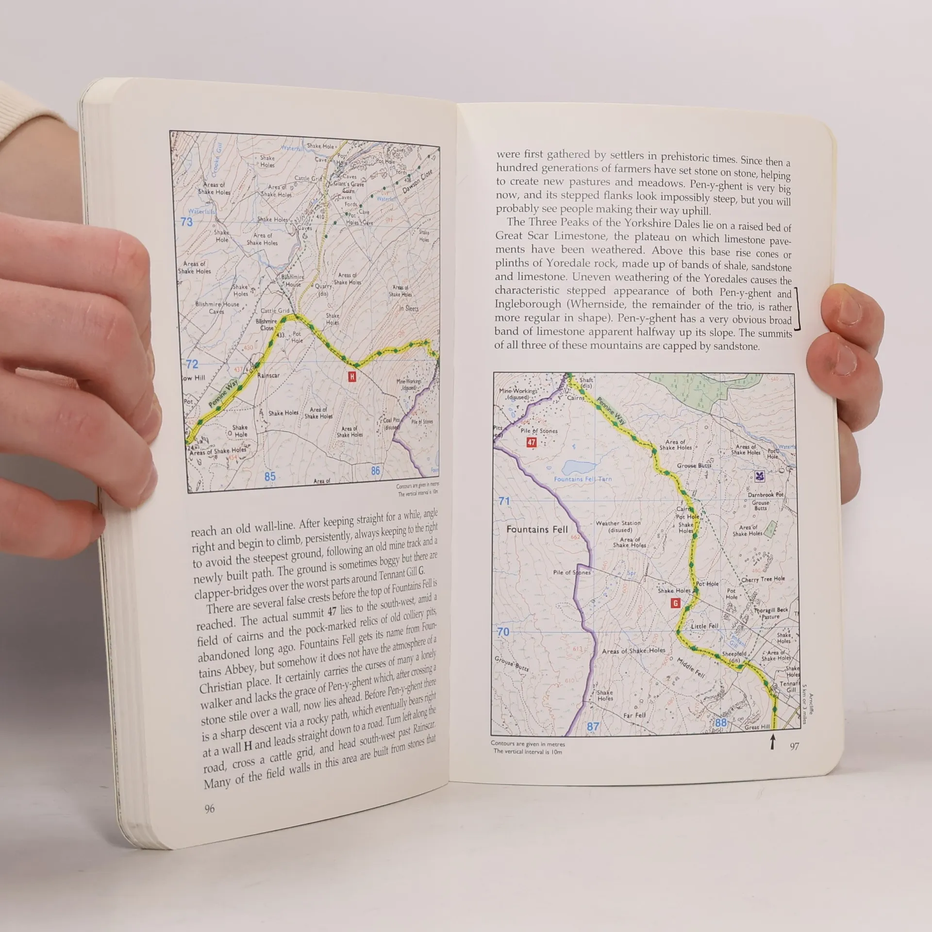
The southern section of the 256-mile Pennine Way starts at Edale in the heart of the Peak District and runs northwards along the hills, which form the backbone of England, through the beautiful Yorkshire Dales National Park to Bowes on the south-eastern borders of the Lake District. This book provides a full and detailed description of the route accompanied by Ordnance Survey maps marked with points of interest along the route. There is information on geology, land use, wildlife and features of historical or archaeological interest as well as a "Useful Information" section giving details of public transport and other facilities along the route.
Zakup książki
National Trail Guides - 5: Pennine Way South, Tony Hopkins
- Język

- Rok wydania
- 2003
- Oprawa
- (miękka),
- Stan książki
- Dobry
- Cena
- 19,59 zł
Metody płatności
Nikt jeszcze nie ocenił.
- Tytuł
- National Trail Guides - 5: Pennine Way South
- Podtytuł
- Edale to Bowes
- Język
- angielski
- Autorzy
- Tony Hopkins
- Wydawca
- Aurum Press
- Rok wydania
- 2003
- Oprawa
- miękka
- Liczba stron
- 144
- ISBN10
- 1854108514
- ISBN13
- 9781854108517
- Seria
- Opis
- The southern section of the 256-mile Pennine Way starts at Edale in the heart of the Peak District and runs northwards along the hills, which form the backbone of England, through the beautiful Yorkshire Dales National Park to Bowes on the south-eastern borders of the Lake District. This book provides a full and detailed description of the route accompanied by Ordnance Survey maps marked with points of interest along the route. There is information on geology, land use, wildlife and features of historical or archaeological interest as well as a "Useful Information" section giving details of public transport and other facilities along the route.