The Times comprehensive atlas of the world
- 544 strony
- 20 godzin czytania
A completely up-to-date edition, this text includes more reference maps and satellite images, and features many more bigger pages and a comprehensive index.



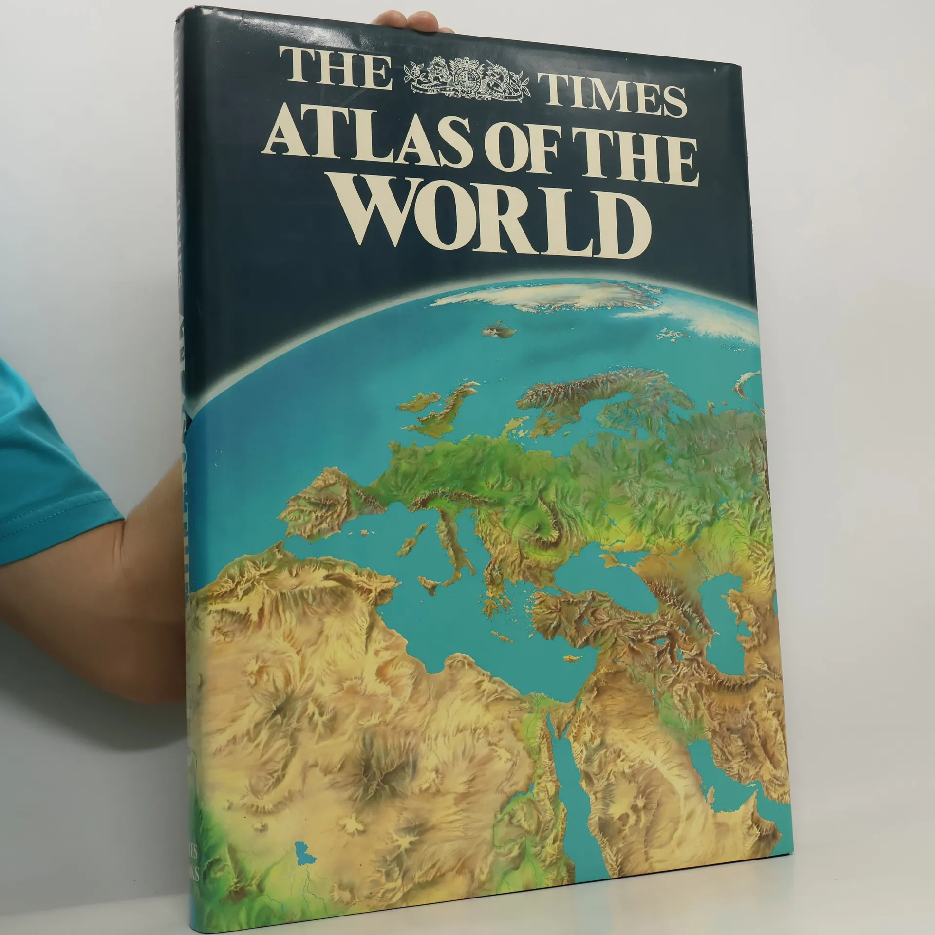
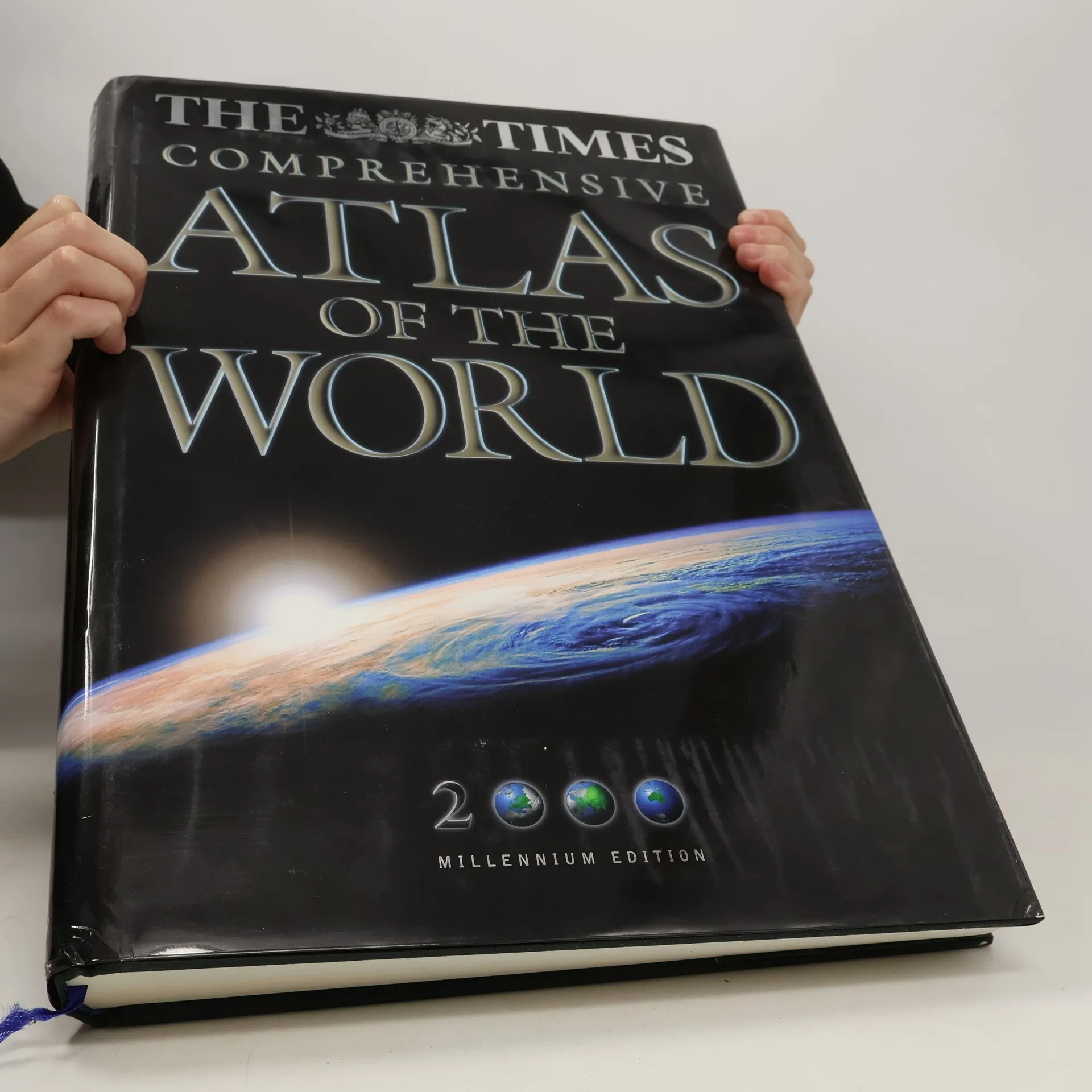
A completely up-to-date edition, this text includes more reference maps and satellite images, and features many more bigger pages and a comprehensive index.
An atlas of the world which provides other information, such as detailed maps of energy use, minerals, vegetation, population density, food production and climate as well as sections on the stars, the solar system and the cosmology of the universe.
Follow the development, decline and later revival of Britain's Railways from bestselling railway author Julian Holland. The history is told through commentary, photographs and archive material from a lifetime of railway research. Britain's railways have claimed many world firsts, ranging from Richard Trevithick's Penydarren of 1802 (the first steam railway locomotive), George Stephenson's Stockton & Darlington Railway of 1825 (the first public railway) and his Liverpool & Manchester Railway (the first inter-city railway) to Nigel Gresley's iconic streamlined locomotives of which Mallard holds the world speed record for steam of 126mph achieved in 1938. Chapters include: * In the Beginning (1603-1825) * The first intercity and trunk railways (1826-1840) * Expansion and Railway Mania (1841-1850) * The Great Victorian Age (1850-1900) * The early 20th century (1901-1922) * The Big Four, streamliners and war (1923-1947) * Nationalisation, rationalisation and modernisation (1948- 1963) * Dr Beeching, contraction and the end of steam (1963-1993) * Privatisation and High-speed (1993 onwards).
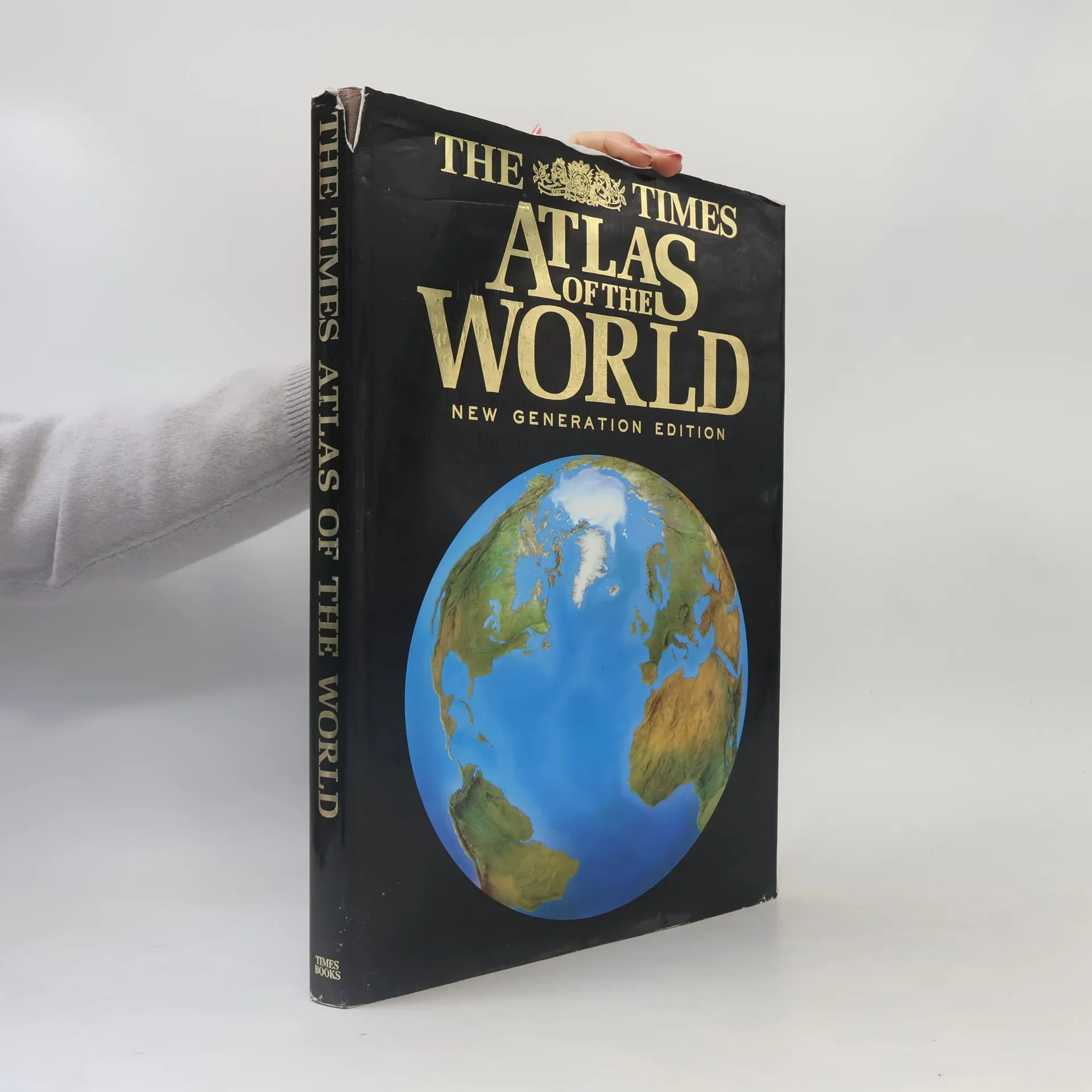
This atlas, the 'New Generation Edition' of the 'Times Atlas of the World', features entirely new mapping. Based on extensive research, this atlas includes the latest information from around the world and incorporates computer generated mapping of unrivalled accuracy and depth of detail. - 96 pages of up-to-date reference maps - 46 maps featuring the world's greatest cities - country by country gazetteer illustrated with national flags for all states and territories - magnificent physical maps of the continents, maps on earthquakes and volcanoes, climate, vegetation, population and energy - index of over 45,000 place names
"All the maps have been completely revised and provide accurate and detailed coverage of the whole world. The introductory section has also been fully updated to present a portrait of today's world and major geographical themes. It includes sattelite images if the continents, revised plans of forty-four of the world's major cities, and information on earthquakes and volcanoes, climate and the environment, population and urbanization."--Jacket
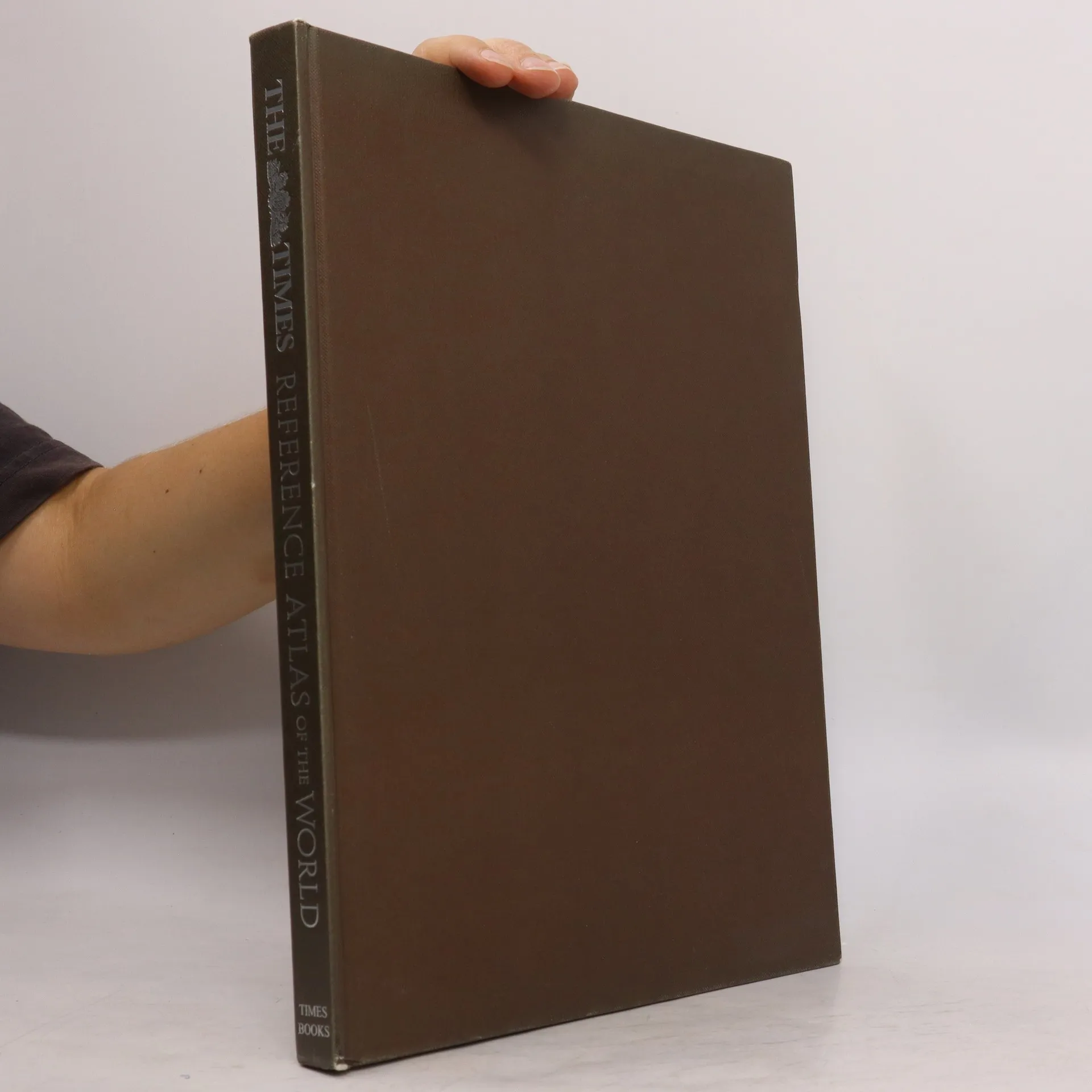
For more than three decades, The Times Atlas of the World has earned international renown for the beauty and legibility of its mapping and its unparalleled detail for coverage of all parts of the globe. As Lord Shackleton, former president of the Royal Geographical Society, said of an earlier edition, it is "the finest reference atlas ever published." Now, The Times Atlas of the World , Tenth Comprehensive Edition , the first completely revised edition since The Times Atlas of the World debuted in 1967, establishes an even higher standard among all reference atlases, and a new benchmark in its own unparalleled tradition. The Tenth Comprehensive Edition opens with stunning satellite images of the continents and the oceans as they appear from space. This preliminary section continues with a series of graphics, photographs, maps, tables, and charts reviewing the cosmos, the natural world, and humanity's interaction with our home planet. Next is a comparative list of Earth's physical features, from rivers to mountains to islands to deserts, and a complete statistical guide to the states and territories of the world. This opening section concludes with a fascinating chronicle on the evolution of world mapping, beginning with our first attempt to map the world more than a thousand years ago. The central section of The Tenth Comprehensive Edition , with 248 pages of breathtakingly detailed reference maps, provides the most accurate and up-to-date visual presentation of geographical knowledge in any atlas today. Each map, drawn with generous scale and projection, has been entirely redesigned since the last edition, using the latest digital technology. While creating maps of optimum accuracy, these new methods also provide enhanced clarity and greater legibility than ever before, even for an atlas that was already legendary for the readability of its maps. In addition to recording the new states and republics created by political upheaval in this last decade before the millennium, The Tenth Comprehensive Edition includes a multitude of renamed towns and cities, along with many revised national borders. The revised and expanded index, covering more than 200,000 place names, is the largest index ever found in a single-volume atlas, virtually ensuring that any location a reader may be looking for will be included in the book. The index is also unique in scope, giving the name, description, regional and country locations, the map grid reference, page number, and latitude and longitude. No other atlas comes close to providing such an index, either in sheer numbers or in reference value. In the last three decades, The Times Atlas of the World has been in the vanguard of a revolution in the science of cartography, replacing maps formerly created on hand-etched copper plates with maps that are computer-generated. The Times Atlas of the World, Tenth Comprehensive Edition , represents the fullest flowering yet of this remarkable revolution in cartography. It is the finest atlas ever published, sure to be treasured by students, scholars, armchair travelers, global sightseers, and anyone seeking better understanding of our dynamic planet.
New title in the authoritative and prestigious Times world atlas range. This stunning reference atlas provides the accuracy of a Times Atlas at an affordable price. A completely new edition of a world atlas in the most prestigious atlas range in the world. 170 pages of mapping provide an amazingly detailed view of the world with detailed geographical information beside each map giving the reader a greater understanding of each area. FULLY UP-TO-DATE MAPPING The reference mapping, produced in the beautifully clear and distinctive Times style has been completely updated with thousands of changes reflecting recent geopolitical and geographical change around the world. As with all atlases in the Times range it offers great authority, outstanding quality and attention to detail. MAIN FEATURES / A unique collection of maps from the last 150 years of Times atlases will be included in a historical mapping section. This feature is a first for world atlases and will dramatically illustrate the rapidly changing world we live in. / The latest satellite images will be showcased in the imagery section with 32 pages of stunning images./ Updated plans of 32 of the world's great cities are also included. / Geographical reference section with flags, statistics and facts for all the world's countries. / Comprehensive index to over 50,000 place names.
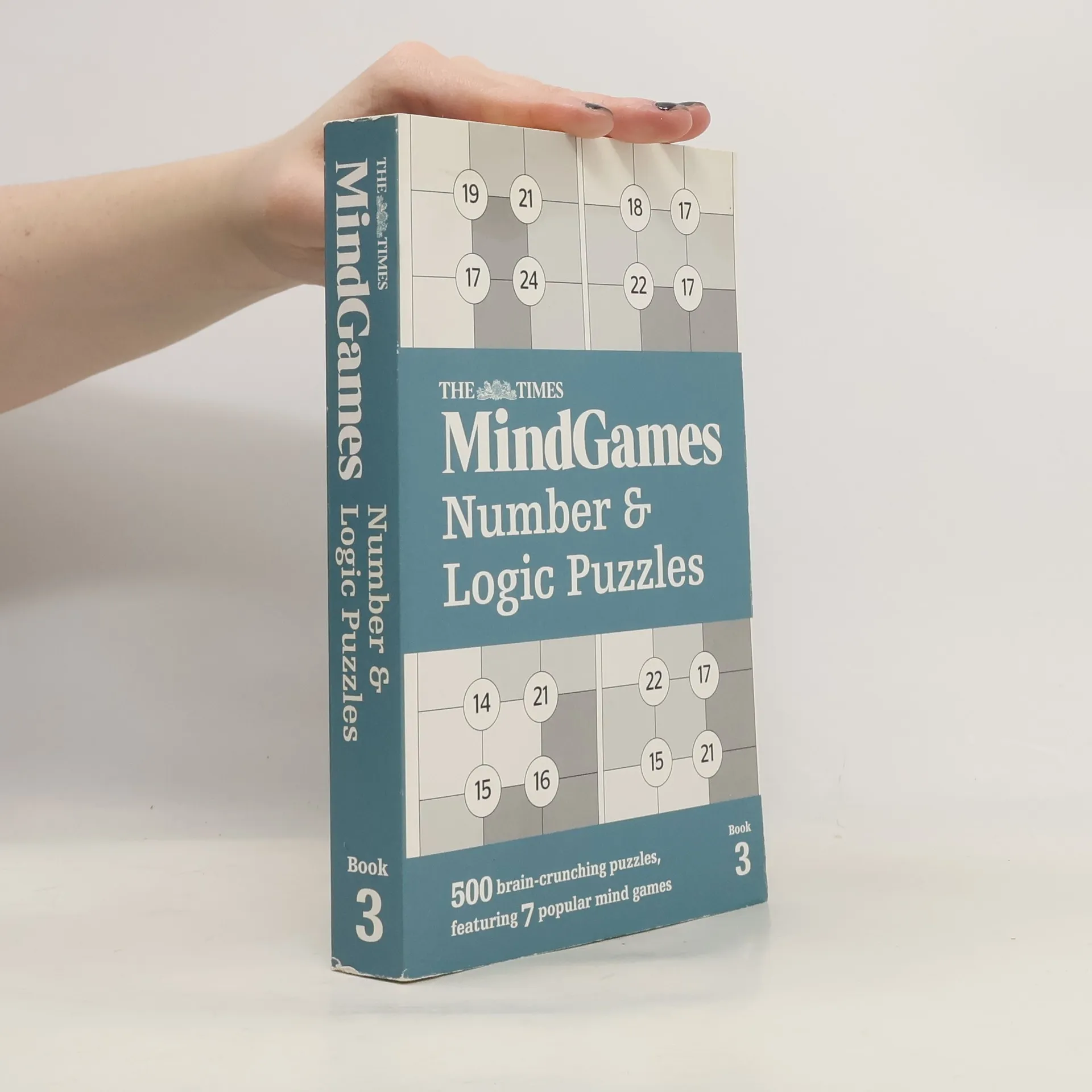
Test your powers of logic and mental agility with this latest mixed collection of 500 number and logic puzzles from the MindGames section of The Times, featuring 7 different puzzles.