

Ordnance Survey Ireland Książki
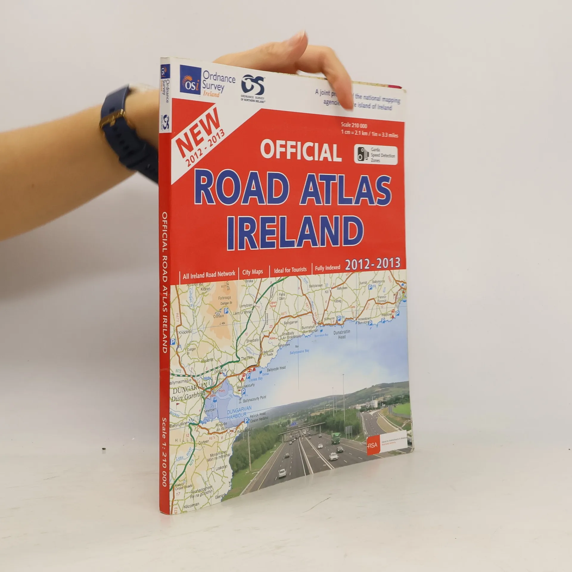
Ireland Touring Map, Ordnance Survey Ireland fold out map with cover. Detailed road network, holiday information, scenic routes and city maps with a city, town and village index.
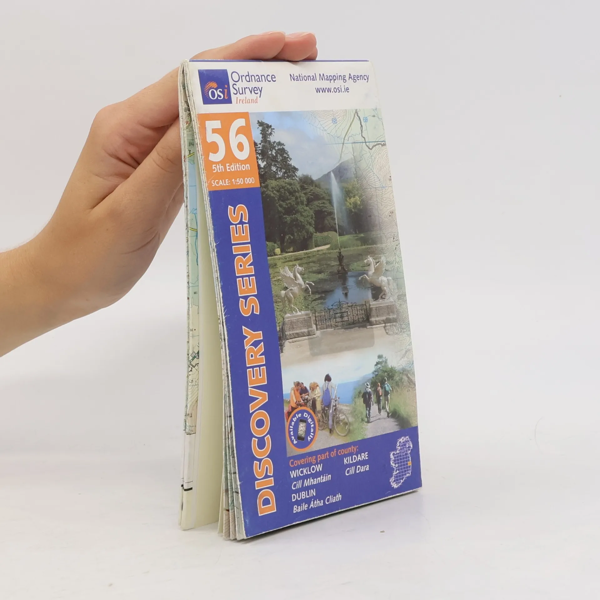
Irish Discovery Series - 56: Wicklow, Dublin, Kildare
5th Edition, Scale: 1:50 000
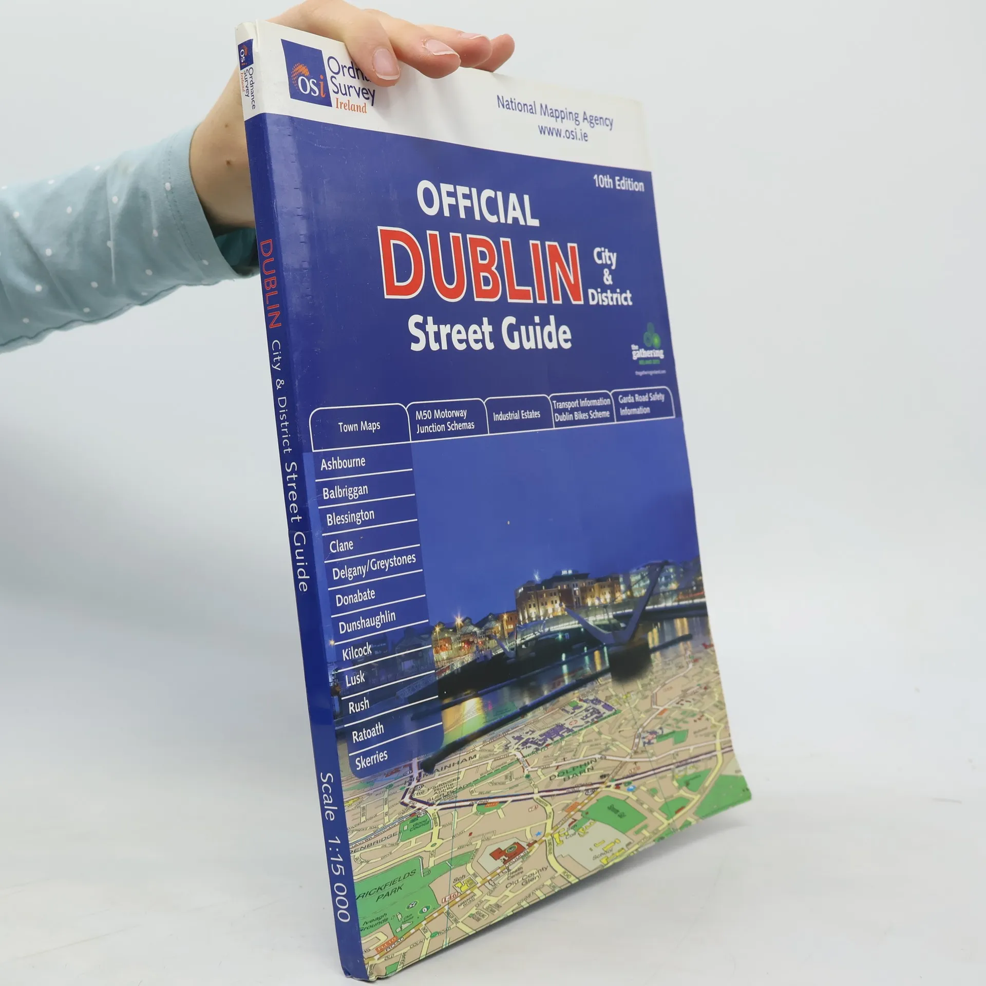
Covers an area from Malahide, Swords, Dunboyne, Maynooth, Celbridge, Rathcoole, Glencullen, Enniskerry, and Bray at 1:15,000 (1 cm = 150 m). Shows city centre at 1:7,500 (1 cm = 75 m). Includes plans at 1:10,000 (1 cm = 100 m) of Ashbourne, Balbriggan, Blessington, Clane, Delganey & Greystones, Donabate, Dunshaughlin, Kilcock, Lusk, Rush, Ratoath and Skerries. Shows industrial estates, factories, public buildings, paths and access in outline, speed detection zones, as well as bus routes and termini. Includes route planner, map of M50 road junctions, Garda road safety information, and map of DART, Luas and suburban rail network, and information from Dublin city Council on HGV restrictions, cycling, and bus corridors. City centre maps show one-way streets, hospitals, cinemas, theatres, Dublin bicycle stations, etc. Also includes lists of embassies, industrial estates and business parks, hospitals, as well as a street index.