

Bookbot

Hema Maps Australia Staff

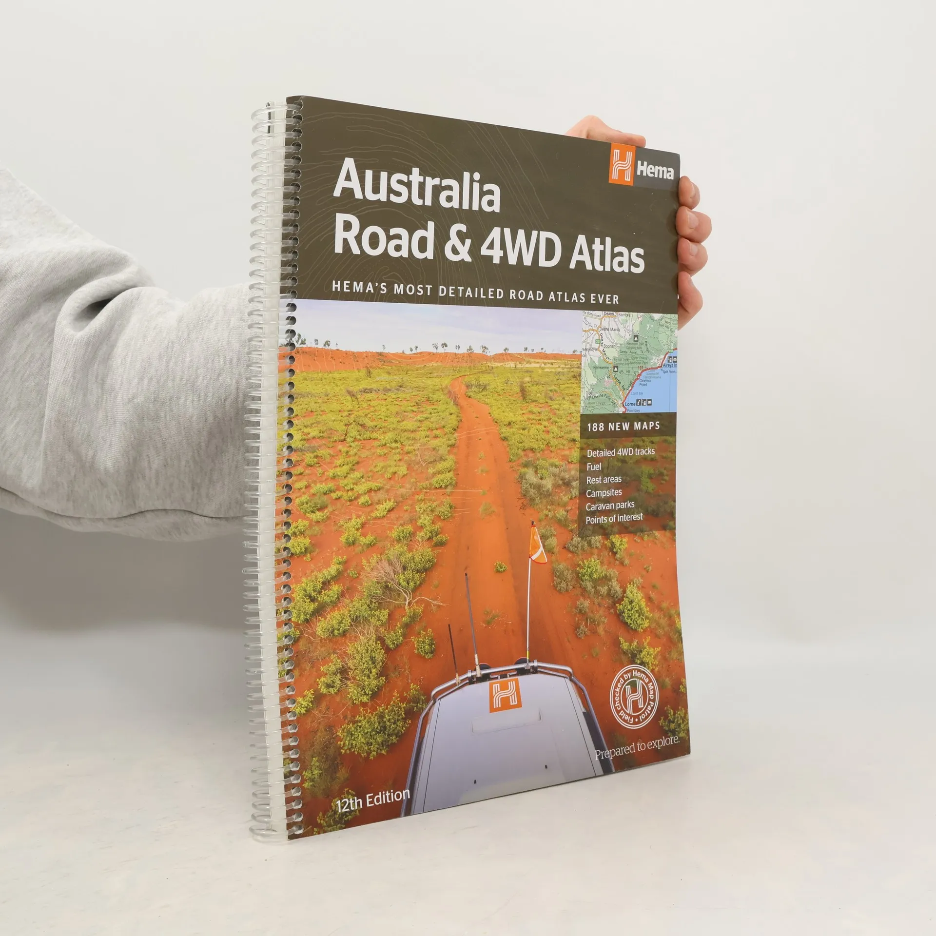
    Australia Road & 4WD Atlas
    Discover Fraser Island
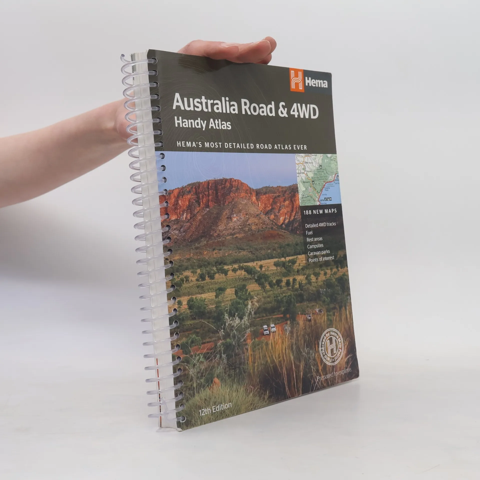
    Australia Road and 4WD Handy Atlas - 12th Edition
    • Featuring trusted Hema mapping for all of Australia, the Hema Road & 4WD Handy Atlas is the definitive travel guide for tourers and adventurers. Hema atlases feature more information useful to travellers, including 4WD tracks, campsites, caravan parks, rest areas, 24-hour fuel and points of interest. The new edition contains more mapping than ever before, which is enhanced by a striking new cartographic style that¿s incredibly easy to read. Included in this is up-to-date mapping for Australia¿s biggest 4WD destinations: Cape York, Fraser Island, the Top End, the Kimberley, the Pilbara, Central Australia, High Country Victoria and the Flinders Ranges. A handy distance grid, national park guide, list of accredited information centres and a complete index are also included to assist with trip planning and navigation, making it the perfect tool for guiding tourers, campers, road trippers and off-roaders throughout Australia.

      Australia Road and 4WD Handy Atlas - 12th Edition
      4,4
    • Discover Fraser Island

      Your Guide to a Complete Fraser Island Experience

      • 128 stron
      • 5 godzin czytania

      Travel guide to Fraser Island. Covers planning the trip, where to stay, getting there, getting around, what to see and do on the island, and background information on the region. Full-colour illustrations throughout. Includes maps and index.

      Discover Fraser Island
    • Australia Road & 4WD Atlas

      HEMAs Most Detailed Road Atlas Ever With 188 New Maps - 12th Edition - Spiral Bound

      • 224 strony
      • 8 godzin czytania

      Featuring trusted Hema mapping for all of Australia, the Hema Road & 4WD Atlas is the definitive travel guide for tourers and adventurers. Hema atlases feature more information useful to travellers, including 4WD tracks, campsites, caravan parks, rest areas, 24-hour fuel and points of interest. The new edition contains more mapping than ever before, which is enhanced by a striking new cartographic style that¿s incredibly easy to read. Included in this is up-to-date mapping for Australia¿s biggest 4WD destinations: Cape York, Fraser Island, the Top End, the Kimberley, the Pilbara, Central Australia, High Country Victoria and the Flinders Ranges. A handy distance grid, national park guide, list of accredited information centres and a complete index are also included to assist with trip planning and navigation, making it the perfect tool for guiding tourers, campers, road trippers and off-roaders throughout Australia.

      Australia Road & 4WD Atlas