

Parametry
Więcej o książce
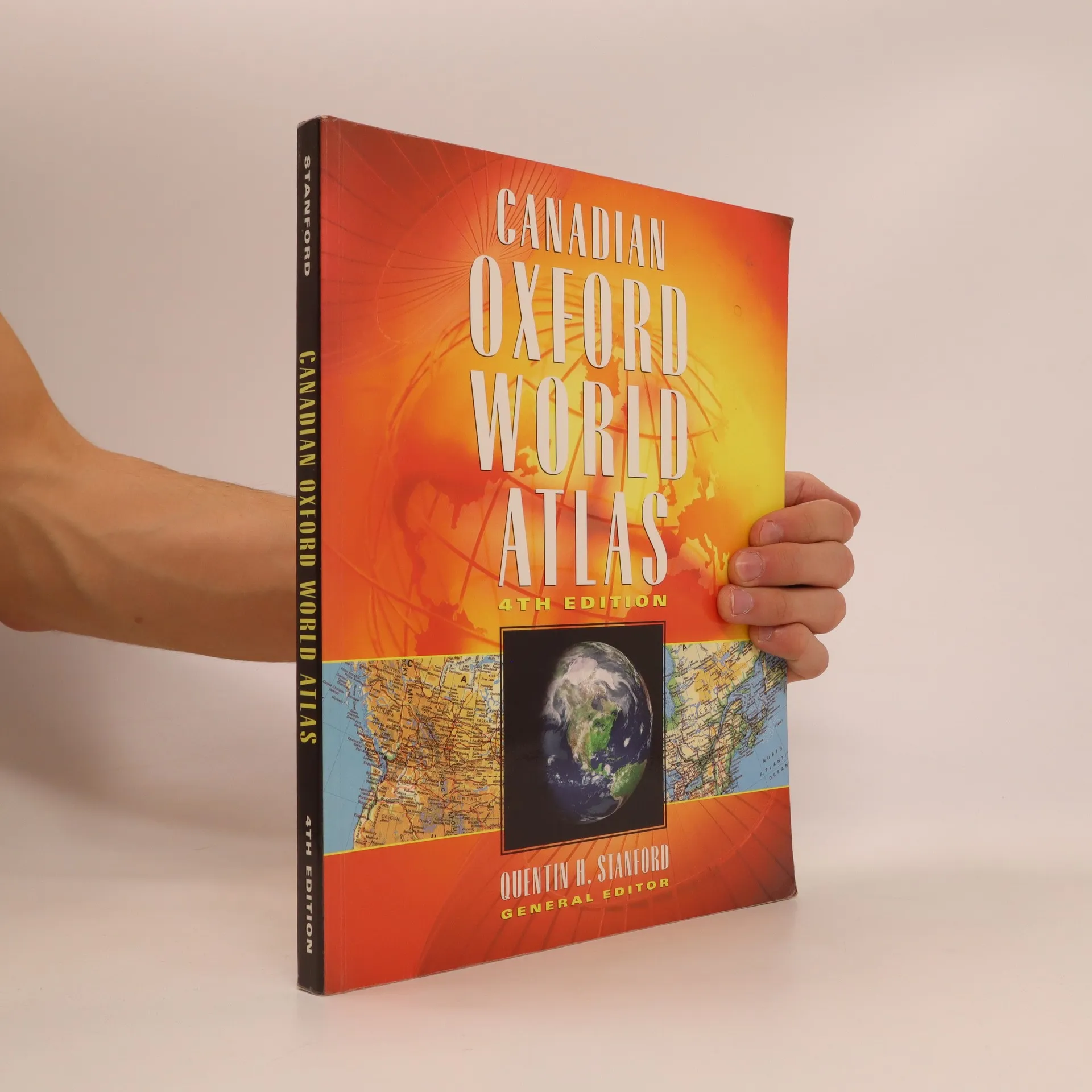
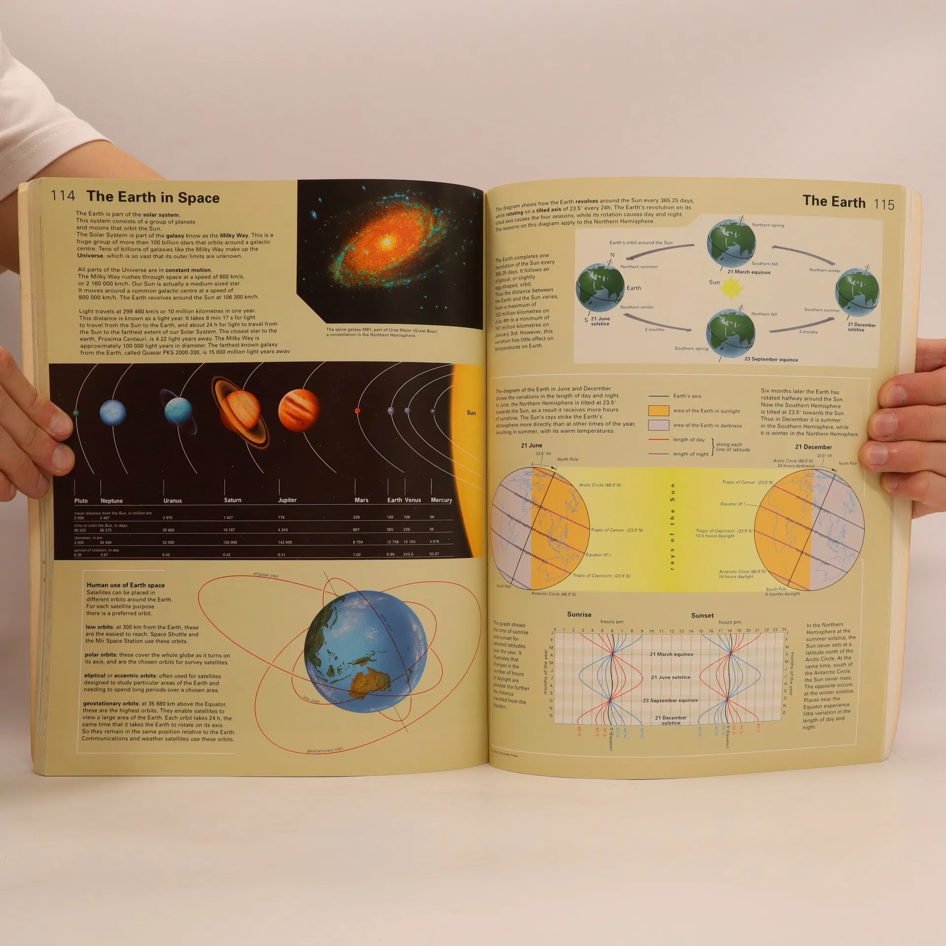
The fourth edition of the Canadian Oxford World Atlas is completely up-to-date, based on statistics from the 1996 Census. New developments in cartography have resulted in many maps being re-drawn to reflect greater accuracy and more vibrant colours. Whilst most of the standard maps thatproved popular in earlier editions have been retained, such as the provincial maps of every province in Canada, some exciting new maps have been added and of course, any changes to country names and boundaries have been included.New to this edition: double-page time zone map, many new satellite images covering every region of Canada as well as many parts of the world, new Native Peoples map, new maps on territorial evolution and arctic, western and eastern exploration, completely redrawn land-use maps that containconsiderably more information than in previous editions, a new map of the Western USA, more detailed maps of the oceans and ocean currents, earth and space maps, new Canadian trade map, new world maps featuring cultural economic systems, international alliances, religion, and language
Zakup książki
Canadian Oxford World Atlas, Quentin H Stanford
- Język

- Rok wydania
- 1998
- Oprawa
- (miękka)
Metody płatności
Nikt jeszcze nie ocenił.
- Tytuł
- Canadian Oxford World Atlas
- Język
- angielski
- Autorzy
- Quentin H Stanford
- Wydawca
- Oxford University Press
- Rok wydania
- 1998
- Oprawa
- miękka
- ISBN10
- 0195413202
- ISBN13
- 9780195413205
- Seria
- Kategorie
- Tagi
- Encyklopedie
- Opis
- The fourth edition of the Canadian Oxford World Atlas is completely up-to-date, based on statistics from the 1996 Census. New developments in cartography have resulted in many maps being re-drawn to reflect greater accuracy and more vibrant colours. Whilst most of the standard maps thatproved popular in earlier editions have been retained, such as the provincial maps of every province in Canada, some exciting new maps have been added and of course, any changes to country names and boundaries have been included.New to this edition: double-page time zone map, many new satellite images covering every region of Canada as well as many parts of the world, new Native Peoples map, new maps on territorial evolution and arctic, western and eastern exploration, completely redrawn land-use maps that containconsiderably more information than in previous editions, a new map of the Western USA, more detailed maps of the oceans and ocean currents, earth and space maps, new Canadian trade map, new world maps featuring cultural economic systems, international alliances, religion, and language