

Więcej o książce
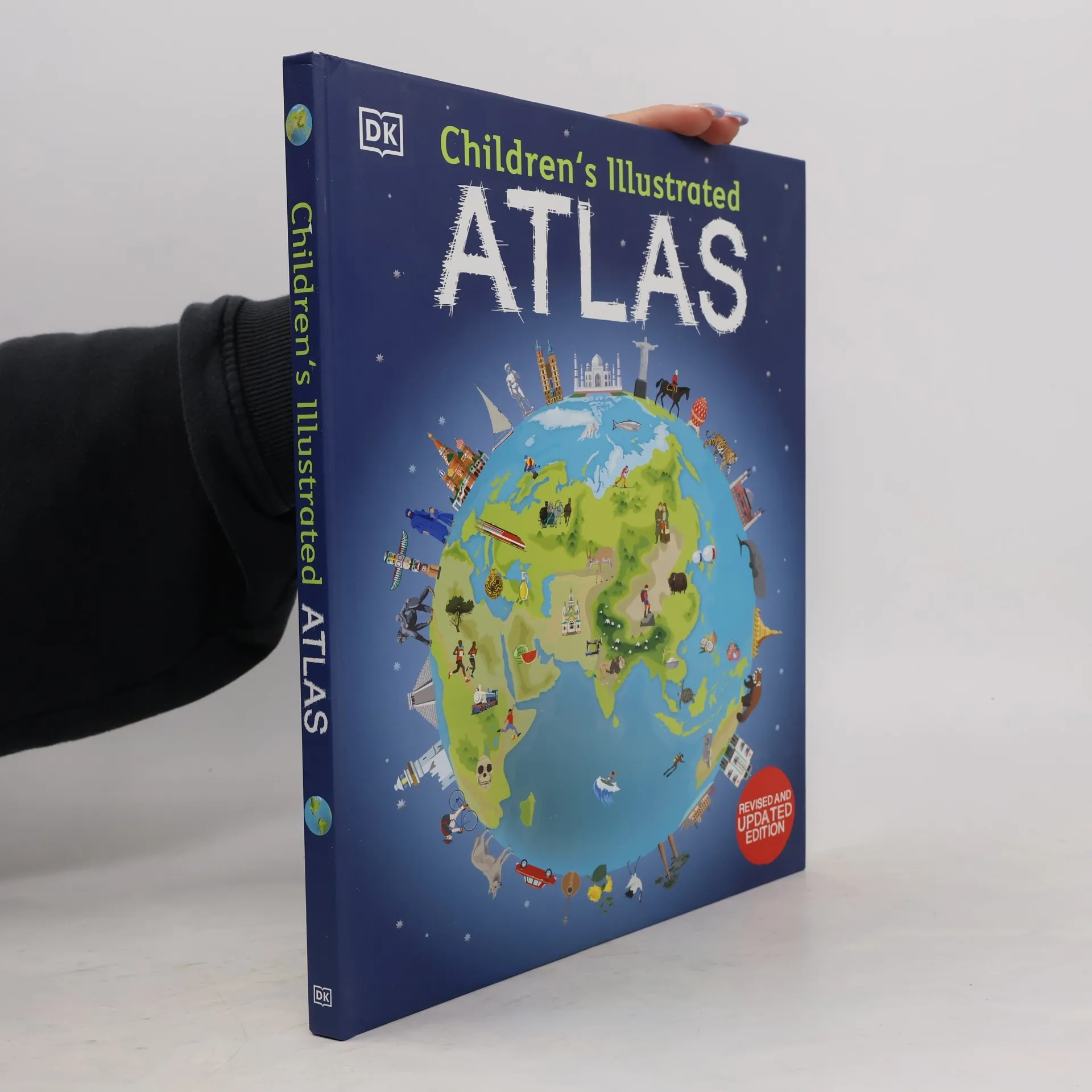
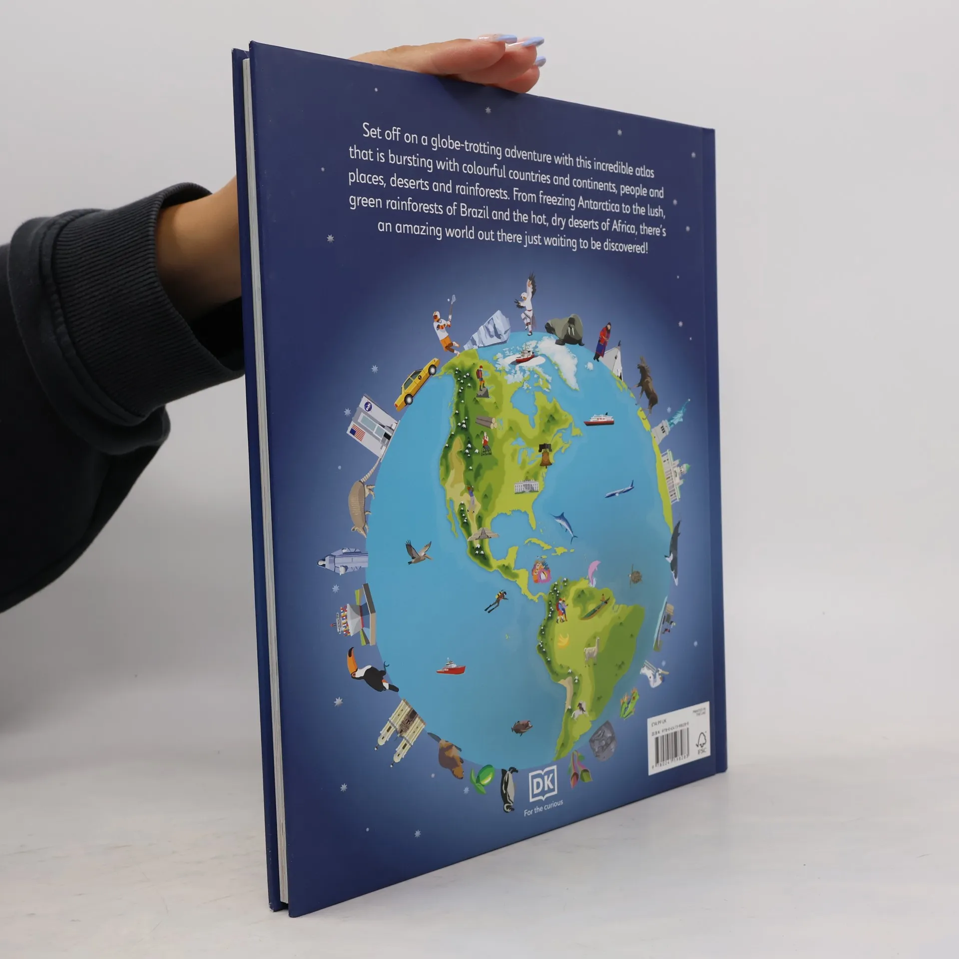
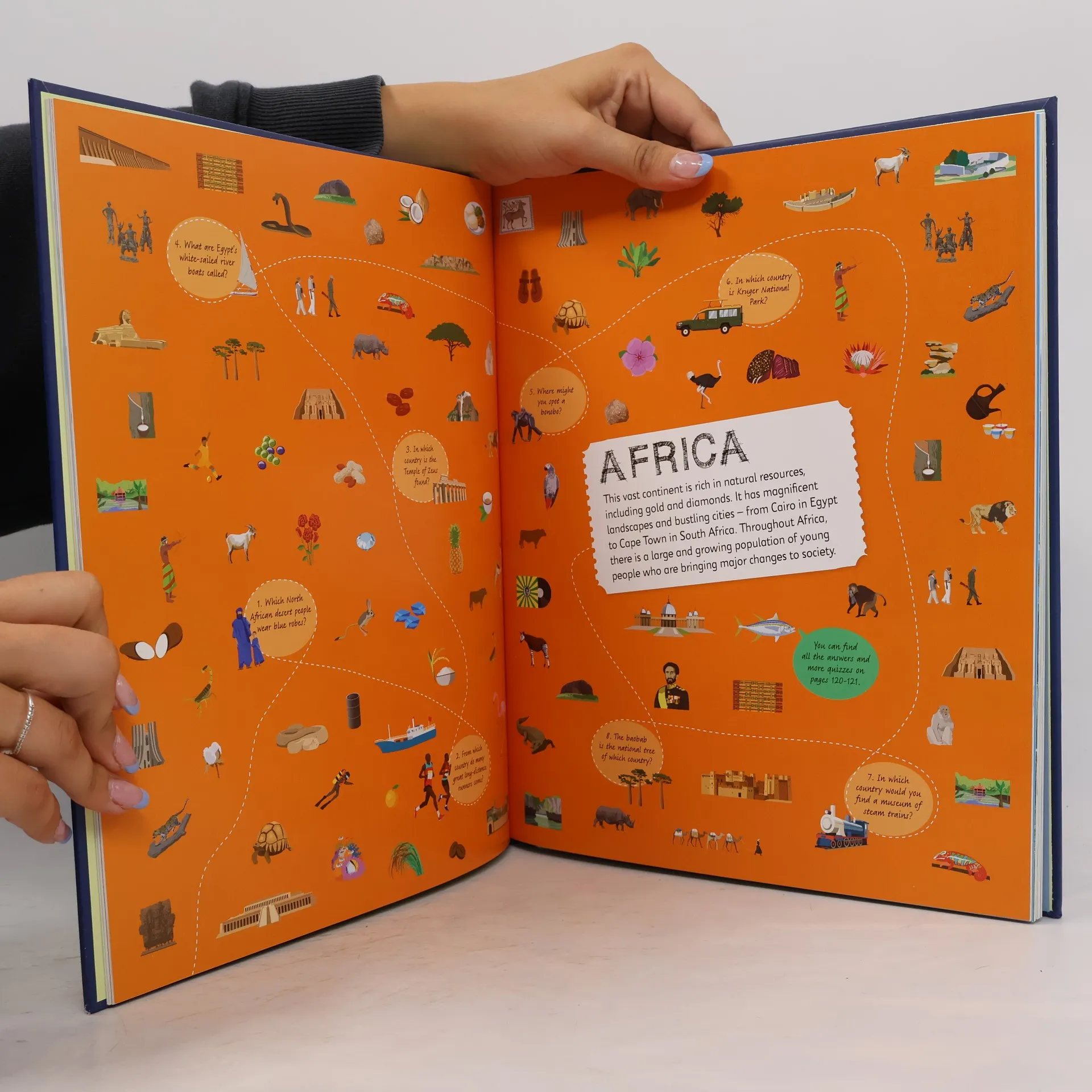
This picture atlas takes young readers on a visual journey around the world, showcasing continents and countries through stunning photography and illustrations. Discover incredible geographical features, wildlife, culture, history, and landmarks in detail. With over 50 fascinating maps filled with fun facts and fresh images, children will learn about climate, populations, places, and industries. Picture stories enhance the maps, from the Amazon's giant river to the Arctic's frozen icebergs, revealing the richness and diversity of life globally. Each map highlights countries, capitals, famous landmarks, longest rivers, and highest mountains. This educational resource teaches young explorers how to read maps and use keys, compasses, and scales, making it ideal for classroom use, home learning, or armchair exploration. It serves as a perfect reference for kids interested in both nearby lands and distant oceans, and it makes a fantastic gift for adventurous children. Without leaving home, readers can explore over 50 stunning world maps, learn map-reading skills, travel through beautiful photography and illustrations, and dive into intriguing facts about the world's population. Charming and informative, this atlas is a delightful addition to any child's library, complementing other titles like the Children's Illustrated Animal Atlas and the Children's Illustrated History Atlas.


Zakup książki
Children's Illustrated Atlas, Dorling Kindersley
- Język

- Rok wydania
- 2023
- Oprawa
- (twarda)
Metody płatności
Brakuje nam tutaj Twojej recenzji.
- Tytuł
- Children's Illustrated Atlas
- Język
- angielski
- Autorzy
- Dorling Kindersley
- Wydawca
- Dorling Kindersley Ltd
- Rok wydania
- 2023
- Oprawa
- twarda
- Liczba stron
- 128
- ISBN10
- 0241598281
- ISBN13
- 9780241598283
- Seria
- Kategorie
- Tagi
- Poradniki
- Ocena
- 4,75 z 5
- Opis
- This picture atlas takes young readers on a visual journey around the world, showcasing continents and countries through stunning photography and illustrations. Discover incredible geographical features, wildlife, culture, history, and landmarks in detail. With over 50 fascinating maps filled with fun facts and fresh images, children will learn about climate, populations, places, and industries. Picture stories enhance the maps, from the Amazon's giant river to the Arctic's frozen icebergs, revealing the richness and diversity of life globally. Each map highlights countries, capitals, famous landmarks, longest rivers, and highest mountains. This educational resource teaches young explorers how to read maps and use keys, compasses, and scales, making it ideal for classroom use, home learning, or armchair exploration. It serves as a perfect reference for kids interested in both nearby lands and distant oceans, and it makes a fantastic gift for adventurous children. Without leaving home, readers can explore over 50 stunning world maps, learn map-reading skills, travel through beautiful photography and illustrations, and dive into intriguing facts about the world's population. Charming and informative, this atlas is a delightful addition to any child's library, complementing other titles like the Children's Illustrated Animal Atlas and the Children's Illustrated History Atlas.