

Więcej o książce
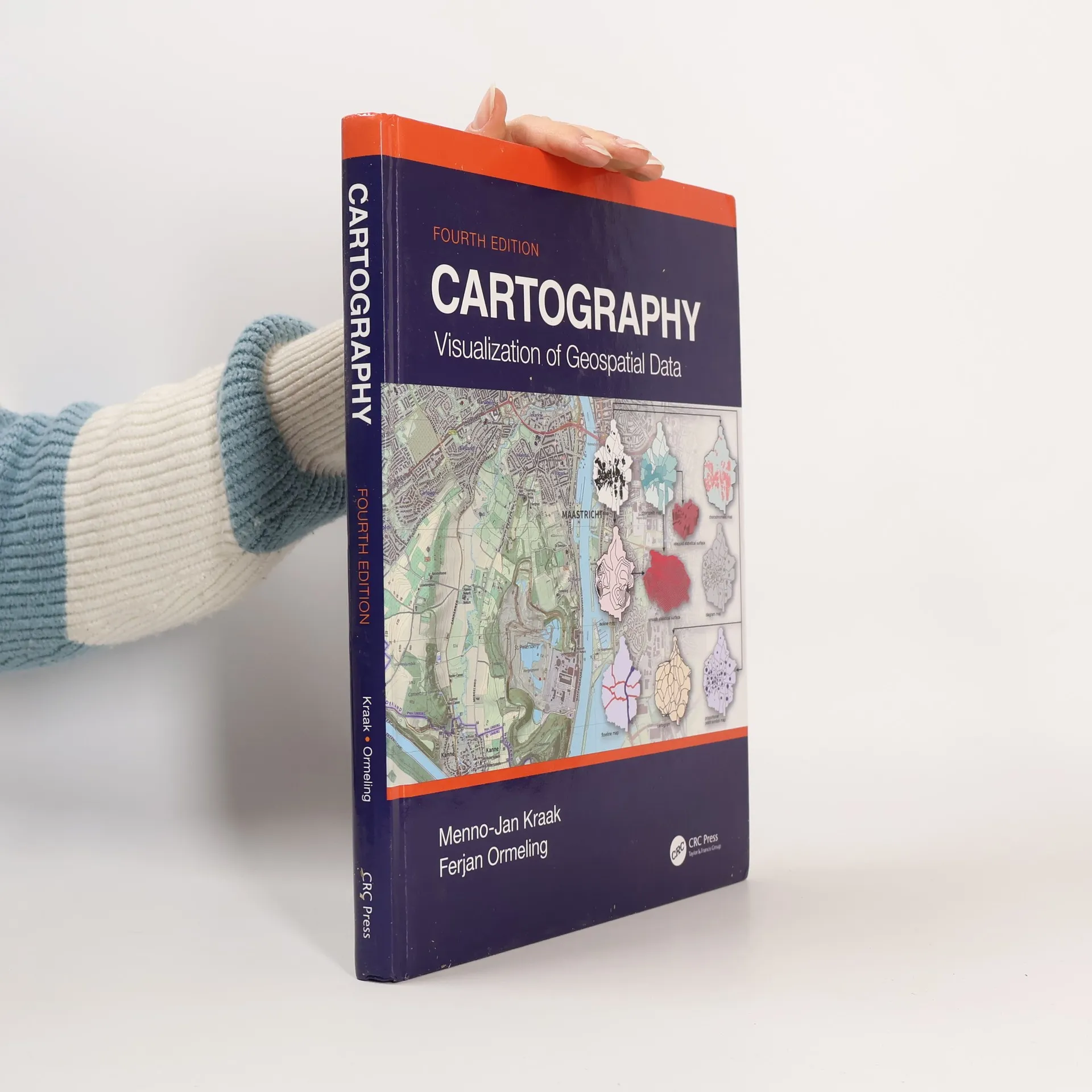
This Fourth Edition of Cartography: Visualization of Geospatial Data is a comprehensive introduction to cartographic principles, focusing on optimizing the visualization and use of spatiotemporal data. Fully revised, it reflects the latest developments in mapping, including OpenStreetMap, GPS-based crowdsourcing, and new web mapping technologies, while incorporating updated case studies and examples. Now presented in full color, this edition equips students with essential skills to read and interpret maps, and serves as a valuable reference for professional cartographers. Authored by leading scholars in the field, it is ideal for senior undergraduate and graduate students in GIS and cartography courses. Key features of this edition include an introduction to cartographic visualization principles through vibrant figures and images, discussion of significant changes in data sources and methodologies, and a focus on the shift towards open data systems. Additionally, it presents new case studies illustrating current mapping trends and offers a societal and institutional framework for future mapmakers, aligned with UN global development sustainability goals.


Zakup książki
Cartography, M J Kraak, Ferjan Ormeling
- Język

- Rok wydania
- 2020
- Oprawa
- (twarda)
Metody płatności
Brakuje nam tutaj Twojej recenzji.
- Tytuł
- Cartography
- Podtytuł
- Visualization of Geospatial Data, Fourth Edition
- Język
- angielski
- Autorzy
- M J Kraak, Ferjan Ormeling
- Wydawca
- CRC Press
- Rok wydania
- 2020
- Oprawa
- twarda
- Liczba stron
- 245
- ISBN10
- 1138613959
- ISBN13
- 9781138613959
- Seria
- Kategorie
- Tagi
- Poradniki
- Ocena
- 4,2 z 5
- Opis
- This Fourth Edition of Cartography: Visualization of Geospatial Data is a comprehensive introduction to cartographic principles, focusing on optimizing the visualization and use of spatiotemporal data. Fully revised, it reflects the latest developments in mapping, including OpenStreetMap, GPS-based crowdsourcing, and new web mapping technologies, while incorporating updated case studies and examples. Now presented in full color, this edition equips students with essential skills to read and interpret maps, and serves as a valuable reference for professional cartographers. Authored by leading scholars in the field, it is ideal for senior undergraduate and graduate students in GIS and cartography courses. Key features of this edition include an introduction to cartographic visualization principles through vibrant figures and images, discussion of significant changes in data sources and methodologies, and a focus on the shift towards open data systems. Additionally, it presents new case studies illustrating current mapping trends and offers a societal and institutional framework for future mapmakers, aligned with UN global development sustainability goals.