

Więcej o książce
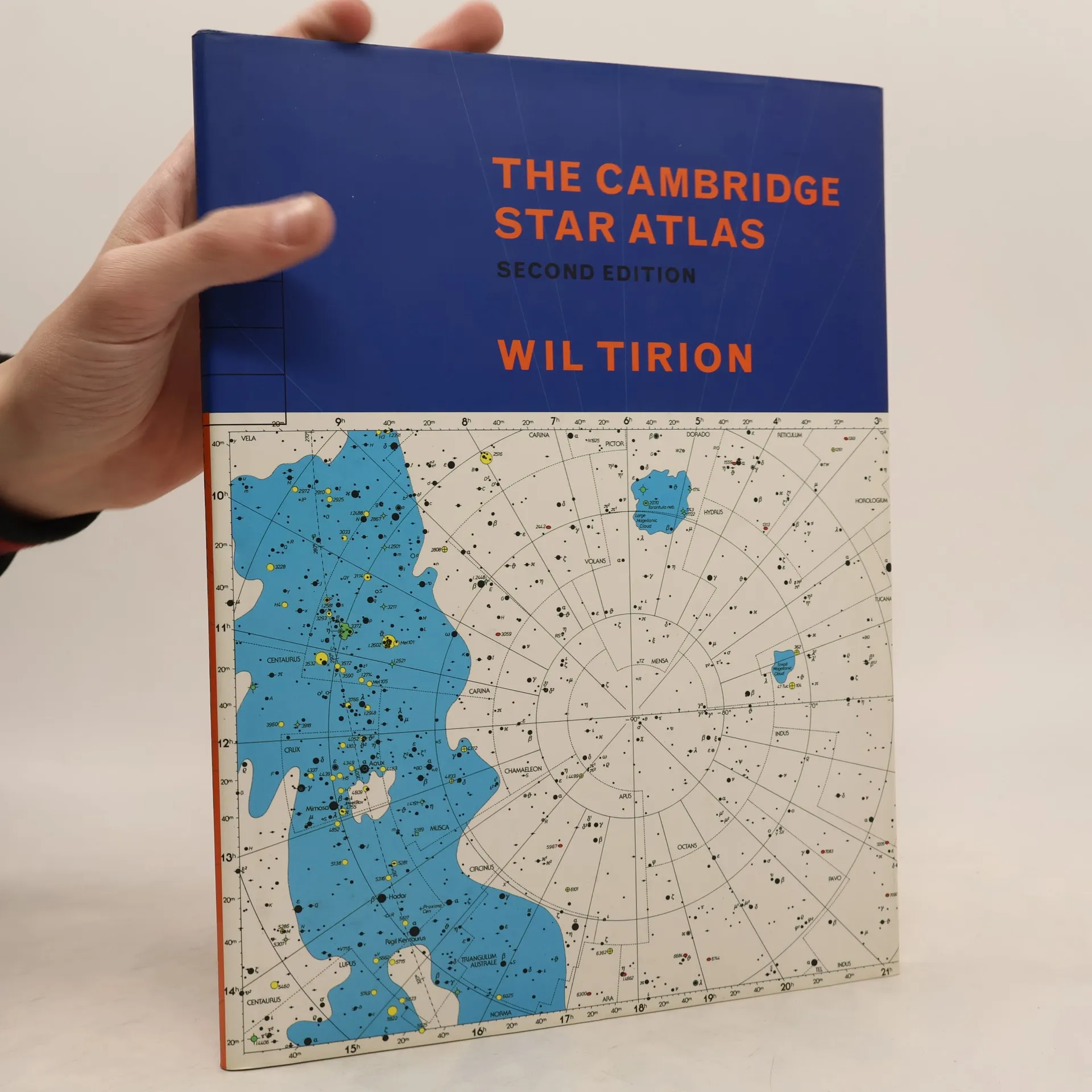
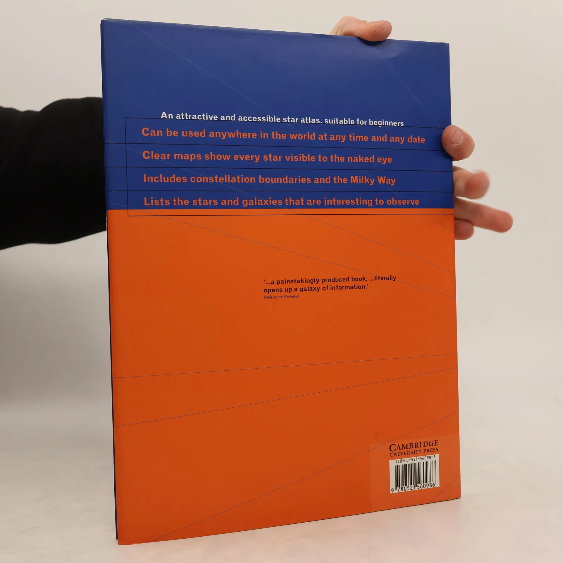
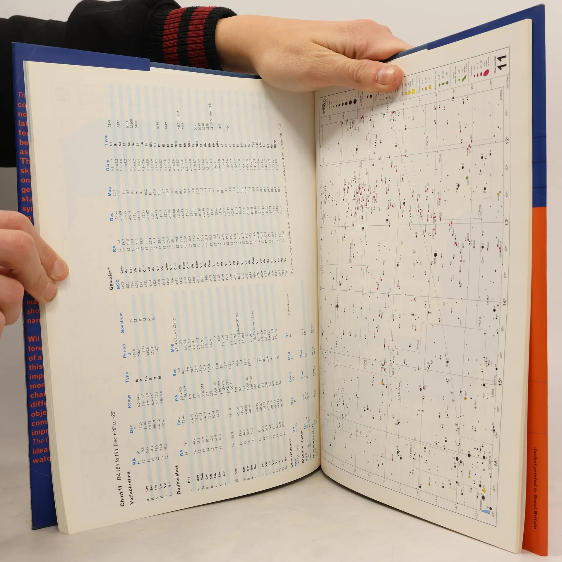
Developed by one of the foremost designers of astonomical maps, The Cambridge Star Atlas offers an unusual degree of breadth and detail for amateur and experienced astronomers. Northern and southern latitudes are included in a series of monthly sky charts and an atlas of the whole sky. Each of the 20 overlapping full color charts shows stars down to magnitude 6.5, together with about 900 nonstellar objects, such as clusters and galaxies, which can be seen with binoculars or a small telescope. This new edition features 52 color maps, improved versions of all the charts, and a thorough revision of the text and star data based on the latest information. In addition, there is a comprehensive double page map of the Moon's surface, which shows craters and other named features. Clear, authoritative, and easy-to-use, The Cambridge Star Atlas is an ideal reference for sky watchers everywhere, throughout the year. Wil Tirion began his first star atlas as a hobby, mapping the whole sky on five maps. It was published in the Encyclopedia of Astronomy and soon after was released as a separate set of maps by the British Astronomical Association. In 1983, Tirion began working as a full-time uranographer, or sky cartographer. Since then, he has contributed to many books and magazines on astronomy. He lives in the Netherlands.



Zakup książki
The Cambridge Star Atlas, Wil Tirion
- Język

- Rok wydania
- 1996
- Oprawa
- (twarda)
Metody płatności
Brakuje nam tutaj Twojej recenzji.
- Tytuł
- The Cambridge Star Atlas
- Podtytuł
- Second Edition
- Język
- angielski
- Autorzy
- Wil Tirion
- Wydawca
- Cambridge University Press
- Rok wydania
- 1996
- Oprawa
- twarda
- Liczba stron
- 96
- ISBN10
- 0521560985
- ISBN13
- 9780521560986
- Seria
- Tagi
- Nauki przyrodnicze, Poradniki, Nauka, Kosmos
- Ocena
- 4,2 z 5
- Opis
- Developed by one of the foremost designers of astonomical maps, The Cambridge Star Atlas offers an unusual degree of breadth and detail for amateur and experienced astronomers. Northern and southern latitudes are included in a series of monthly sky charts and an atlas of the whole sky. Each of the 20 overlapping full color charts shows stars down to magnitude 6.5, together with about 900 nonstellar objects, such as clusters and galaxies, which can be seen with binoculars or a small telescope. This new edition features 52 color maps, improved versions of all the charts, and a thorough revision of the text and star data based on the latest information. In addition, there is a comprehensive double page map of the Moon's surface, which shows craters and other named features. Clear, authoritative, and easy-to-use, The Cambridge Star Atlas is an ideal reference for sky watchers everywhere, throughout the year. Wil Tirion began his first star atlas as a hobby, mapping the whole sky on five maps. It was published in the Encyclopedia of Astronomy and soon after was released as a separate set of maps by the British Astronomical Association. In 1983, Tirion began working as a full-time uranographer, or sky cartographer. Since then, he has contributed to many books and magazines on astronomy. He lives in the Netherlands.