

Więcej o książce
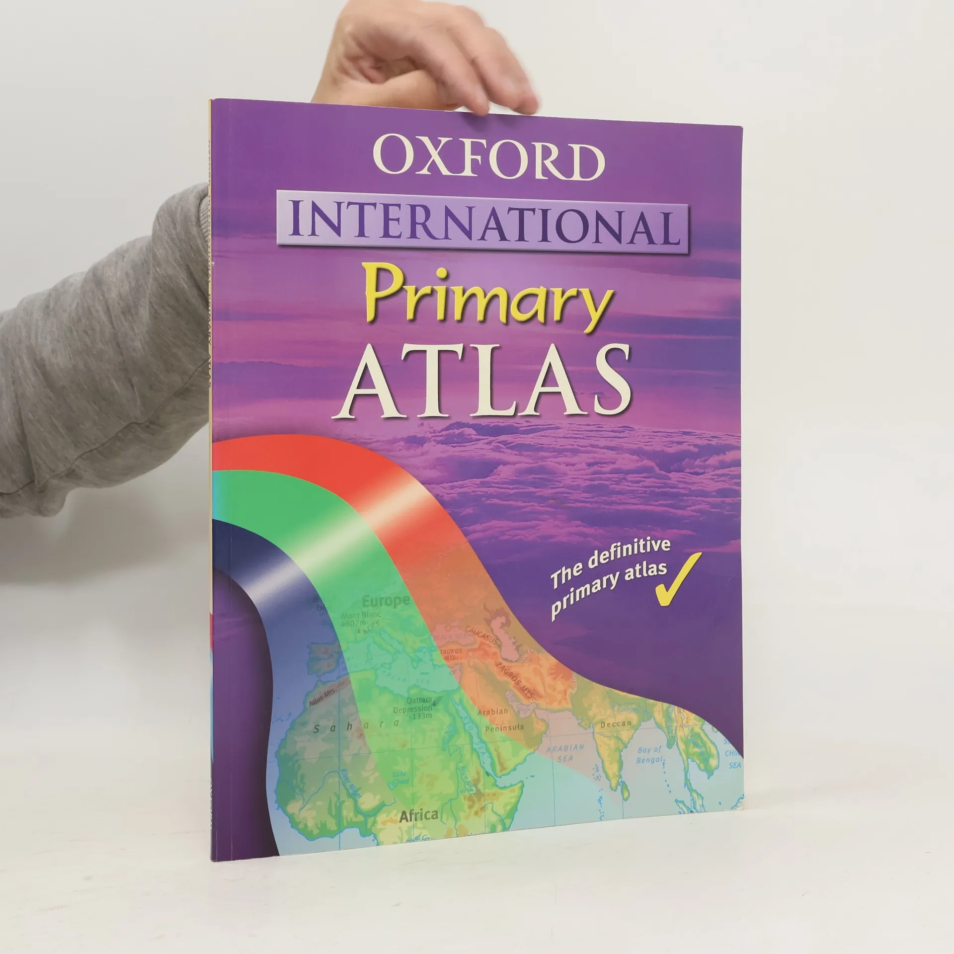
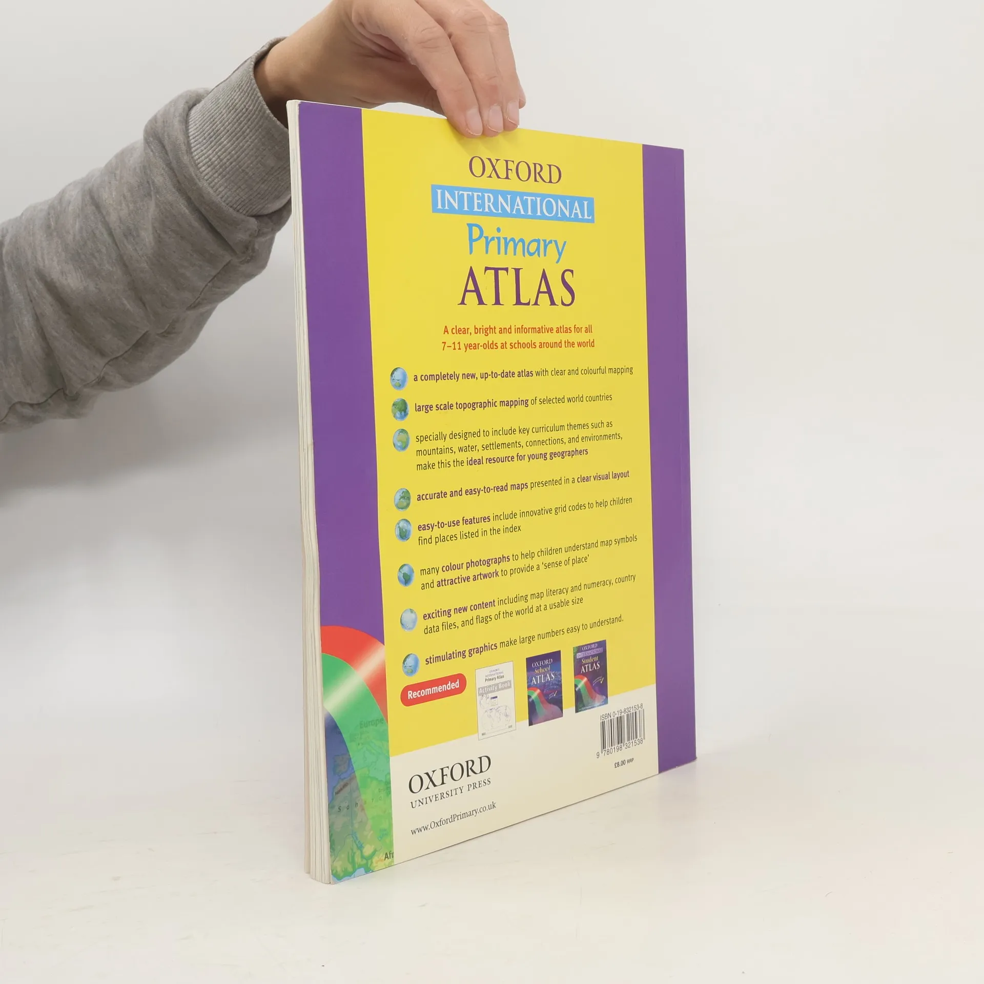
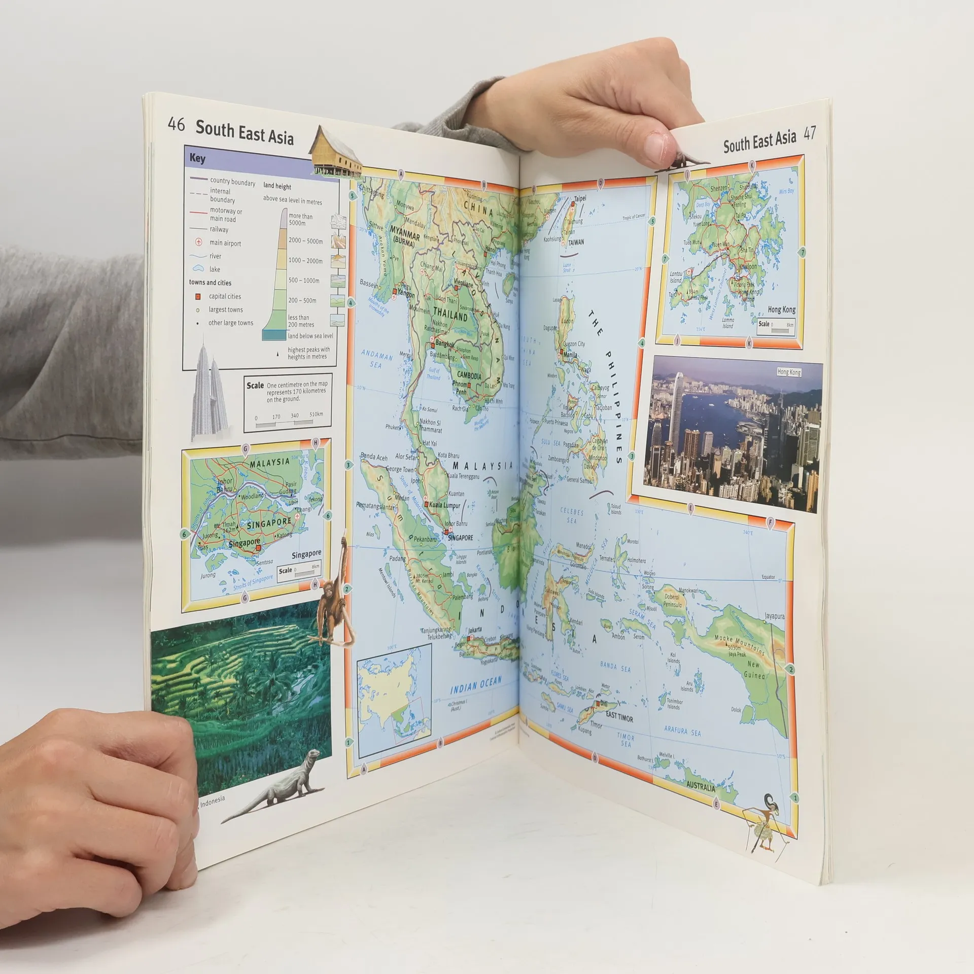
The Oxford International Primary Atlas is a clear, bright and informative atlas for all 7-11 year olds. It is a completely new, up-to-date atlas with accurate, easy-to-read and colourful mapping, presented in a tidy visual layout based on evidence for children's thinking with maps. It hasselected topographic content for areas with significant overseas and English language teaching (eg. Europe, Malta, Cyprus, Middle East, Malaysia, Hong Kong). World maps specially designed to include key curriculum themes such as mountains, water, settlements, connections, and environments. Itincorporates easy-to-use features including innovative grid codes to help children find places listed in the index, many colourful photographs to aid children's understanding of map symbols, attractive artwork to provide a 'sense of place', and stimulating graphics to make large numbers easy tounderstand. The exciting new content includes map literacy and numeracy, country data files, and flags of the world at a usable size.


Zakup książki
Oxford International Primary Atlas, Dr Patrick Wiegand
- Język

- Rok wydania
- 2005
- Oprawa
- (miękka)
Metody płatności
Brakuje nam tutaj Twojej recenzji.
- Tytuł
- Oxford International Primary Atlas
- Język
- angielski
- Autorzy
- Dr Patrick Wiegand
- Wydawca
- Oxford University Press, USA
- Rok wydania
- 2005
- Oprawa
- miękka
- Liczba stron
- 80
- ISBN10
- 0198321538
- ISBN13
- 9780198321538
- Seria
- Kategorie
- Tagi
- Ocena
- 3 z 5
- Opis
- The Oxford International Primary Atlas is a clear, bright and informative atlas for all 7-11 year olds. It is a completely new, up-to-date atlas with accurate, easy-to-read and colourful mapping, presented in a tidy visual layout based on evidence for children's thinking with maps. It hasselected topographic content for areas with significant overseas and English language teaching (eg. Europe, Malta, Cyprus, Middle East, Malaysia, Hong Kong). World maps specially designed to include key curriculum themes such as mountains, water, settlements, connections, and environments. Itincorporates easy-to-use features including innovative grid codes to help children find places listed in the index, many colourful photographs to aid children's understanding of map symbols, attractive artwork to provide a 'sense of place', and stimulating graphics to make large numbers easy tounderstand. The exciting new content includes map literacy and numeracy, country data files, and flags of the world at a usable size.