

Więcej o książce
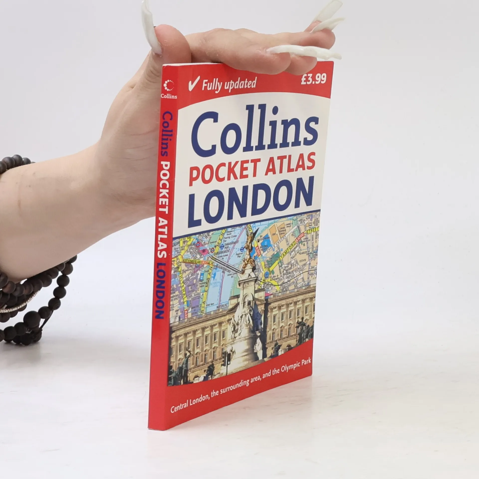
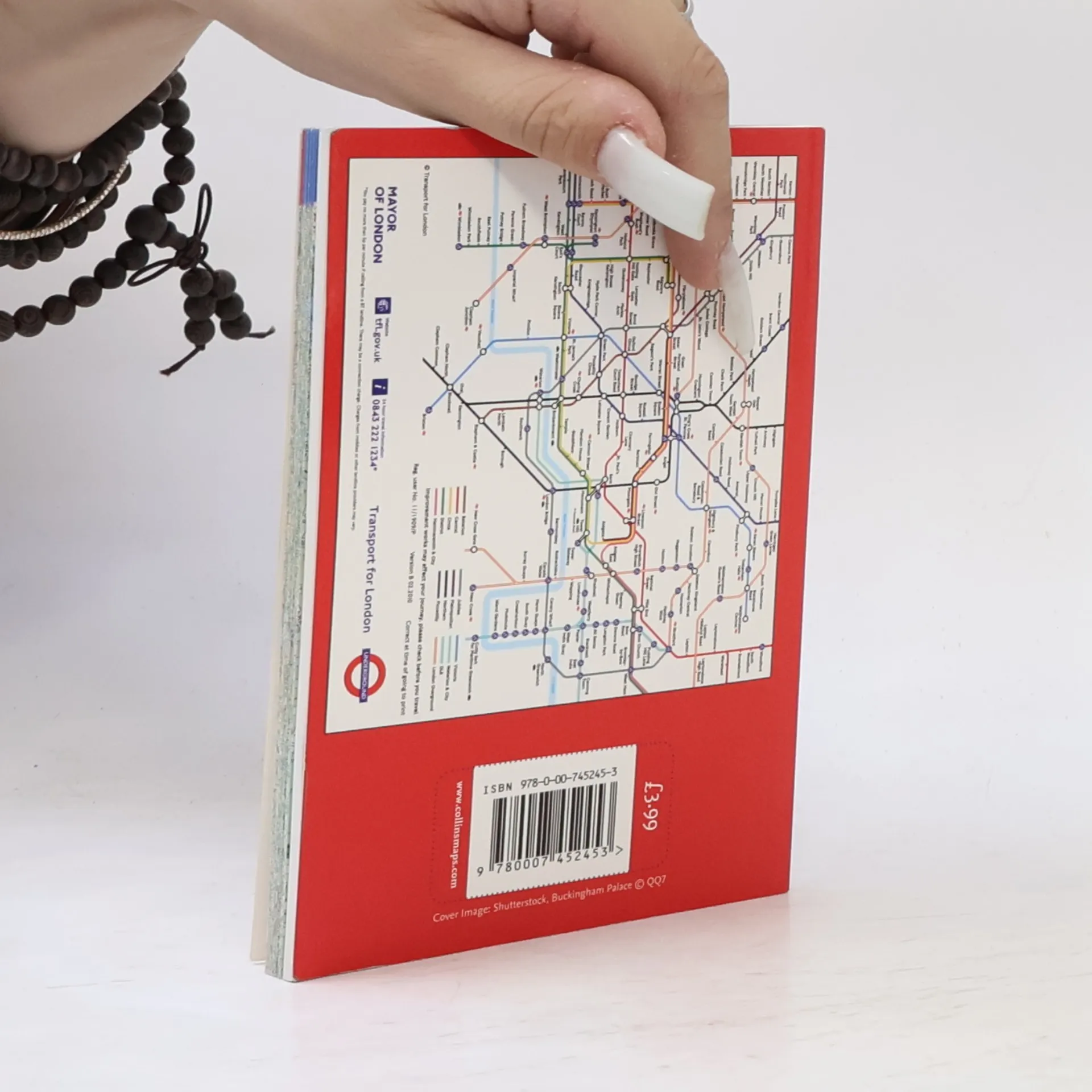
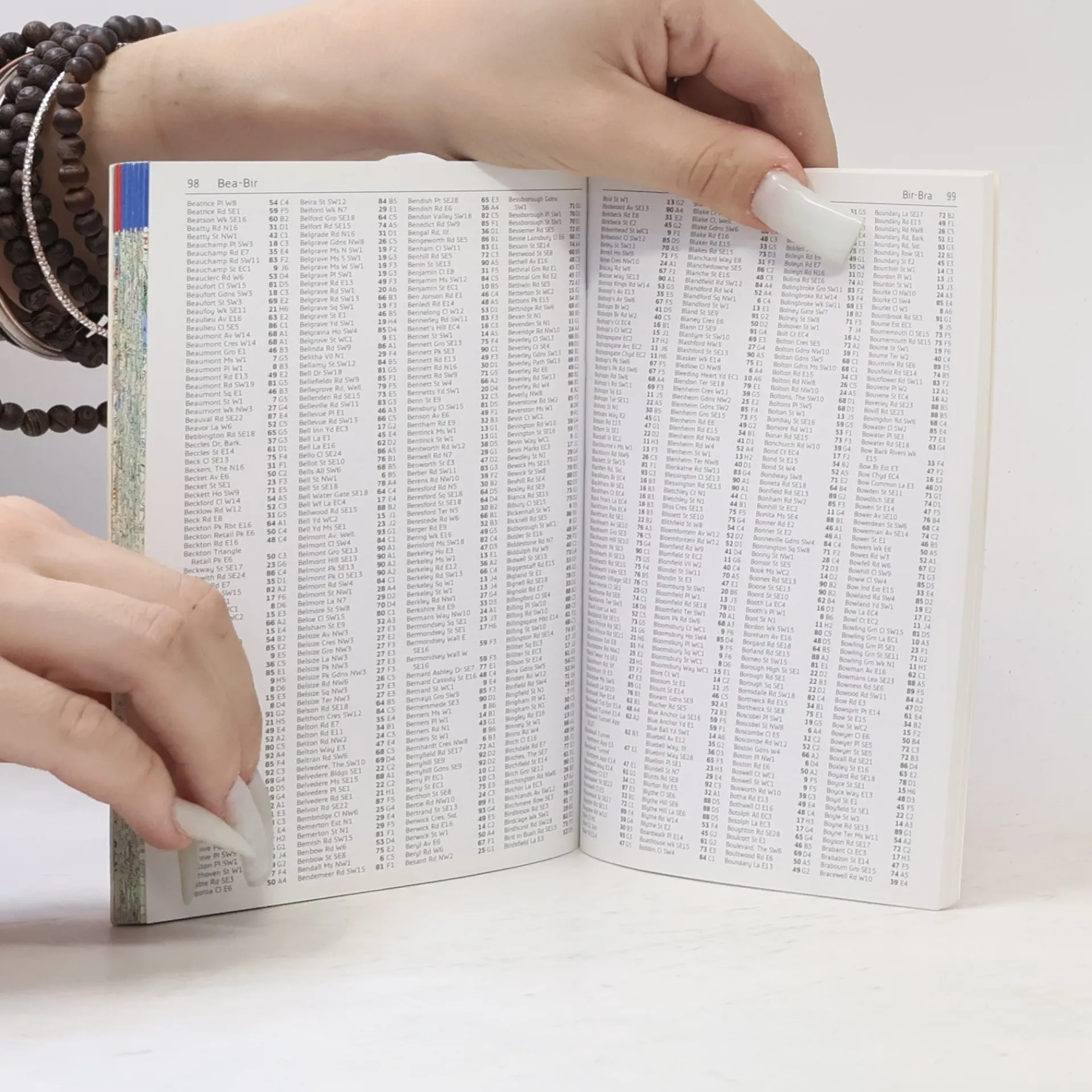
Fully updated, clear street maps of Central London and the surrounding area in a pocket-sized atlas An ideal purchase for resident or visitor alike, this handy little atlas has an extensive area of coverage and shows the center of London at an extra large scale. From Chiswick in the west to Barking in the east, and Hampstead in the north to Dulwich in the south, mapping is at a scale of 1:20,000 (3.17 inches to 1 mile); and in Central London at 1:12,500 (5.1 inches to 1 mile). The maps are exceptionally clear and easy to use with color coding for both the roads as well as locations such as shops, hospitals, hotels, schools, and more. It includes the new Olympic Park, the latest boundary of the congestion charging zone, tourist information centers, an updated underground map on the back cover, and a full index to street names.


Zakup książki
Collins London Pocket Atlas - New Edition,
- Język

- Rok wydania
- 2012
- Oprawa
- (miękka),
- Stan książki
- Bardzo dobry
- Cena
- 4,10 zł
Metody płatności
Brakuje nam tutaj Twojej recenzji.
- Tytuł
- Collins London Pocket Atlas - New Edition
- Język
- angielski
- Autorzy
- Wydawca
- HarperCollins UK
- Rok wydania
- 2012
- Oprawa
- miękka
- Liczba stron
- 144
- ISBN10
- 0007452454
- ISBN13
- 9780007452453
- Seria
- Tagi
- Ocena
- 5 z 5
- Opis
- Fully updated, clear street maps of Central London and the surrounding area in a pocket-sized atlas An ideal purchase for resident or visitor alike, this handy little atlas has an extensive area of coverage and shows the center of London at an extra large scale. From Chiswick in the west to Barking in the east, and Hampstead in the north to Dulwich in the south, mapping is at a scale of 1:20,000 (3.17 inches to 1 mile); and in Central London at 1:12,500 (5.1 inches to 1 mile). The maps are exceptionally clear and easy to use with color coding for both the roads as well as locations such as shops, hospitals, hotels, schools, and more. It includes the new Olympic Park, the latest boundary of the congestion charging zone, tourist information centers, an updated underground map on the back cover, and a full index to street names.